


TRIP DETAILS
TRAIL MAP
OVERVIEW
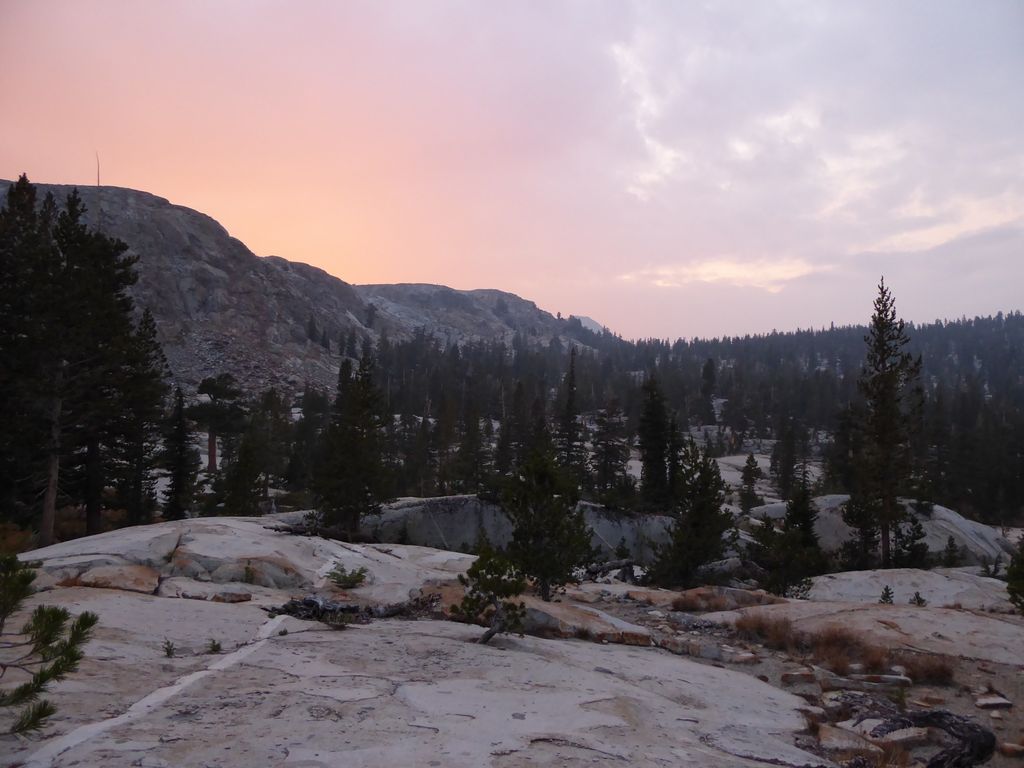
This trip report summarizes my fourth attempt at getting up to Obelisk Lake. The first two attempts were done in late Spring with snowshoes (one is described here). In retrospect, that was pretty foolish. No matter what way you slice it, it's just too steep and high up for a slog through deep snow, in my opinion. Or maybe I'm just not hardcore enough.
The third attempt was just poor planning on my part. I chose a really bad route down from the ridge that lies to the south of Red Peak Pass and ended up burning almost an entire day on the descent. I hadn't allocated any extra days, so I ended up turning back at Adair Lake so my parents wouldn't call the rangers when I didn't show up in time.
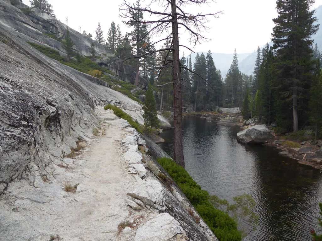
The reason I am telling you this is so that you don't underestimate how tough it is getting to Obelisk Lake. The standard route would probably be the easiest, especially if you just kept the bulk of your gear at Merced Lake. But be careful if you take this route, specifically when you are going down, because I am pretty sure I was nowhere near the cavalry trail they are talking about on the latter site.
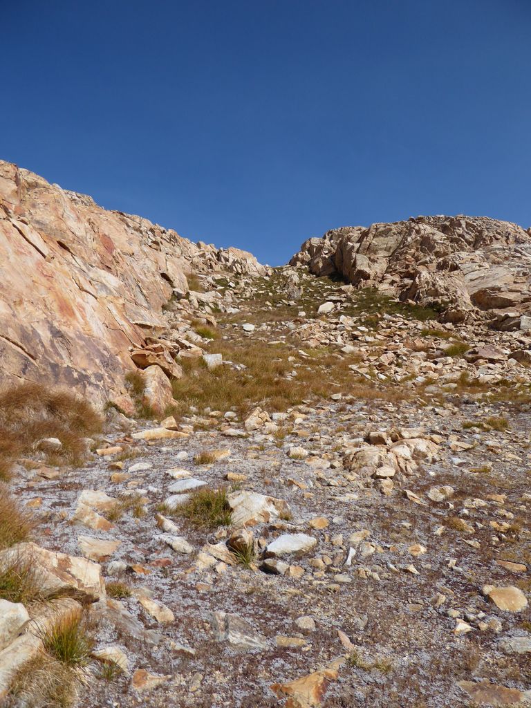
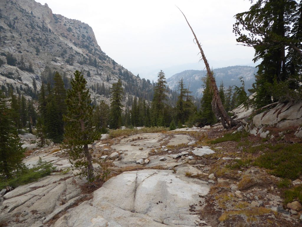
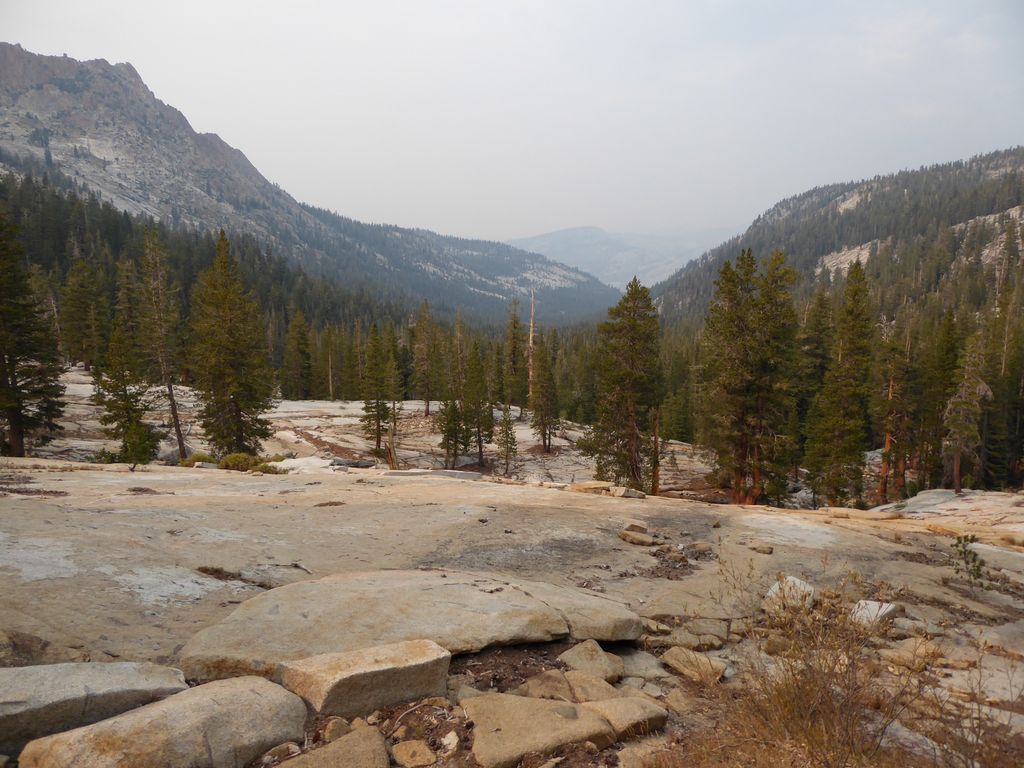
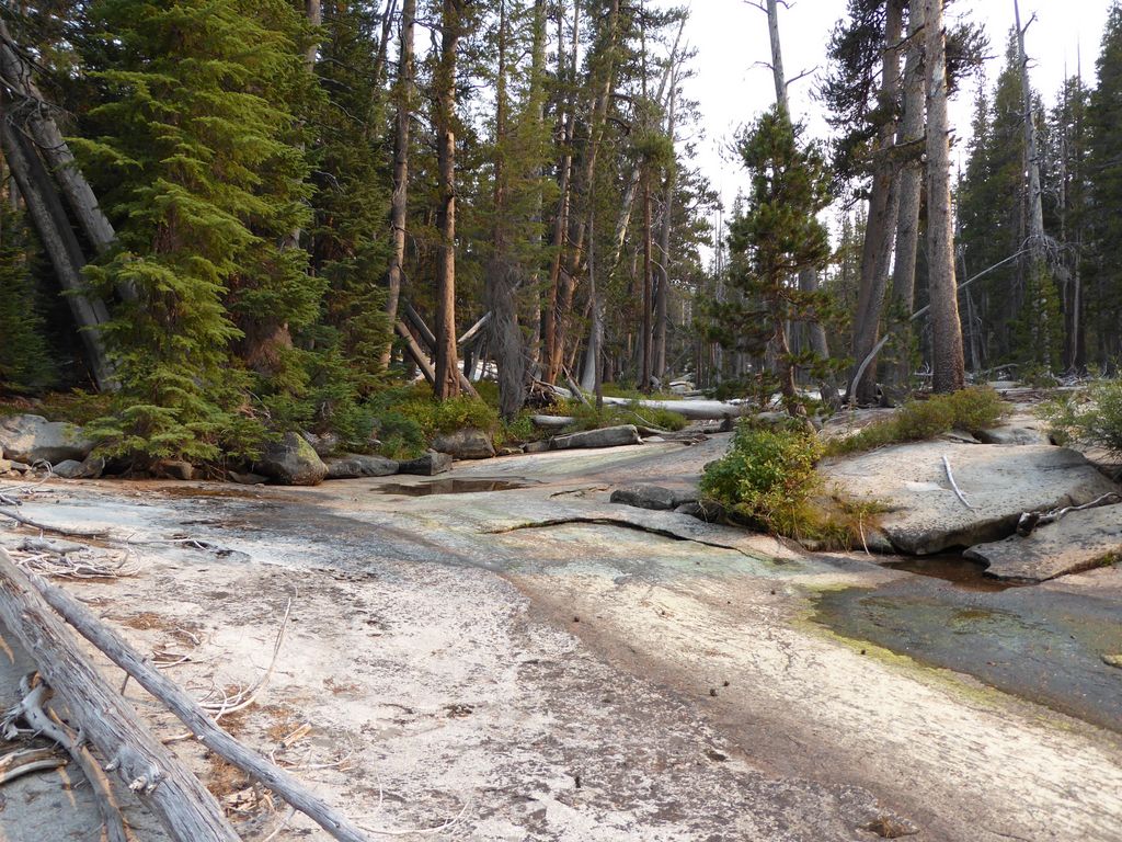
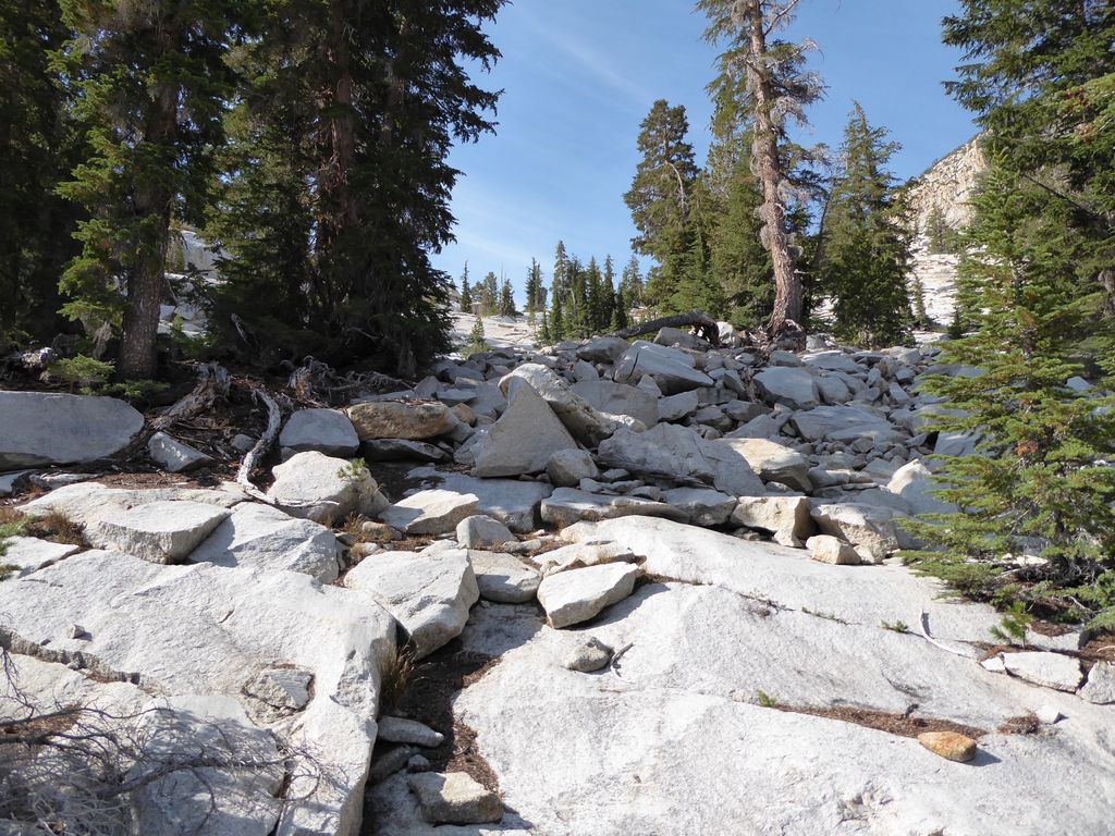
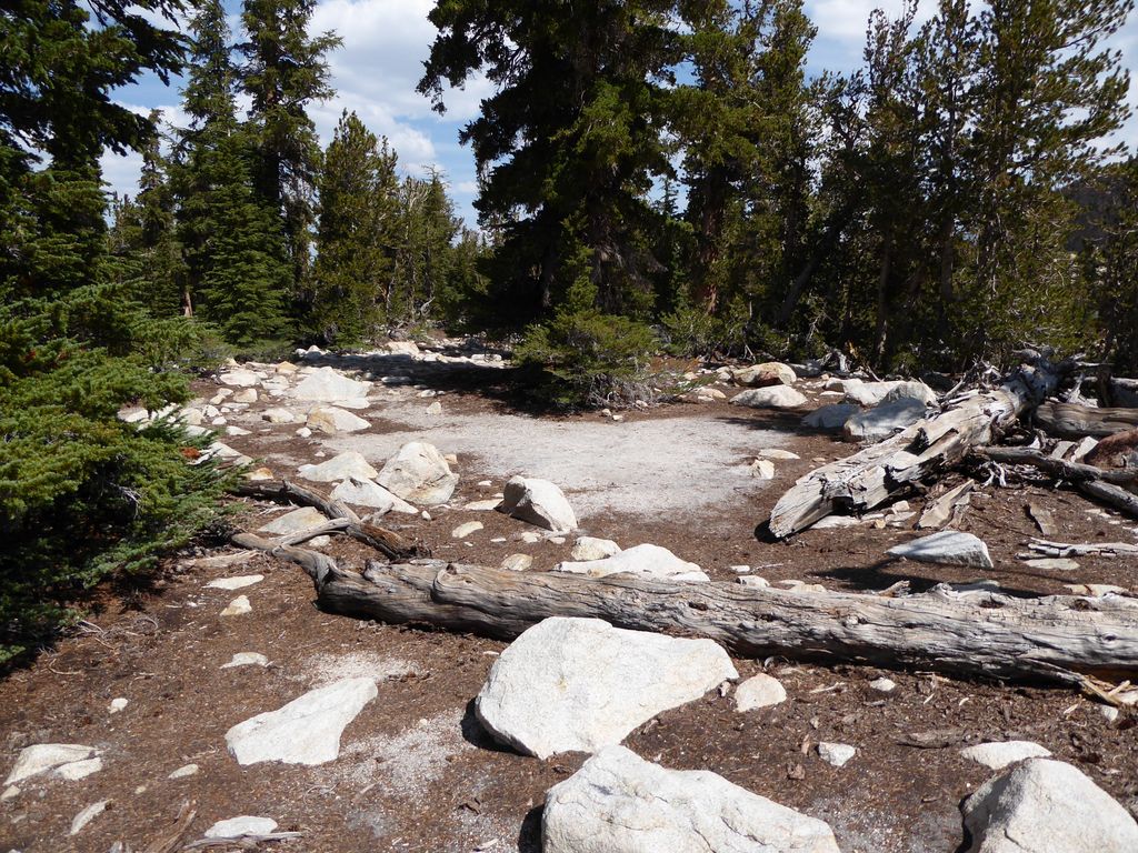
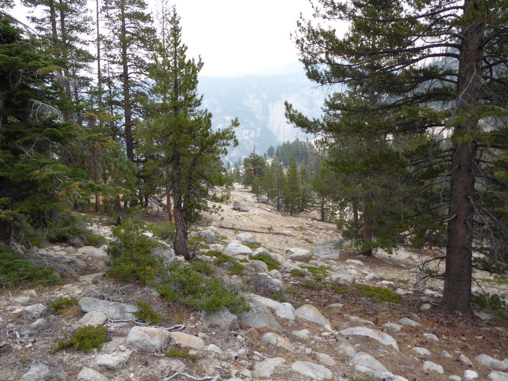
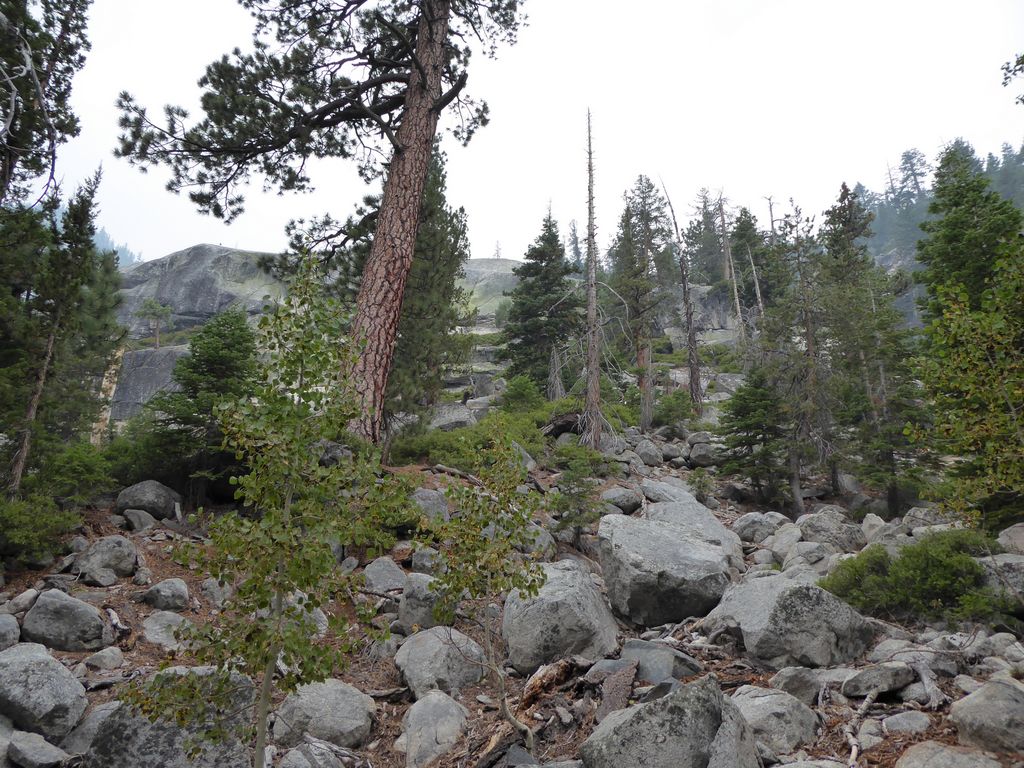
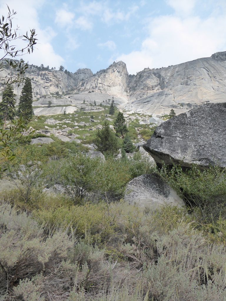
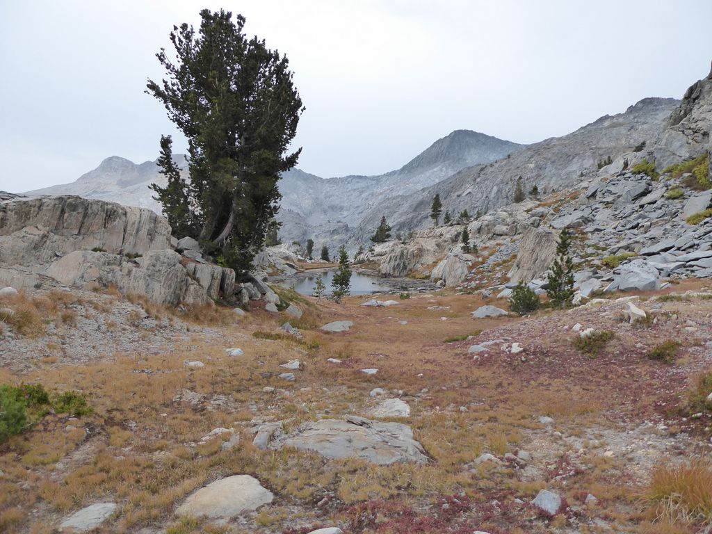
If you zoom in on the map above, you'll see I came down on the east side of the Grey Peak Fork. I thought I saw enough footprints to convince me that it was a well-used trail. But right around 7600 feet I came to a tall ledge that required either rope, serious spider man skills, or a hike 1000' back up the way I came. Looking at the satellite map, I am fairly certain that the proper way to go would be to stay on the west side of the Grey Peak Fork and follow the trees down. Crossing the Grey Peak Fork from about 8400 ft down to 7400 ft seems like it would be basically impossible.
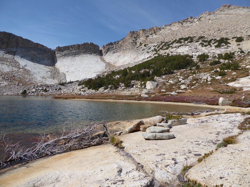
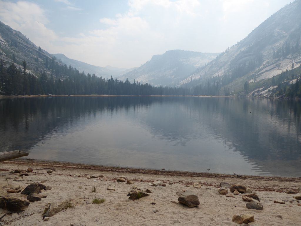
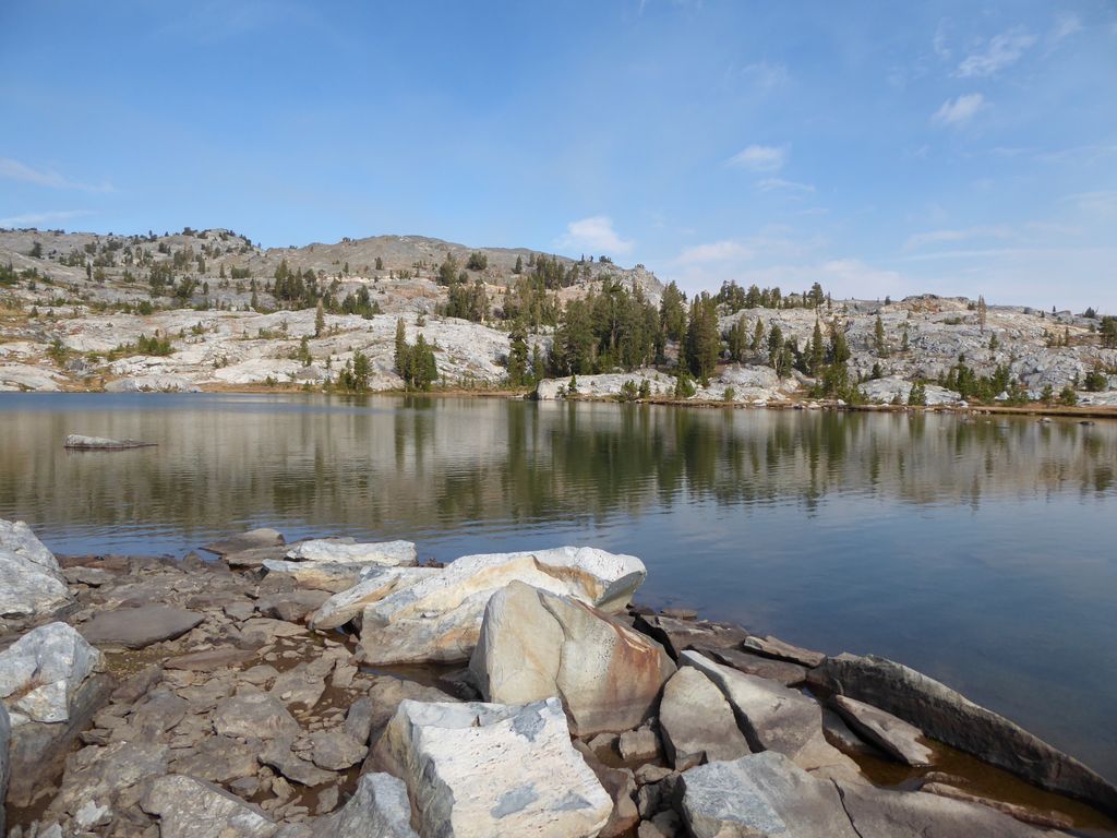
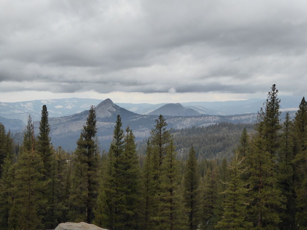
The site above claims that the scenery at Obelisk Lake is only 2/5 stars. I couldn't disagree more. The lake itself is spectacular, and the one 500 feet above has a flat shelf at the northwest end that provide an even more spectacular view of the eastern half of Yosemite. All in all, I would say that this trip was worth four attempts.
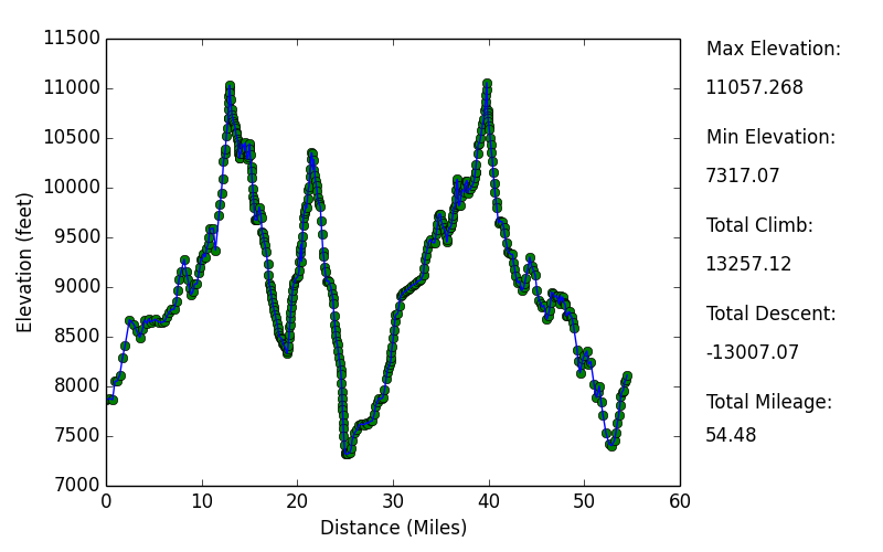
Elevation Profile
TRIP LOG
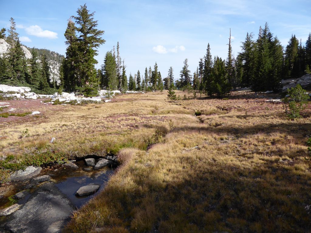
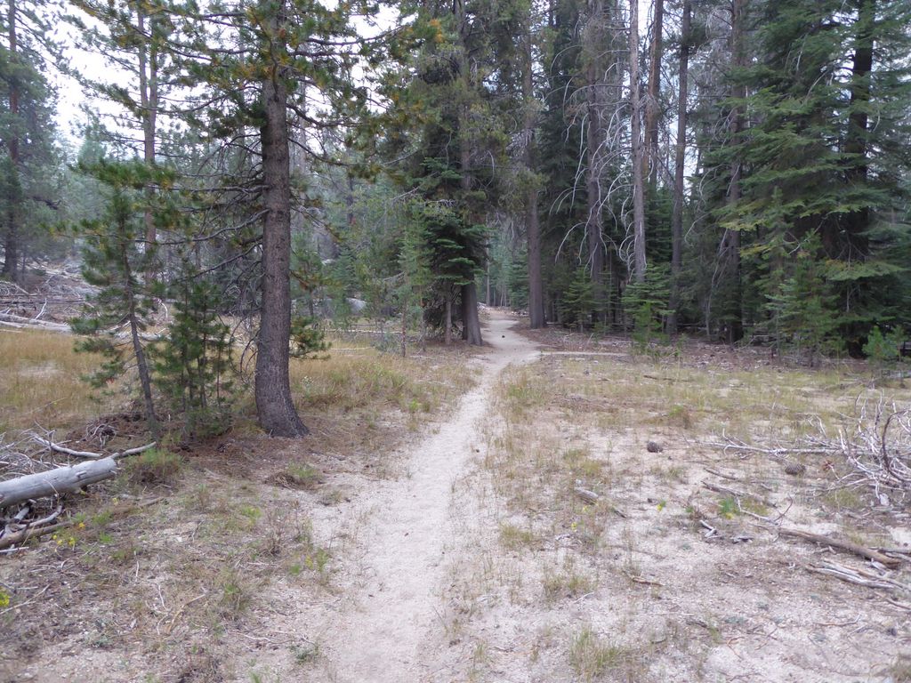
I am not going to go into much depth on Day 1 since I've already given a pretty thorough description of it in my Adair Lake Trip Report. The one thing I feel urged to mention is that—even in early to mid-September— there was
no running water along the first 11.5 miles of the route I took. This was probably due to the severe drought that Calornia was facing at this time. But regardless, if I was to do this route again, I would probably make a quick stop at Chain Lakes to fill up. It's a bit out of the way, but it beats pulling water from one of the three or four
tiny little ponds on the way to Lower Ottoway Lake.
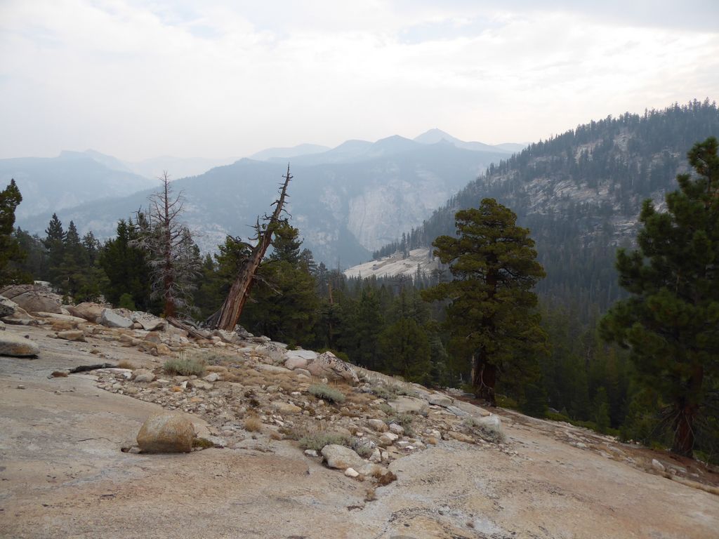
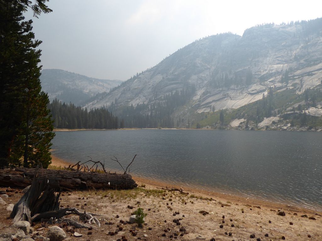
I was really looking forward to a good view of Mt. Starr King, but unfortunately it was well obscured by
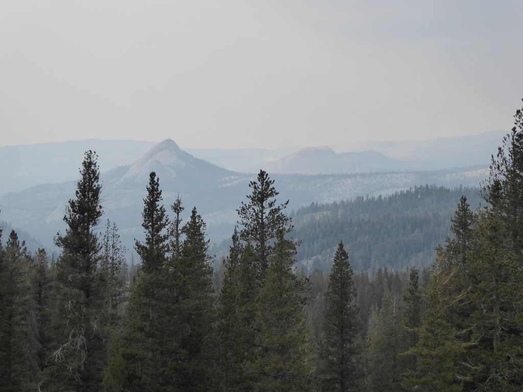
thick smoke from the fires that had been raging to the south over the last few days. That was a hallmark of this trip: the smell and sight of smoke at almost every turn. Only occasionally would the winds pick up enough to provide a decent view of the ranges in the distance.
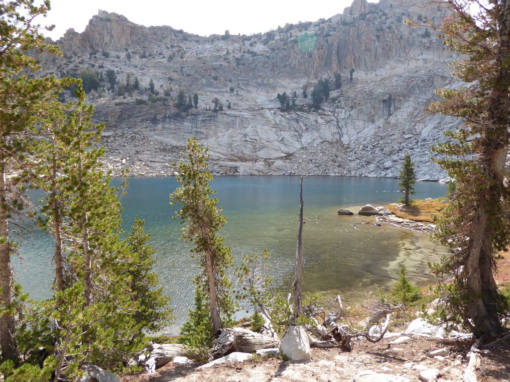
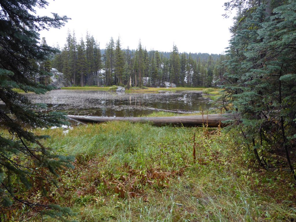
When I reached Ottoway lake that first night, I was very happy to see that it was still just overloaded with fish. I didn't bring a rod and reel this time because I wanted to cut down on weight. But I estimate that if I did, I would have had a fish dinner in about 8-10 minutes.
The morning of Day 2 was a great example of the wind carving out some good visibility. On my way past Lower Ottoway Lake, I was treated to some
gorgeous views of its calm surface. I had wanted to get an early start, so I set off around 8 am. I figured that I could be at the top of the ridge above Lake 9705 (the lake to the east of Adair Lake) by about noon if things went properly.
I had met some guys the night before that were very excited about Red Peak Pass. One of the guys was telling me he thought that it was some of the most intense switchbacks he had ever seen. Not sure I quite agree with that statement exactly, but they are definitely intense. He also told me to take note of the retaining walls near the top, which is something that I probably wouldn't pay attention to normally. But after doing a bit of trail building for VO-Cal, I must say I have a huge appreciation for what they did there. If you cross over the pass, just look at how well constructed and solid they are.
The route up to Red Peak Pass was fairly easy for the first half a mile or so, as the ascent is gradual. But around 10,400 ft in elevation, it takes a dramatic jump in steepness (right when the switchbacks start). On the way up, the views of
Upper Ottoway Lake provide a
great distraction from the huffing and puffing.
Near the top, there were a set of very colorful
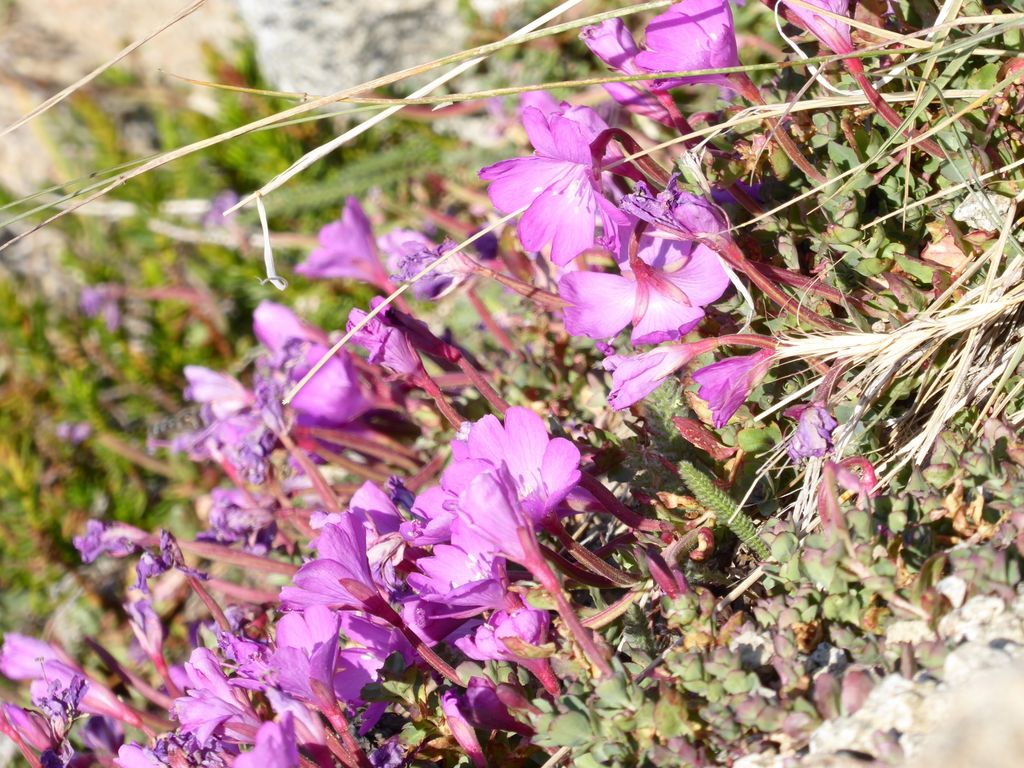
flowers, which I believe are called "Rock Fringe" flowers (I am guessing based off of an identification from The Laws Field Guide to the Sierra Nevada. I was at the top of the pass right around 10 am, which meant I was pretty well on schedule.
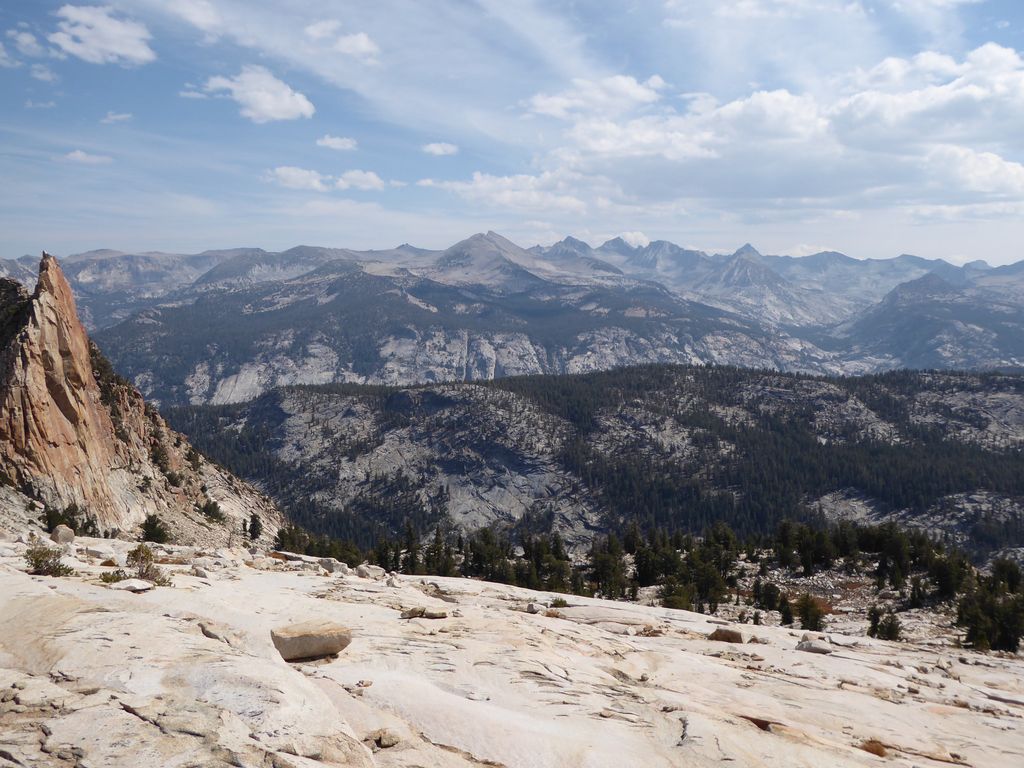
Once again I was greeted with the
stunning view from Red Peak Pass. I had been waiting for this moment for nearly a full year. A chance to redeem myself from the failed attempt at reaching Obelisk Lake last fall.
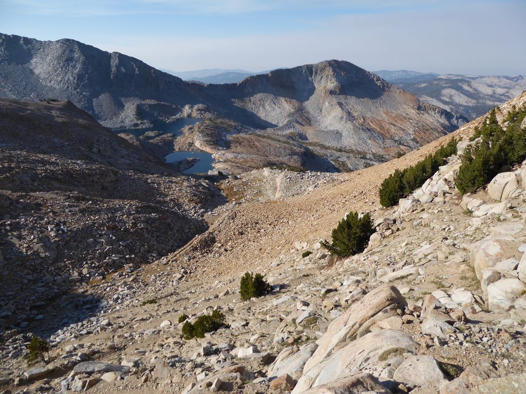
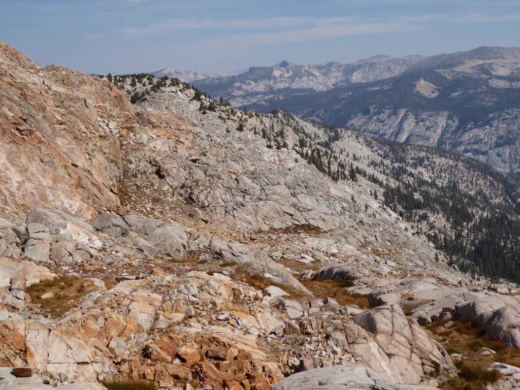
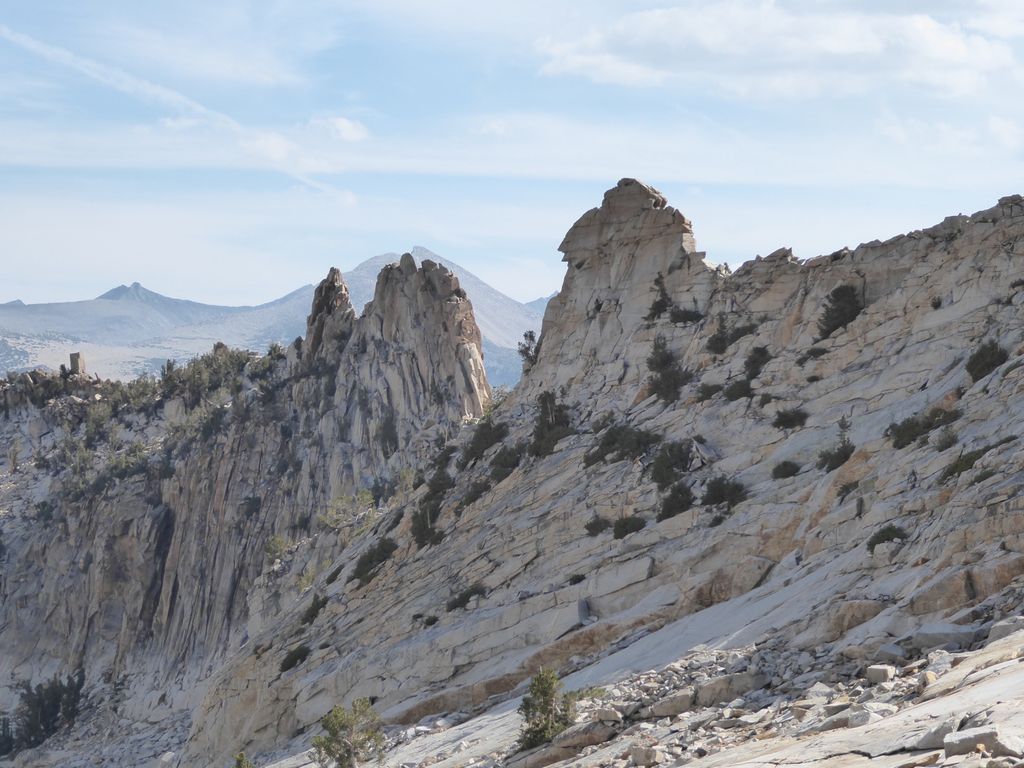
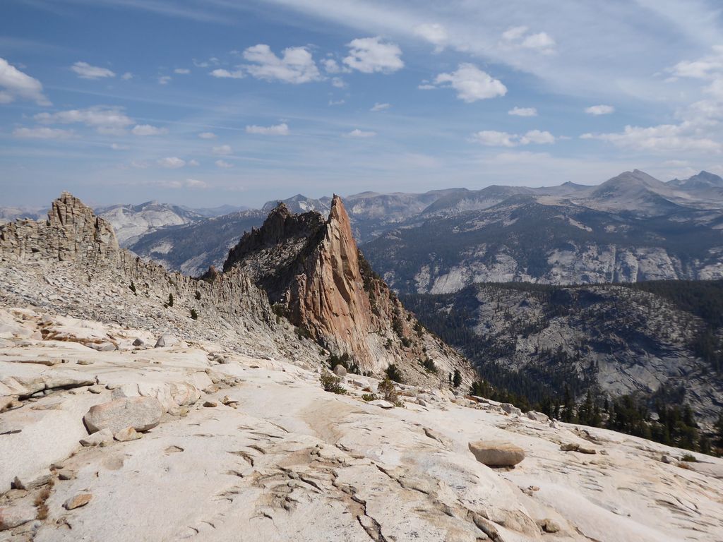
At this point, I had a major decision to make. While planning the trip, there were two basic options I had been thinking about for getting into the canyon of the Grey Peak Fork:
-
Use the same route I had used to get out of the canyon the year before.
This would consist of traveling along the trail down from Red Peak Pass to about 10,400 ft and then heading
up towards the source of the Red Peak Fork. Once there, I would have to skirt north along the semi-flat section of
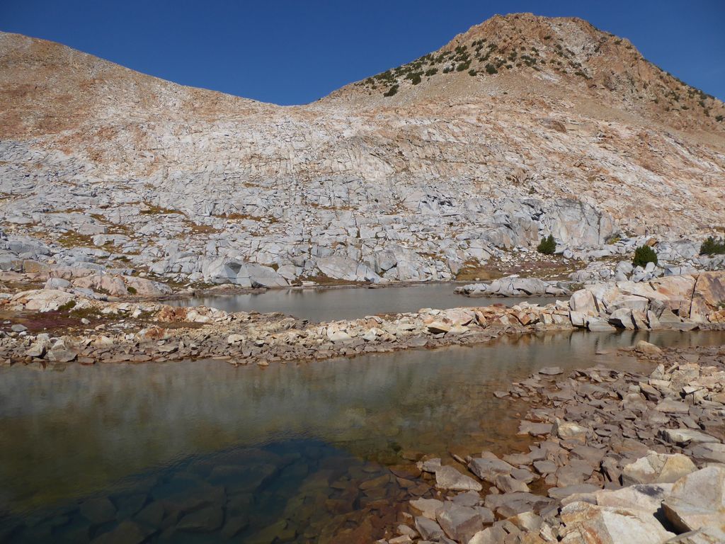
contours at around 10,450 ft that lead to a large pool just past the

orange notch (in the left of the picture), climb over the grey ridge past the orange notch, and then descend in a northwestern direction to Lake 9705. -
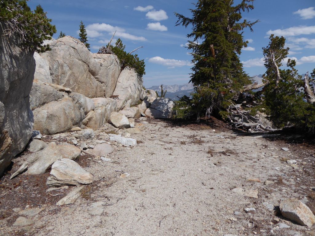
Use a new route that had been recommended to me on a
High Sierra Topix forum about Obelisk Lake. This would consist of following the trail down from Red Peak Pass and
then breaking off at around 10,000 ft to reach Red Devil Lake. After that, I would follow the Red Peak Fork for about a mile
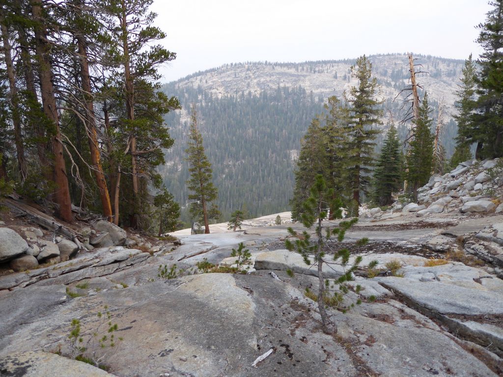
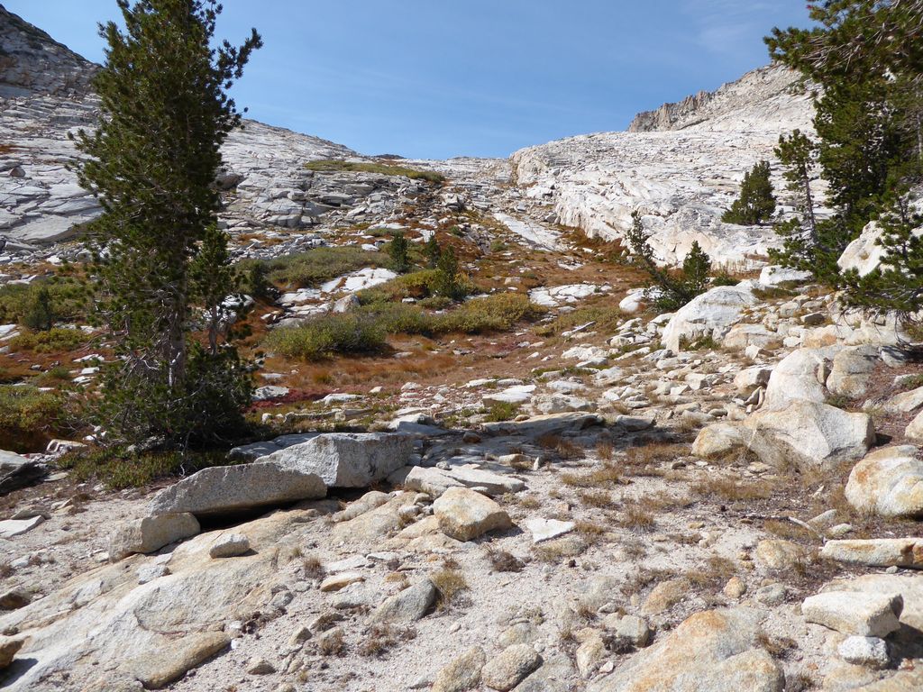
or so north, crest the ridge to the west (read the details in the forum about a slot canyon and "following the trees", which
you can see
in this picture), and then descend to the northeastern shore of Lake 9705.
I decided to go with the first option due to the fact that choosing the second would involve losing a substantial amount of elevation before I climbed over the barrier that separates the Red and Grey Peak Forks. Plus, I was already familiar with the first route, and I knew it wasn't anything too difficult.
So once I got down to about 10,400 ft, I broke away from the trail in a northwestern direction and headed toward the Red Peak Fork. It was very easy climbing up to the
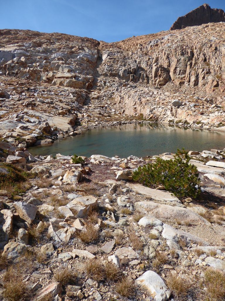
small pool at its end. I took a nice long break at this pool to have a snack. There are some good shelfs of rock that provide shade as long as the sun hasn't risen too high in the sky that I took advantage of.
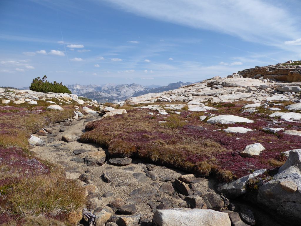
After this pool, I headed basically due north along a nice
grassy path that is so
easy to follow it almost seems like a trail. A few hundred yards north of this is another
series of pools. These ones are actually visible from the pass. The terrain here is
nice and flat, and as you head northward, there is only a bit of up and down for the next few hundred yards. The
views east are pretty fabulous as well.
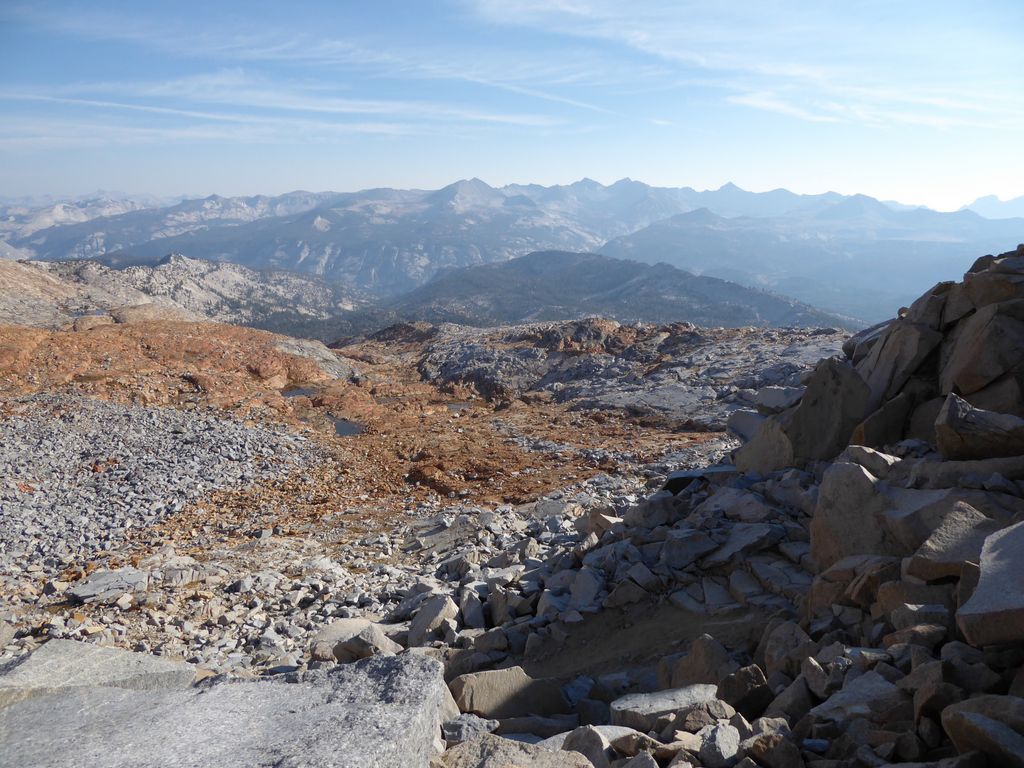
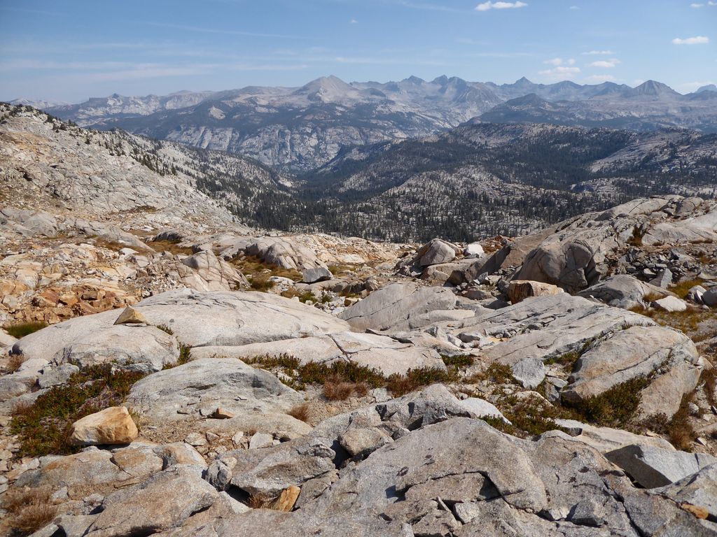
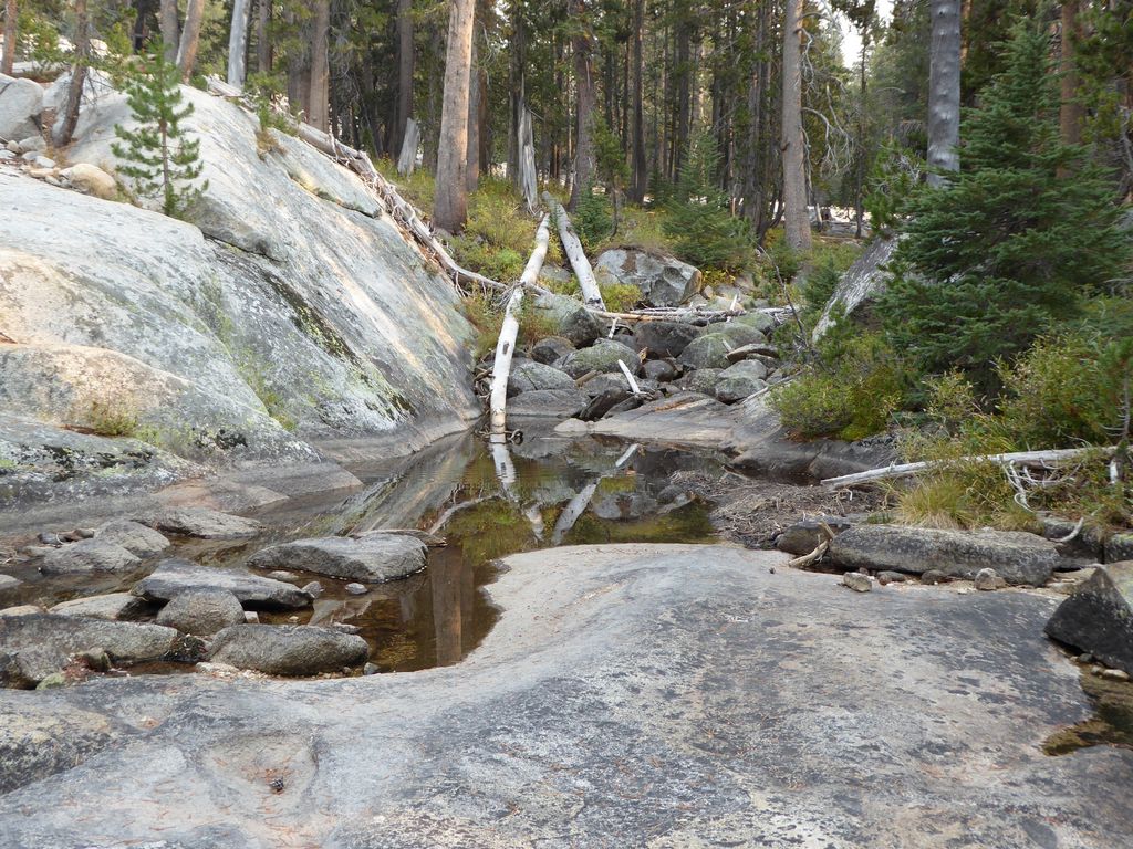
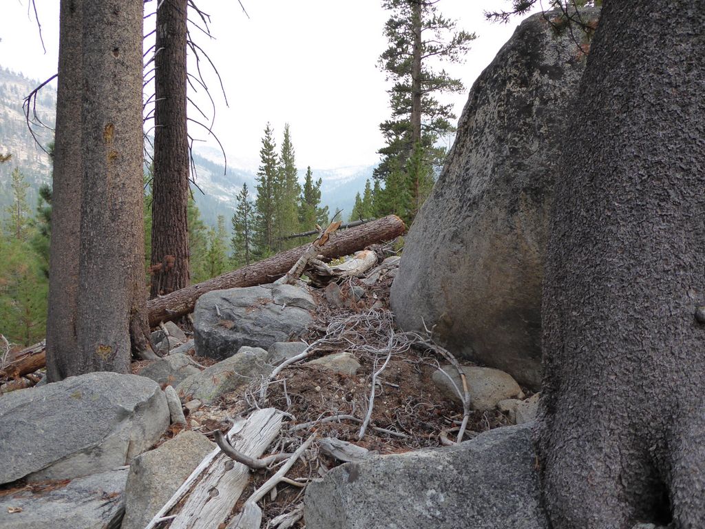
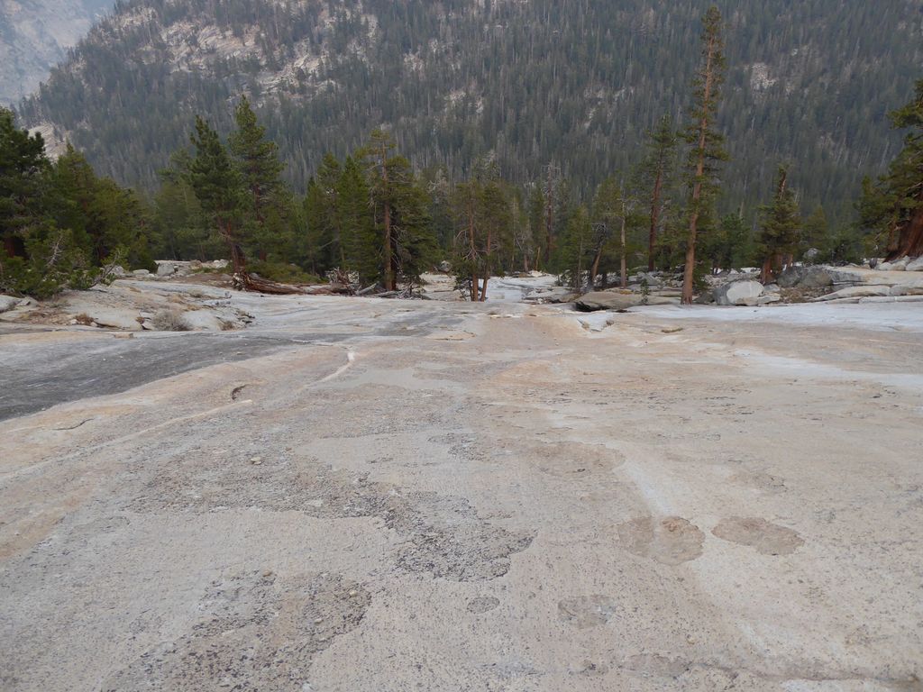
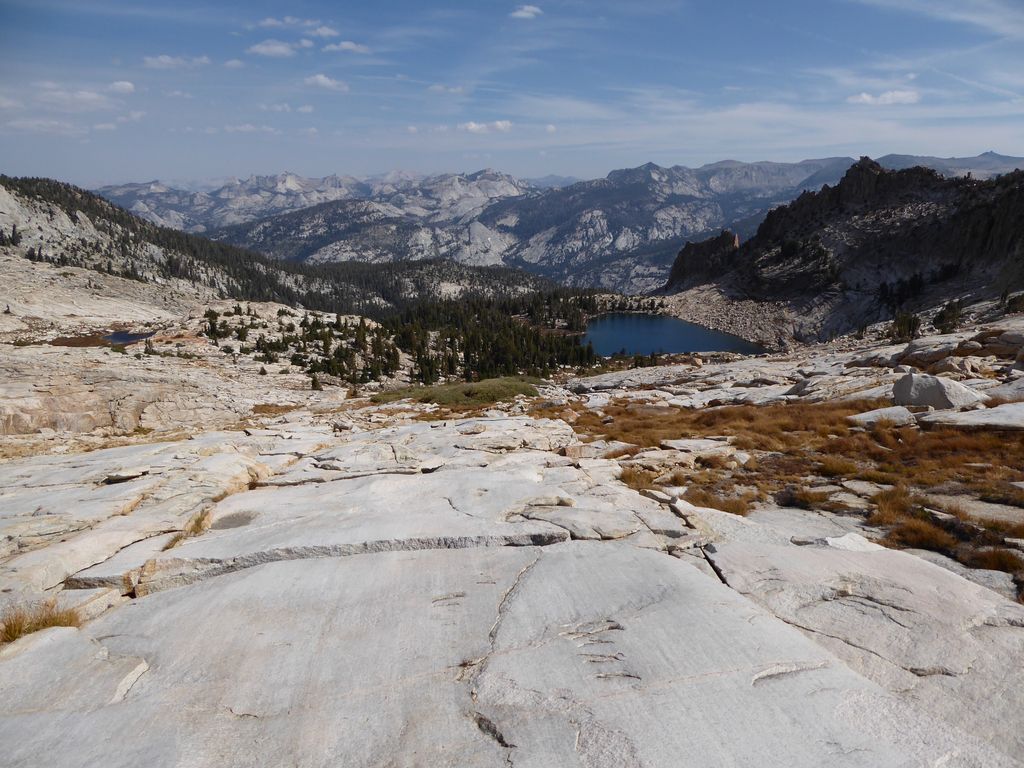
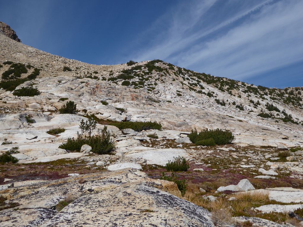
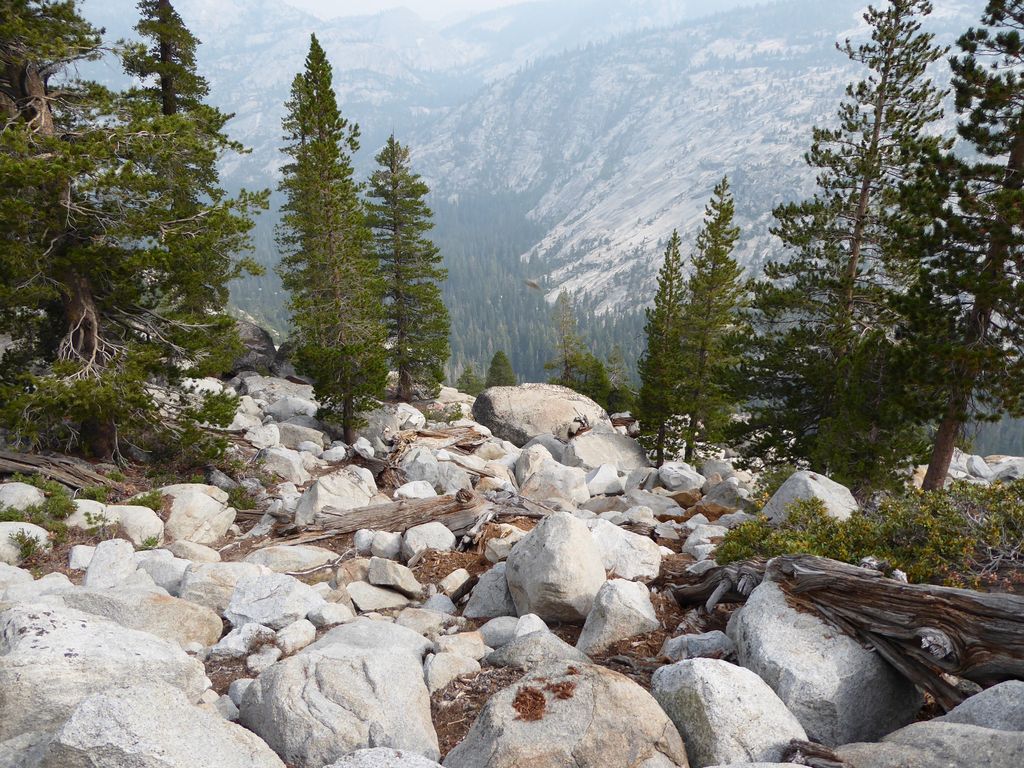
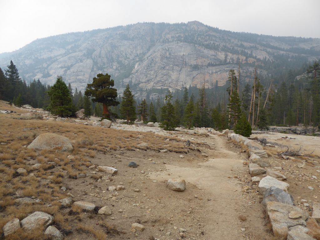
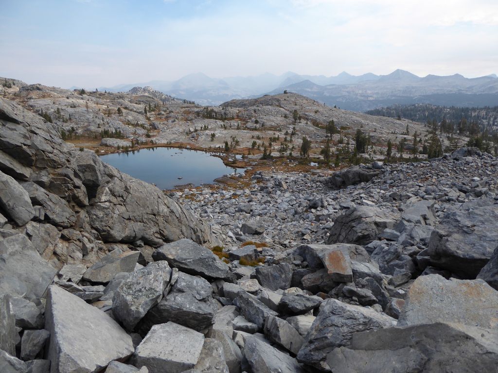
It should be fairly obvious where to go at this point since you are basically trapped in by two steep sections: one on the west and one on the east. The only easy way to go is north-south. This
picture should give you a good idea of what you're up against. At the terminus of this calmly undulating section, there is a pretty steep
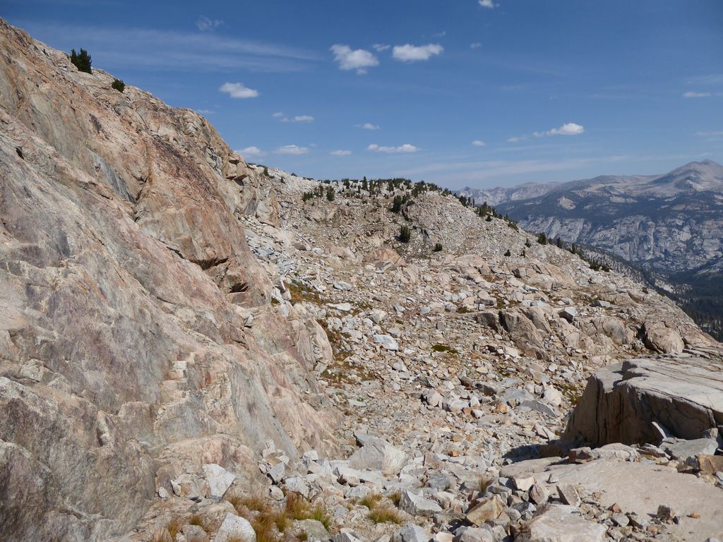
wall that you have to somehow get over.
From my trip the previous year, I thought I could avoid a bit of elevation gain by skirting around the eastern side of this wall, so that's what I did. One my way, I encounted an opening with huge spot of ground
so flat that I swore it had to have been carved out by some humans looking for a nice place to pitch a tent. But it didn't look like there were any signs of footprints or traces of an old campsite.
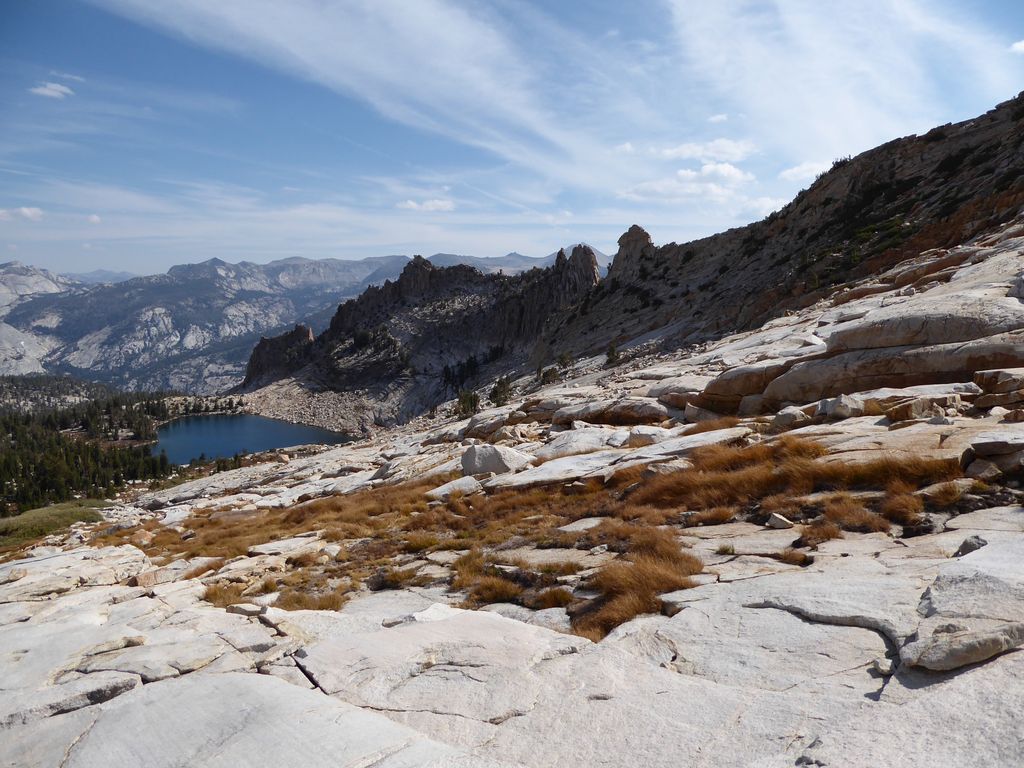
My plan to skirt around the eastern side of the wall wasn't working out so great. The problem was that I kept getting forced up higher toward the ridge that extends northeast because of steep edges to my right as I went along. Long story short, though: I ended up finding a not-too-difficult way up to the top of the ridge and an equally easy way down to Lake 9705. If you look at the contour map above, you can see the exact path I took. Just north of the ridge, here is what the view down to
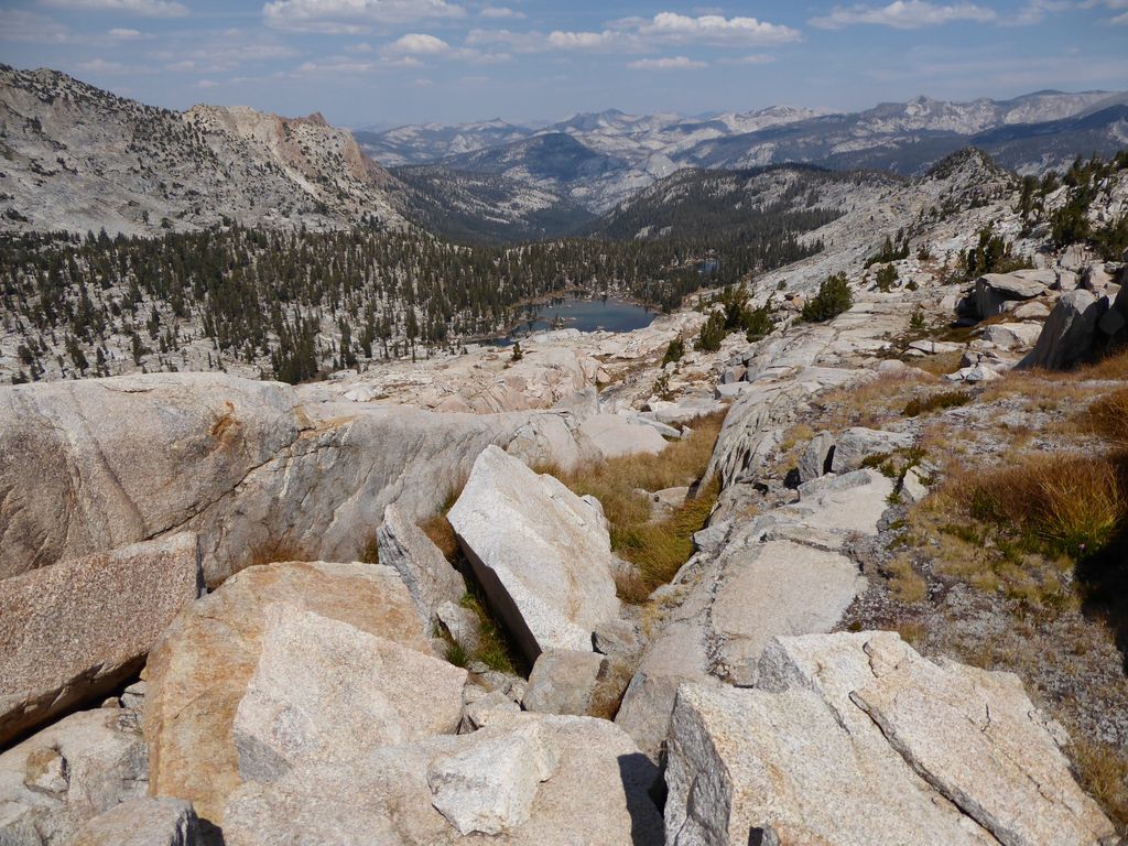
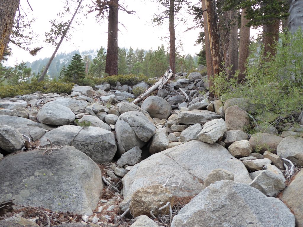
Lake 9705 looks like. It's not the easiest stretch in the world because there are some steep, short drop-offs that need to be avoided. But as long as you take your time it shouldn't be too difficult. Near the base it turns into a
collection of talus that will likely require even more patience.
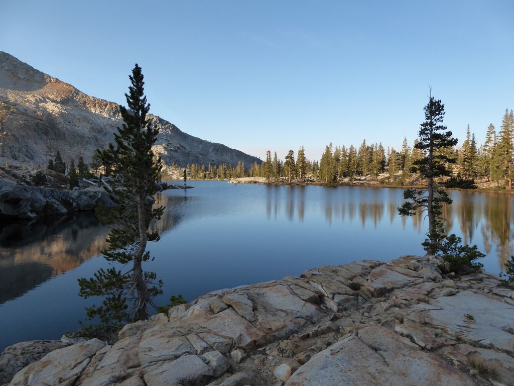
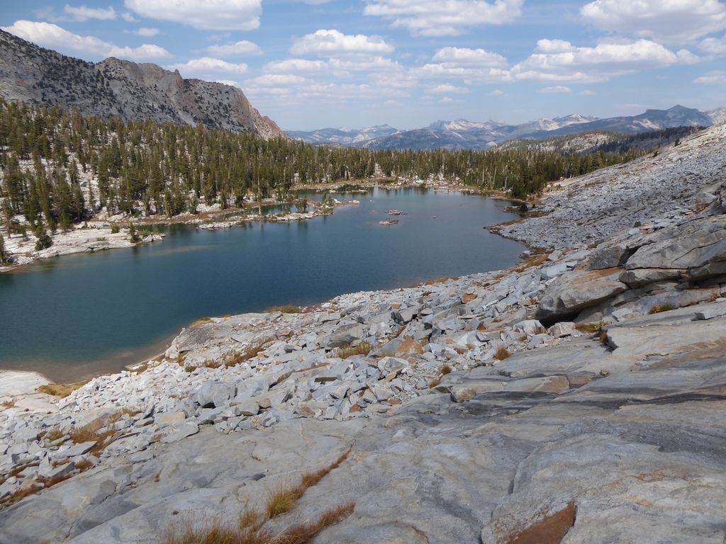
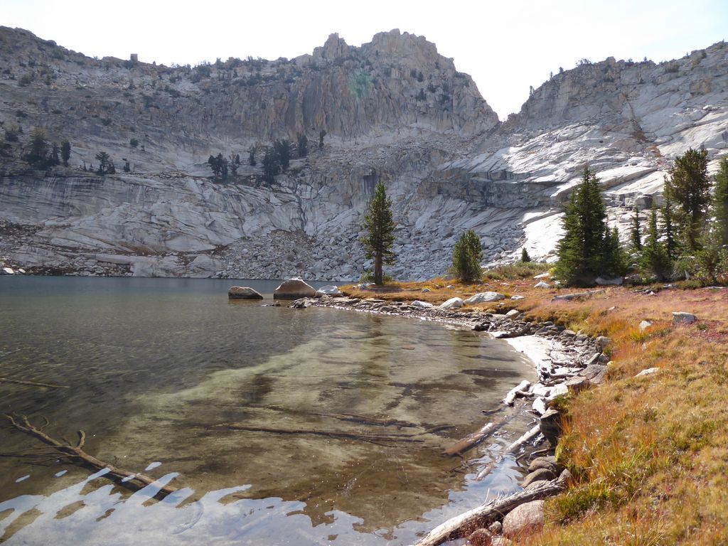
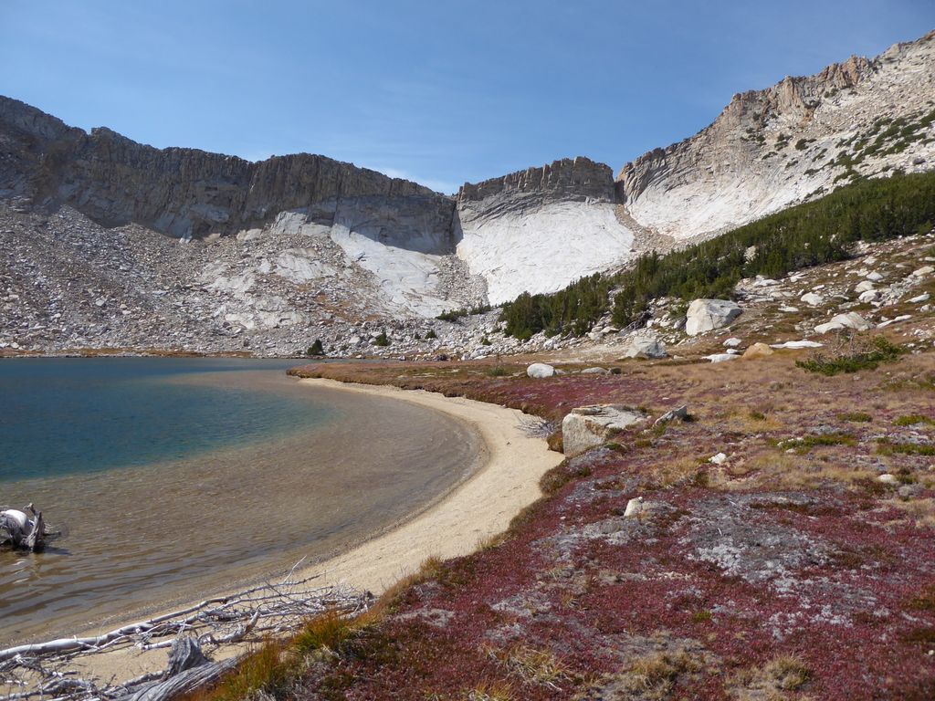
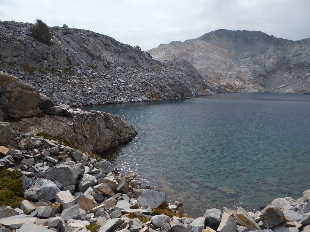
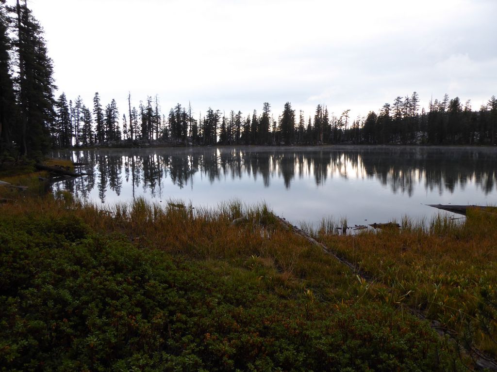
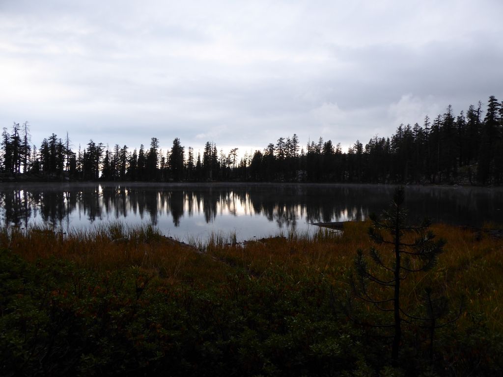
When I finally got down to the
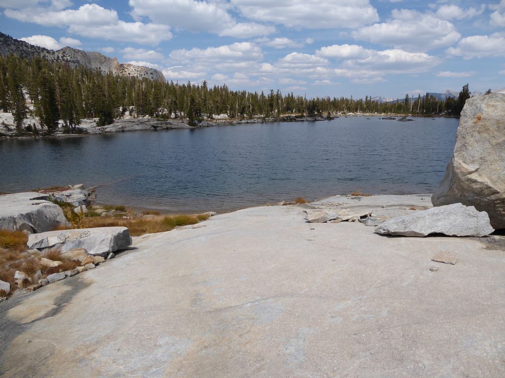
shore of Lake 9705, I took off my pack, stripped down, and went for an absolutely delightful swim. The water was cold, but the shore was nice and sandy, and it felt incredible to get "clean". When I got out of the lake, the sun had pretty much disappeared behind a soft veil of clouds. It was starting to feel cold while I air dried, and while I watched the
sky it was starting to look like an afternoon storm might be headed my way.
With a nice lunch and swim behind me, I set off on my way. There is a small land bridge that extends across Lake 9705, and from the topo map it looked like that would be the best way to make my way north down the Grey Peak Fork. There are a couple of steep sections just to the north of Lake 9705, but if you head in a northwestern direction, you can find some very gradual,
flat
stretches to get down.
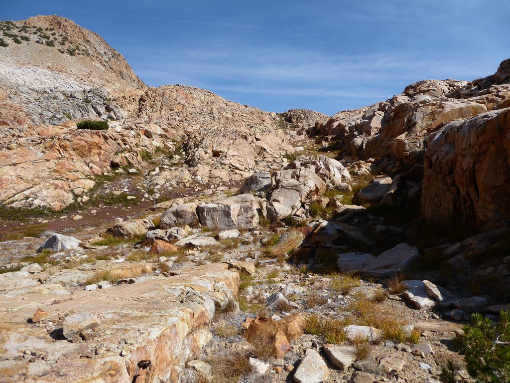
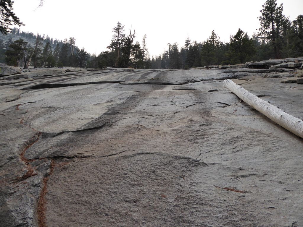
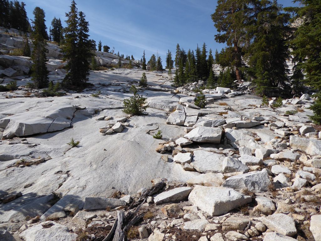
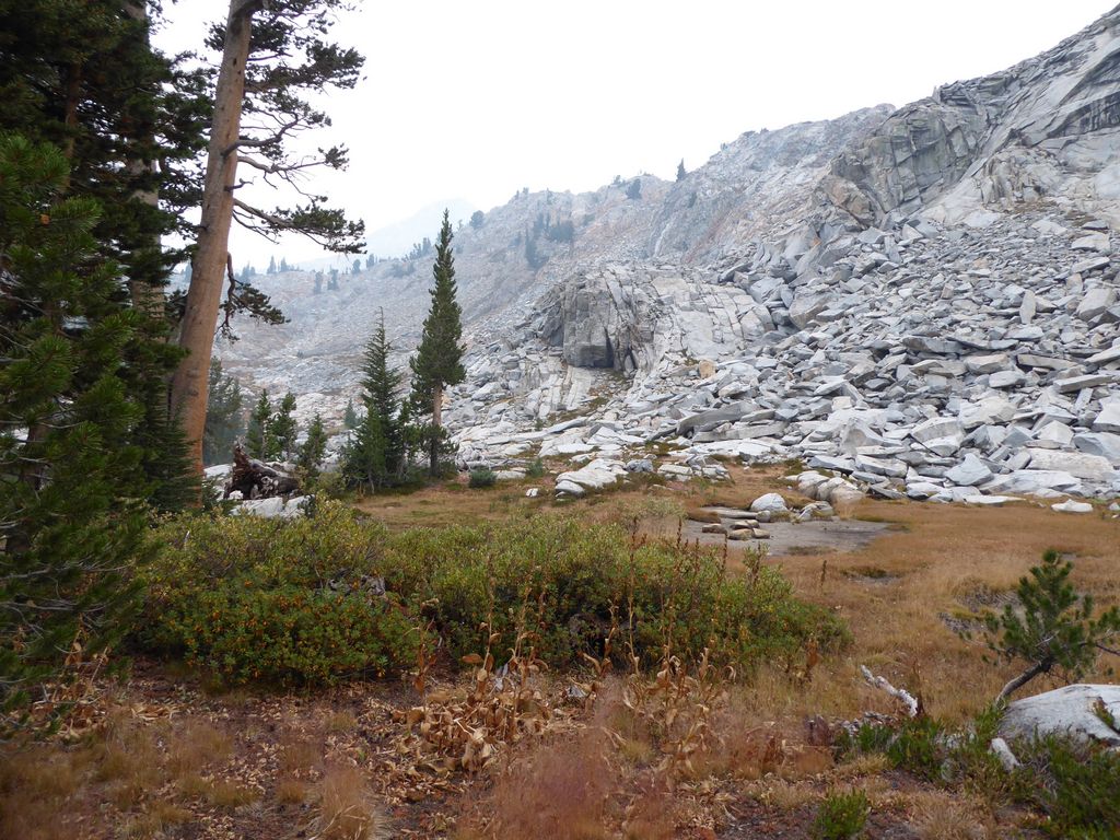
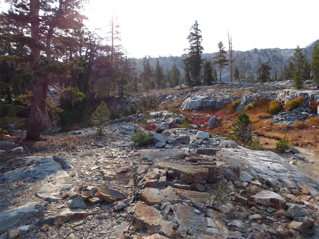
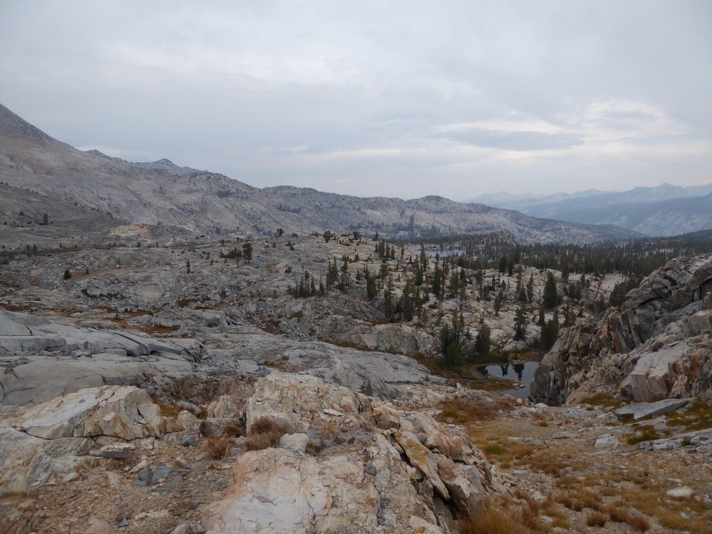
Navigating the canyon of the Grey Peak Fork turned out to be a bit easier than I had anticipated. The bulk of the walking was initially along lovely
patches of granite. There were a few times where I encountered some steep cliffs and had to decide how I was going to get around them, and also a few times where I had to do a bit of bushwacking, but overall it wasn't that bad.
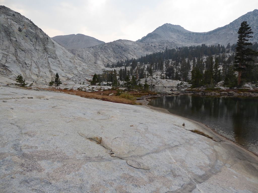
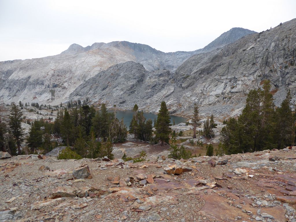
At about a mile down, I was treated to a very nice view of the
obelisk that rises above Obelisk Lake (at least that's what I thought was the reason for naming it Obelisk Lake). At this same point, the
forest started to get a little more dense. There were still some areas where granite led the way, but by and large I was walking through short brush or tall grass.
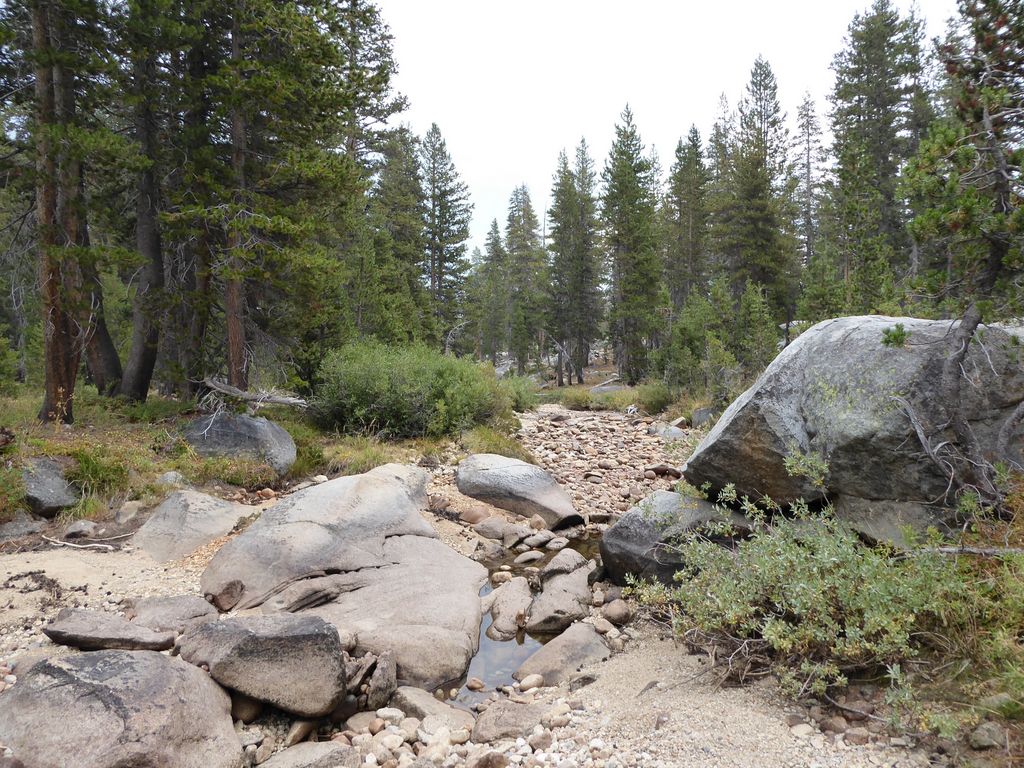
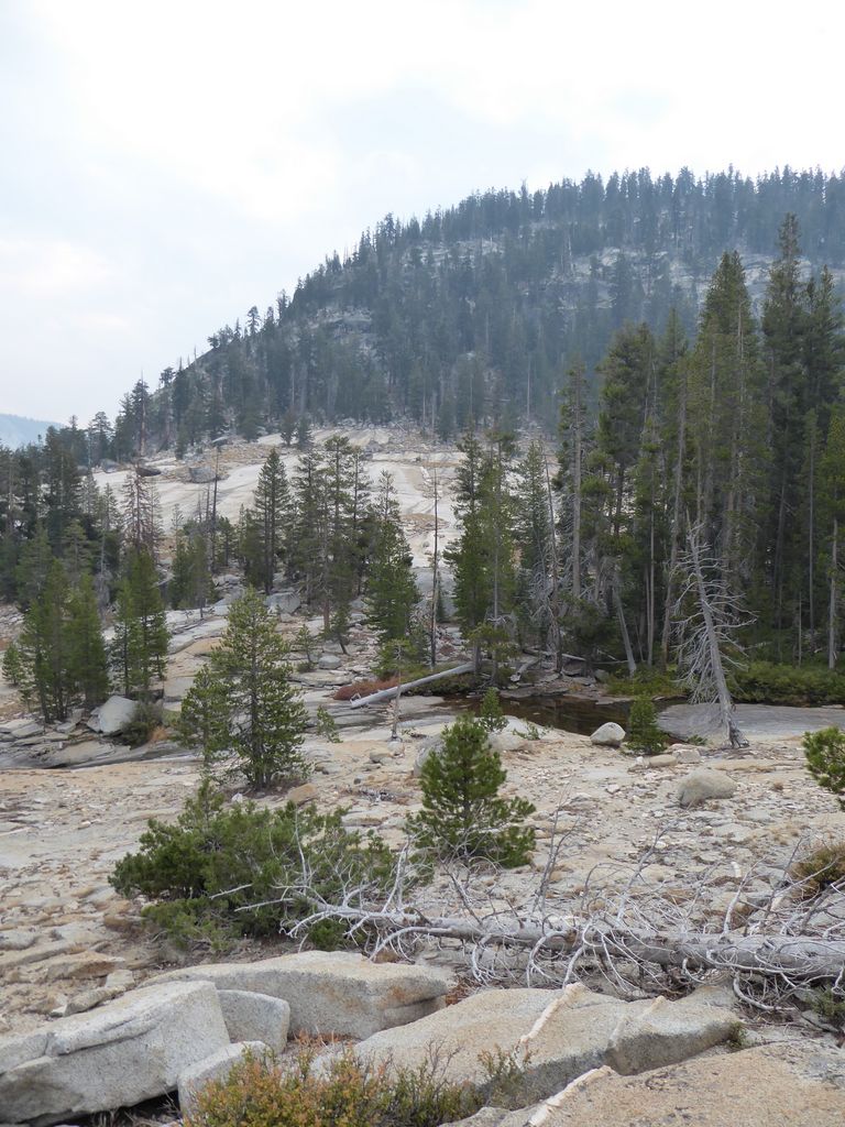
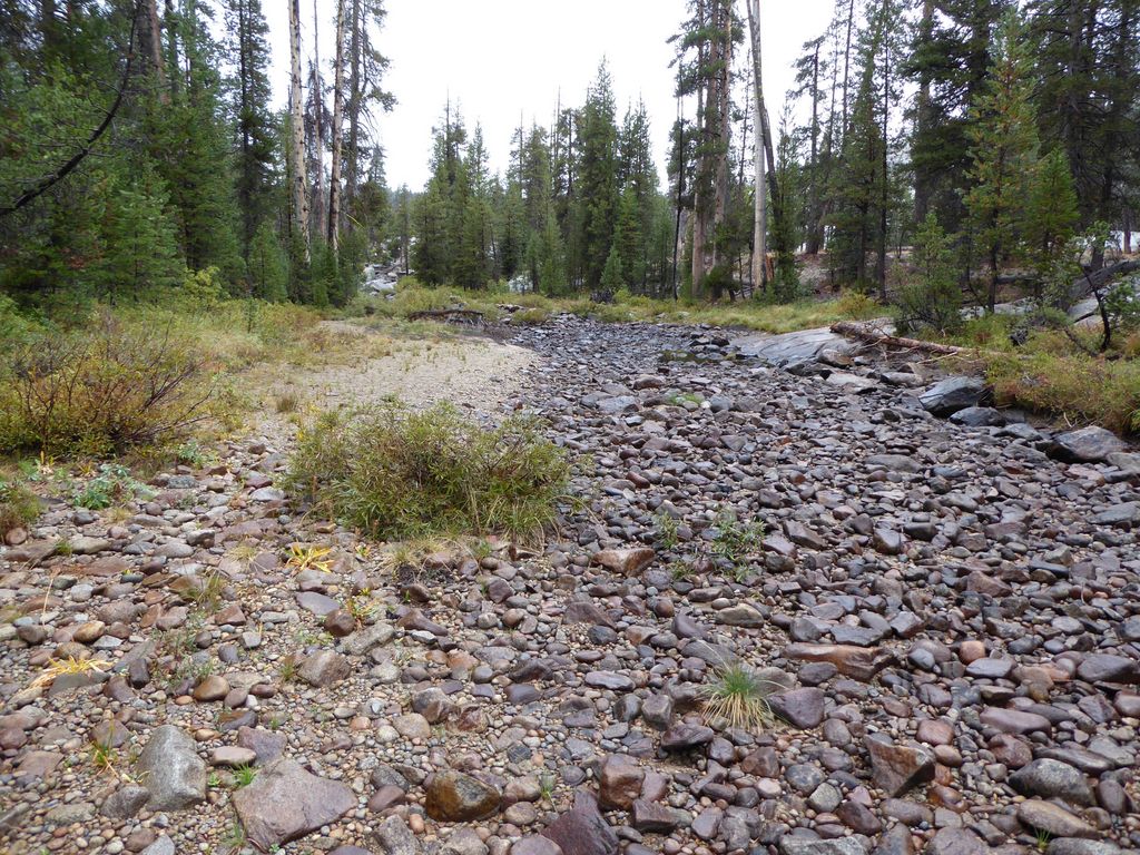
The biggest surprise of all was that the Grey Peak Fork was completely dry. I was not expecting that. I was expecting it to be flowing considering the fact that it's a named stream, and considering that it's fed by lakes that had ample supplies of water. But the first time I found actual
water was around 8700 ft elevation. There was a little
trickle coming through some rocks, and below that there was a small
pool. While I filled my water bottles, I was treated to something interesting. There were about six fish trapped in that pool, and they were swimming rapidly back and forth as if they preparing to launch themselves out of the water.
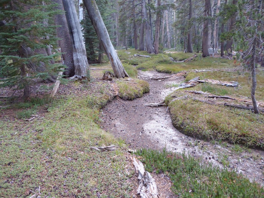
I was only about a mile away from where I planned on camping: the confluence of the Grey Peak Fork and the stream that leads up to Obelisk Lake. I had envisioned this to be a quaint little river valley with plenty of flowing water, a perfect place to camp, right? Well, as I made my way north I began to have a worse and worse feeling about this. Instead of a nice river, I was walking along brush infested terrain with sporadic, shallow pools of water that were perfect breeding grounds for mosquitos. In fact, the mosquitos were so bad when I finally got to where these two streams (or beds of rock, I should say) meet, that I didn't even want to stop and look at my map.
So what I did instead was to immediately barrel through
brush-choked forest on my way to the west. I decided I was just going to power through and make my way up the mountain until I found some water. It was around 5 pm, and I had about 2.5 hours of daylight left. I figured there would have to be some water just below Obelisk Lake.
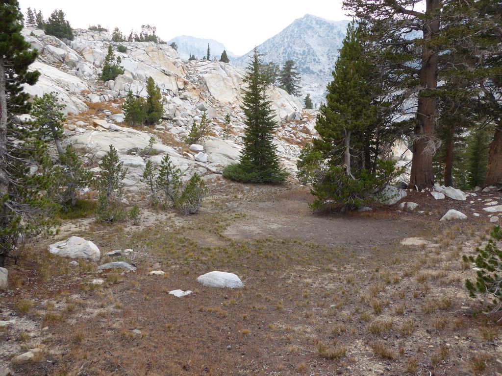
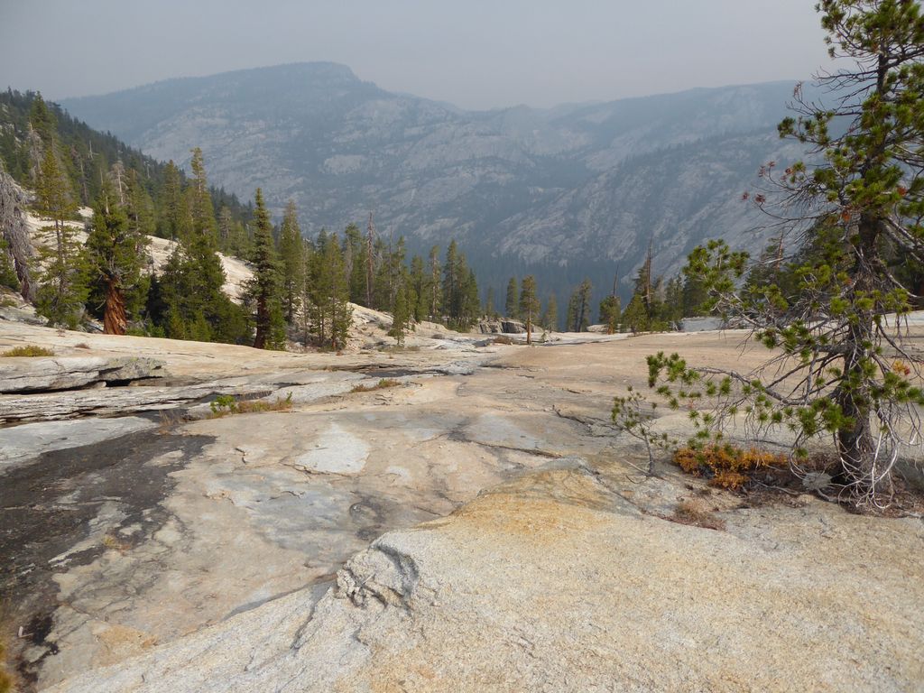
After the initial slog through the dense forest (I was peeling back branches for about two or three-hundred meters), things
opened up a bit. In fact, the rest of the way up to Obelisk Lake was very forgiving. I was following the dry stream-bed for awhile, and then found myself climbing up some large
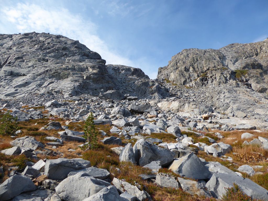
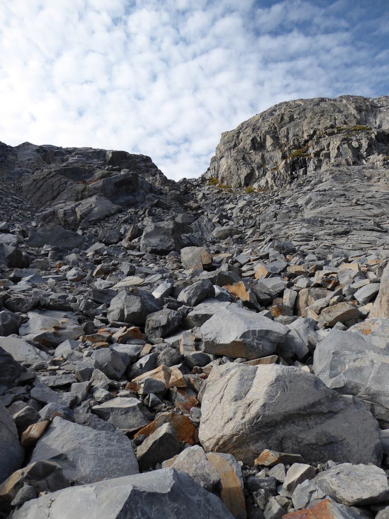
boulder fields. When I had gained several hundred feet, this all changed and the terrain was composed of
huge granite ramps.
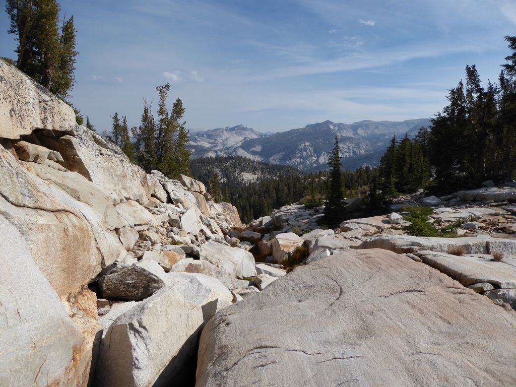
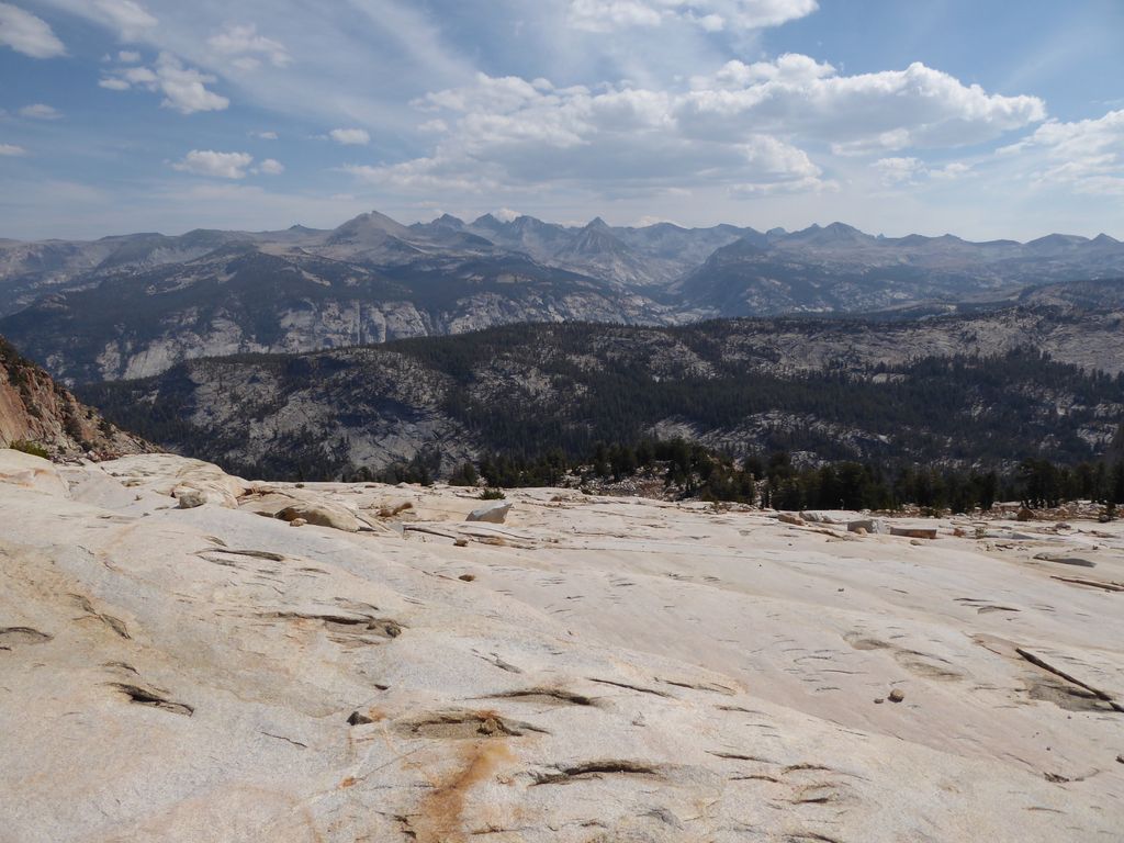
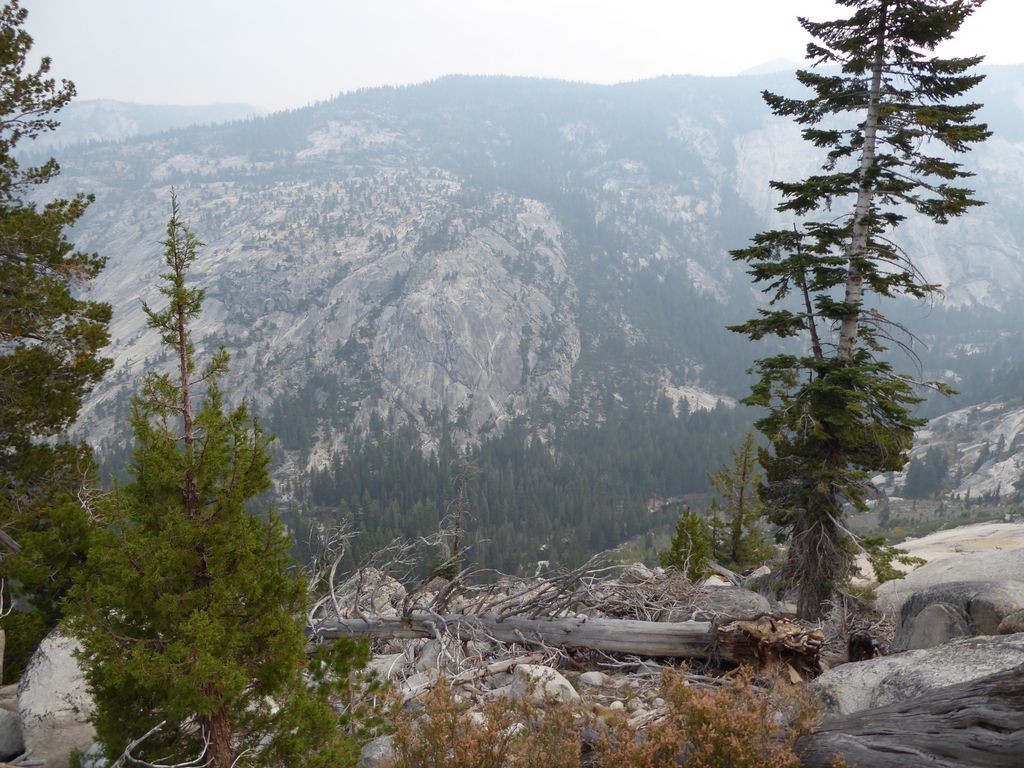
I took a brief pause to admire the views back to
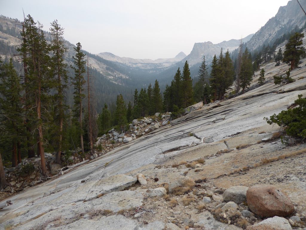
the south, which were very impressive. But at the same time, the view from
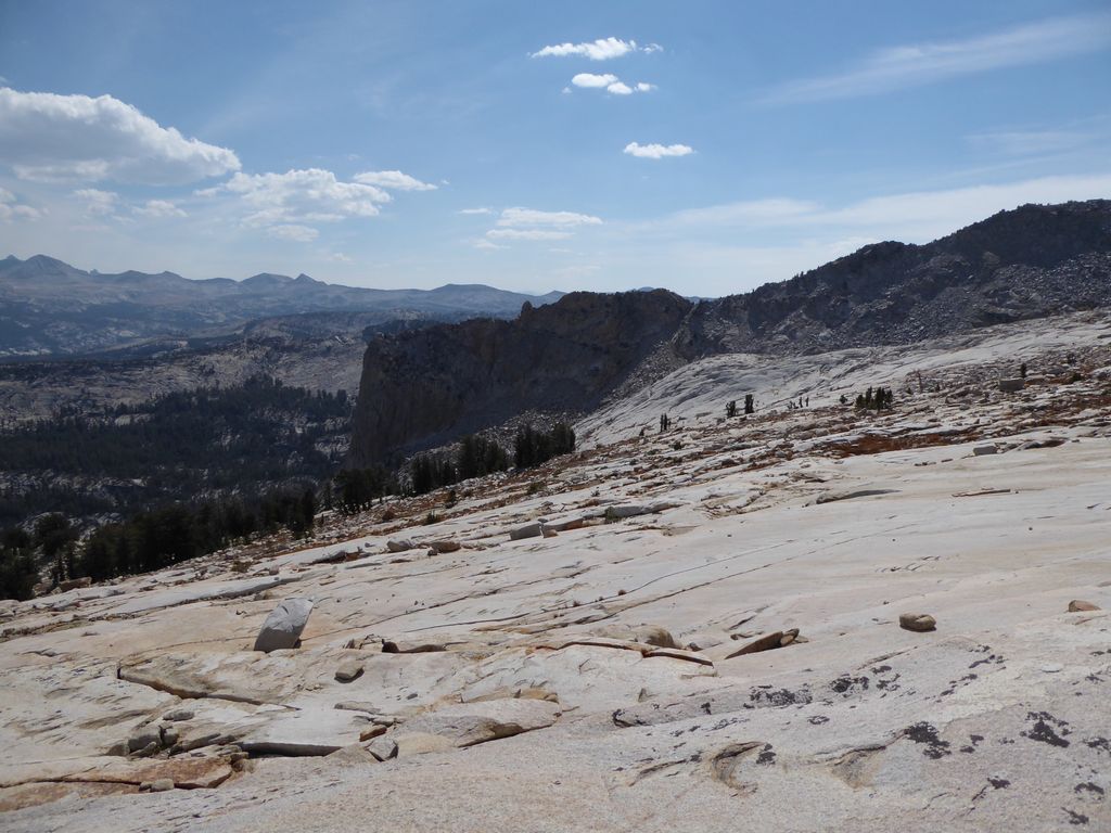
where I came was just intimidating. The granite was so steep that I really would not feel comfortable doing a descent the same way I came up. Not sure if the picture will do it justice, but trust me, it's steep.
At around 9,000 ft. the ground flattens out considerably. When I got to this point, I took a break and admired the
view to the east. When I got going again, my one mission was to find water. I was hoping that when I turned south I would find some pools or a stream. But when this moment came, all I saw was
dirt where there should have been water.
But I kept powering through. I was fairly certain that I'd have to go all the way to Obelisk Lake to get water, and so that's what I had my sights set on. I'd get there with about 15 minutes of twilight left. But as I was doing this calculation in my head, I was greeted with the sweet, sweet sound of flowing water. I had finally found a tiny (and I mean tiny) stream. It was at about 9500 ft. elevation, less than a half-mile from Obelisk Lake (I included the word "Water" in the waypoint title).
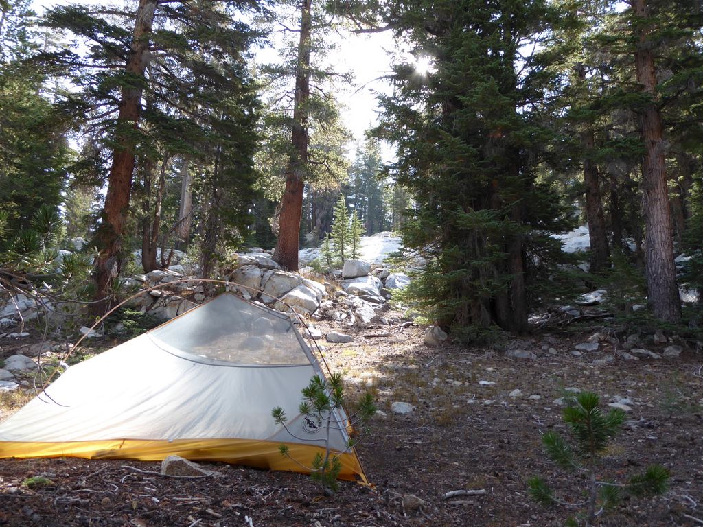
I quickly set up camp, got some water, and started to make my dinner. It had been a long, strenuous day, but now I could relax. Or so I thought.
When I pulled my headlamp out of my backpack, I found that it no longer worked. Later on during the trip I would take it apart and try to find any electrical contacts that might be shorted or open, but I would have no luck. As far as I could tell, it was a failure of one of the integrated circuits on the board. So the lesson I learned was that the more complex your headlamp is, the more that can go wrong.
With a new moon, the rest of my night (and the nights after) would be illuminated only by fire and a tiny Swiss-Army knife LED.
I slept in a bit on the third day. My plan was to spend the entire day exploring Obelisk Lake, and since I was only a half a mile away, I figured I'd have more than enough time. Part of me wanted to try climbing some of the surrounding peaks or walls, but part of me also didn't want to risk breaking an ankle or busting my knee.
Leaving my tent and most of my belongings at my
camp, I set out towards Obelisk Lake. Within a minute or so, the ground around me turned from flat dirt into scores of
large rocks stacked on top of each other. And in some sections, I was delighted to see very smooth
gradual ramps of granite that made walking pleasant. With a few hundred feet of elevation gained, I took a look
to the north and saw a whole new set of peaks that were hidden from me previously.
The only tricky part of the last half mile to Obelisk Lake was this one
gully that cuts through the terrain. At some point, I had to descend from its west side to its east side. It wasn't risky or anything like that, but it just took a bit of trial and error to find an easy way down.
I was completely elated when I finally got to the flat stretch of meadow just to the
tiny meadow just to the west of Obelisk. I had been waiting for this moment for a very long time, and I can't tell you how good it felt to finally be on the verge of seeing the lake.
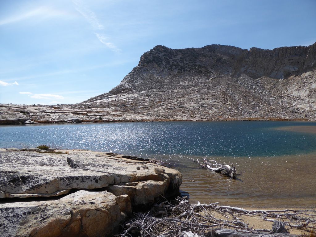
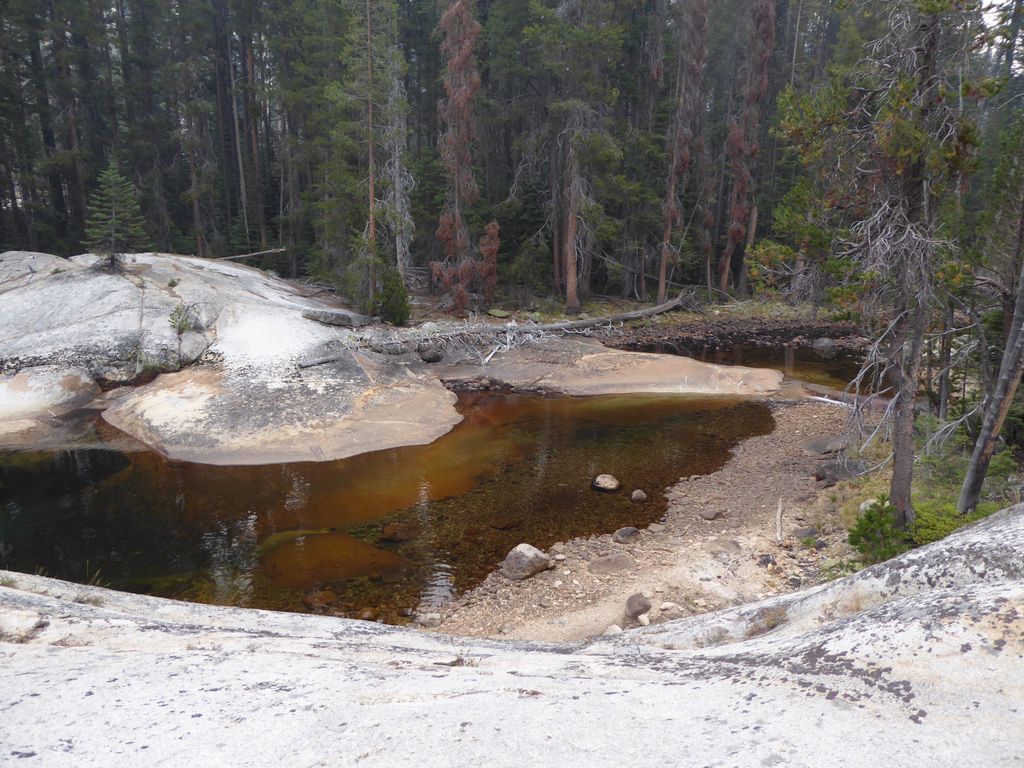
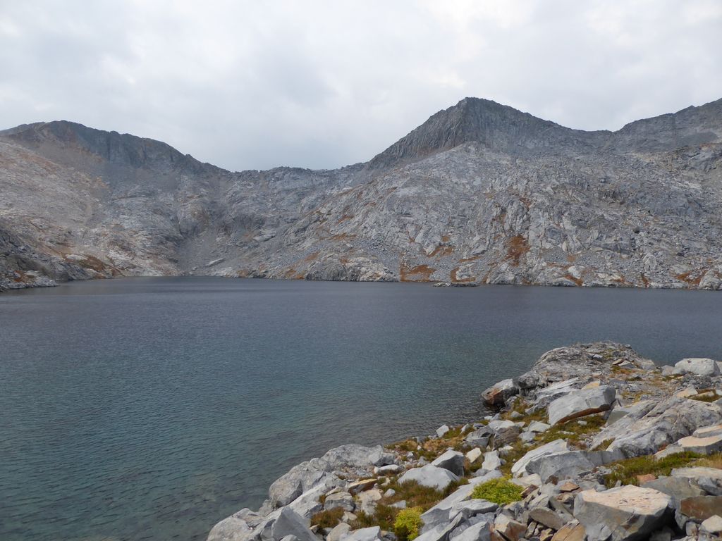
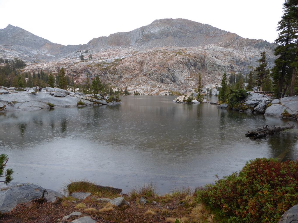
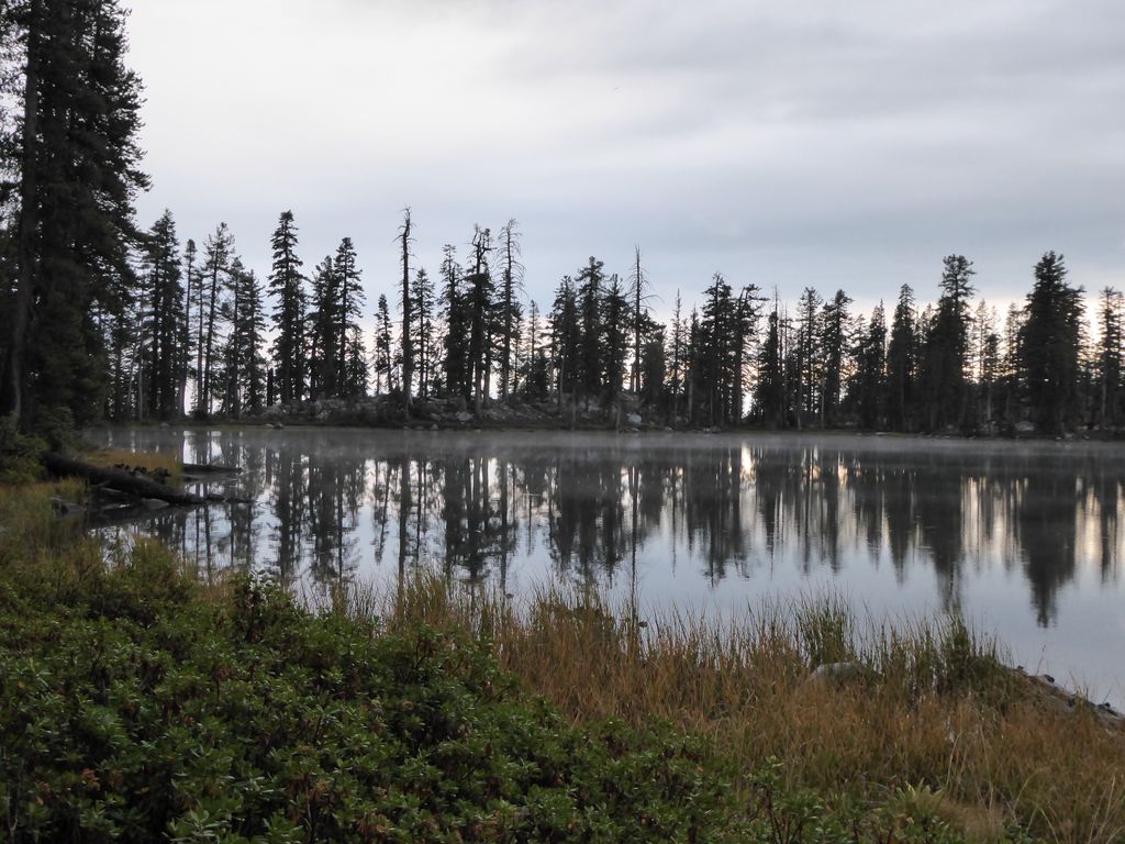
A few hundred paces more, and I was staring directly at the beautiful
emerald surface of Obelisk Lake. As I said before, I had read a report that gave Obelisk Lake a 2/5 for scenery. Couldn't disagree more. The
incredible spine to the south and the
picturesque opening to the north had me staring in awe for at least ten minutes as I rested comfortably on the shore.
I must say this. Obelisk Lake would be an incredible place to camp. Just to the west are some terrific,
flat patches of ground for tents and a campfire (although against park regulations).
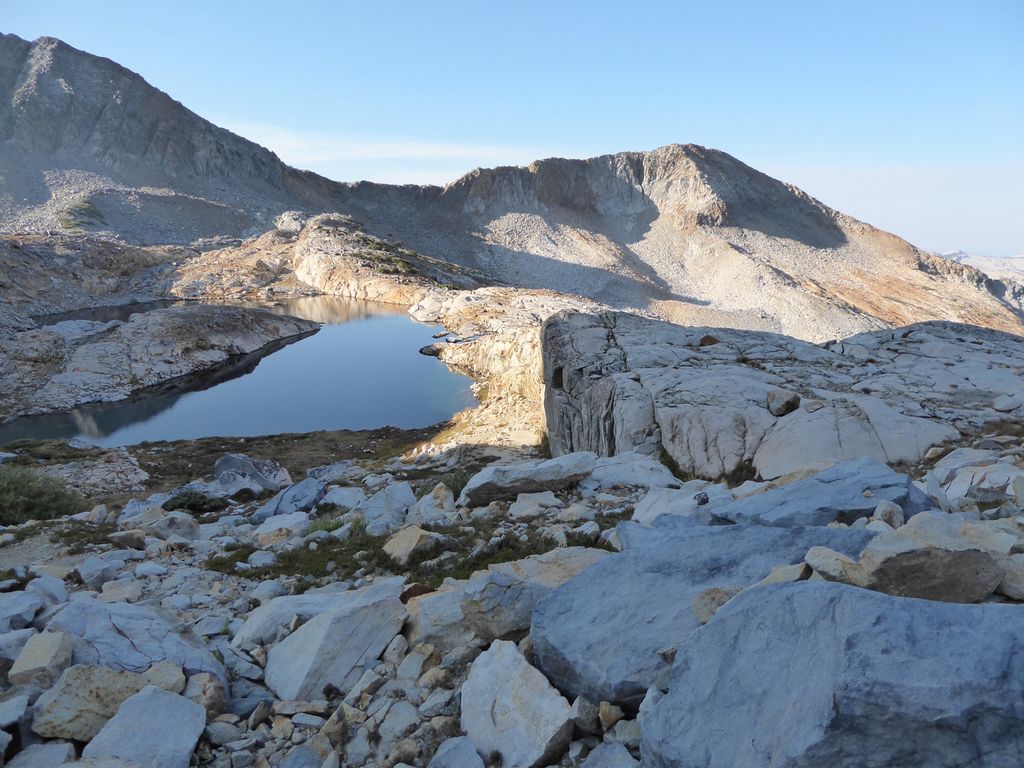
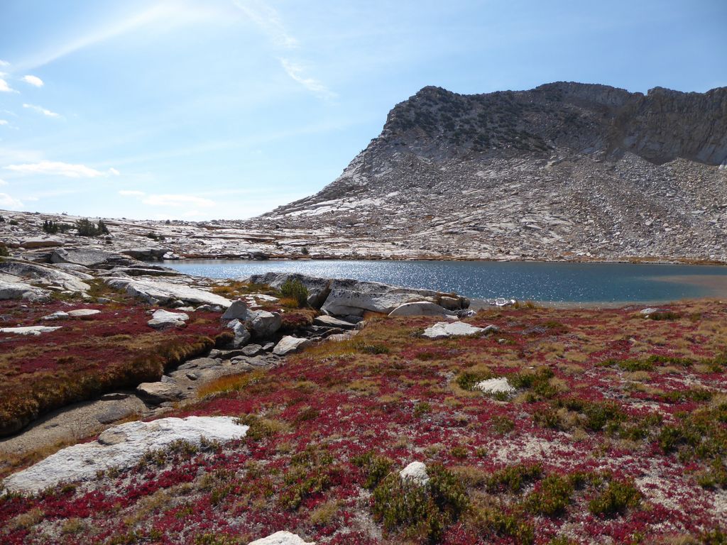
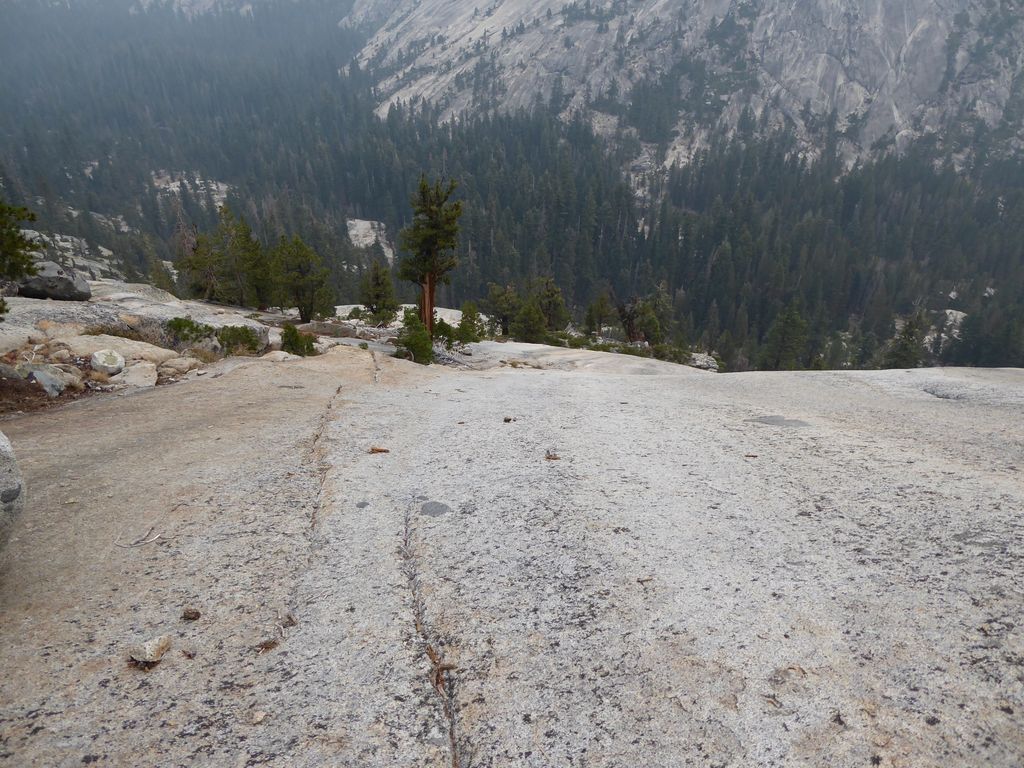
I still wanted to get a look at the unnamed lake to the southwest, so I got my butt in gear once again. The route up is
extremely obvious and easy. And as usual, with a bit thinner air comes
improved views in the opposite direction. I was fairly certain I could make out Vogelsang Peak, but most of the other ones were unfamiliar to me. I still haven't explored the central, eastern side of Yosemite yet.
I think one of my personal favorite things about Obelisk Lake was the
arrow-shaped peaks hovering above it. Those
formations of rock just seem surreal to me.
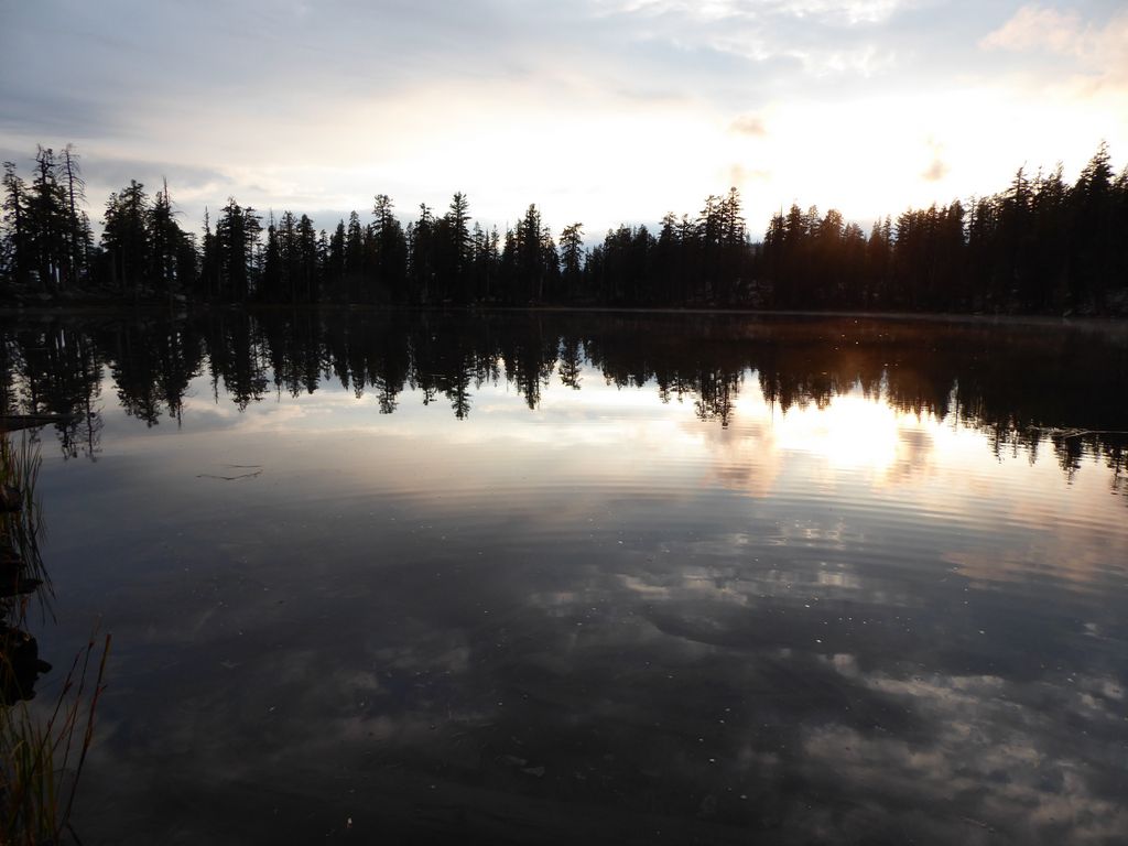
When I had finally finished the short climb up to the lake, I found another bone-dry
stream. But this time, I was not disappointed. The
lake I was staring at was perhaps even more impressive than Obelisk. And the
southeastern shore was simply magnificent. It seemed like if I headed that way, I might be approaching the end of the Earth.
Again, here was this alpine lake in the Sierras that has a pristine,
sandy shore. I just felt like that defied most of my experience with the rocky alpine lakes that dot the Sierras.
When I finally sat down for a snack, I started studying the
ridge to the west. I had been contemplating trying to cross over it and make my way through Clark Canyon. It looked like it was doable. Maybe a bit hairy, but doable. And from my topo map, it looked like the opposite side would have a similar gradient. In the end, though, I decided to go with what seemed to be the safer option of taking the Old Cavalry trail down to the Merced.
Once I had finished a snack, I decided I'd explore a bit around the lake. It was trivial getting around the southern tip of the lake and out onto the impressively
flat shelf on the east. When I looked
further south, I was briefly lured into thinking it would be easy to get down to the Grey Peak Fork that way. But the topo map took that illusion away. Lower down, things get very steep this way.
Equally impressive to me was the jagged
knife-edge of rock (the Obelisk?), as viewed another angle. And once again, I wish I had more familiarity with the eastern territory of Yosemite because there were no shortage of
peaks showing themselves.
This was the extent of my exploration for the day. I decided to go with lazy side and just relax for the rest of the afternoon. So after heading back down to Obelisk Lake, I took a refreshing swim/bath and ate lunch on the shore. While drying off, the sun began to disappear behind a thick bank of clouds, and I started to get the feeling that rain was coming. Within an hour of this premonition, I was back at my camp.
It turns out the rain never came that day. But I was glad I did get back to camp because it was nice to take an afternoon nap in my tent. Wouldn't ya know it, though? A fiesty little woodpecker decided to be my alarm clock 45 minutes later.
The rest of my day was filled with trying to fix my broken headlamp, tying some new knots I was trying to learn, and eating a fabulous dinner of beef jerky, rice, and tortillas. Hmmmm...nothing better.
This day started off with some significant apprehension. There were two things troubling me. One was the thick wall of forest I had to battle through to get where I was. The other was the descent I needed to make down to Merced River. The reports I had read did not specify which side of the Grey Peak Fork to take, I knew I'd have to bushwhack, and the topo map did not make it look easy at all.
It turns out the first part of my fears was completely unwarranted. Instead of following the path I had taken along the stream down from Obelisk Lake, I chose to try and short-cut things by traveling in a north-east direction. This proved to be a great move since most of the way I was treated to
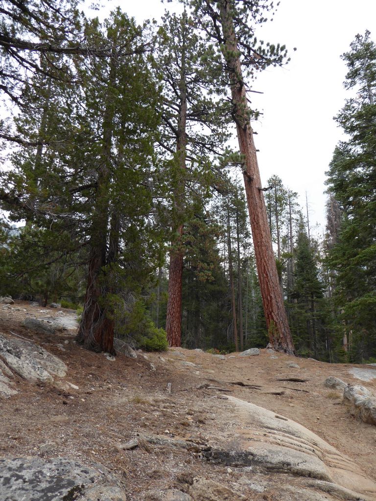
rolling slopes of granite. There were sections where I had to make mini-switchbacks because of how steep it was, and near the end it got a little dicey with vegetation. But for the most part it was clear sailing through
open forest and over
clearings.
Even thought the descent so far had not been difficult, I was still relieved to finally see signs of The
Grey Peak Fork. It meant I was one step closer to being in the safe clutches of an established trail. When I got right next to it, I saw about five trout dart underneath a shelf of rock and into the shadows. So just for fun, I decided to see if I could spook them out of hiding by reaching down to where they were hiding. It turns out I could only get one of them to come out. My impression from this is that the old expression of shooting fish in a barrell might not be appropriate.
Leaving this tranquil pool, I started to descend along the open
granite banks of the stream. Still smooth sailing up to this point. Still easy to cross from one side of the stream to the other. That would quickly change.
As predicted by the dense contour lines on the topo map, things got very steep, very fast. I studied the topo map for a bit and concluded that staying to the east side would be the best way to go. My guess was that there would be a chasm cut by the stream that wouldn't be crossable at some point, so I wanted to at least make an informed decision.
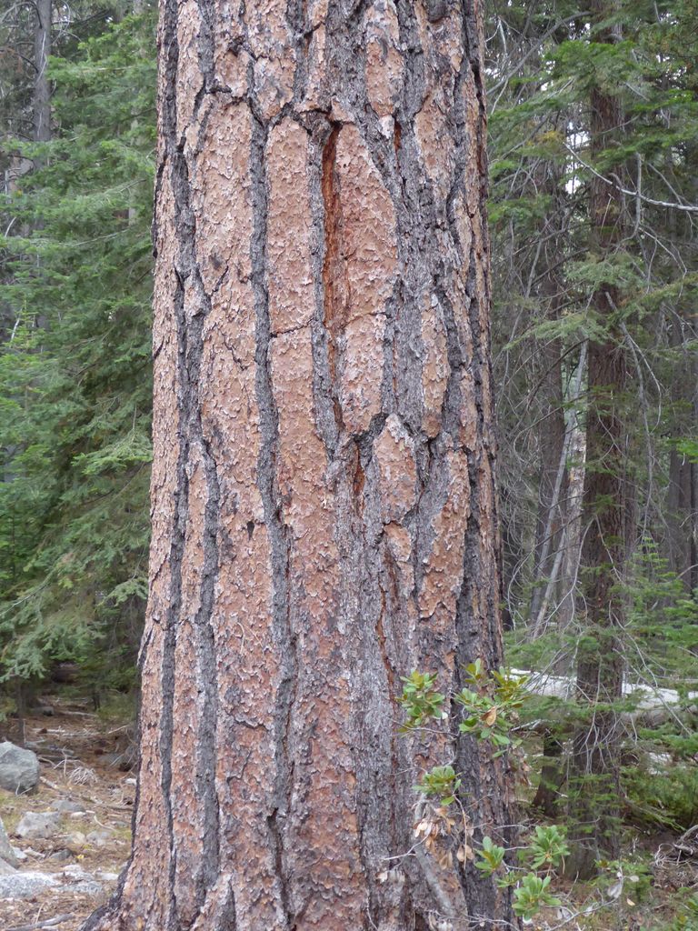
At first things were great. I came across a super cool
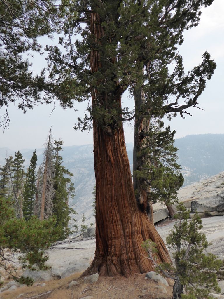
red fir tree. And for some reason, I really took notice of its bark. It actually looked like
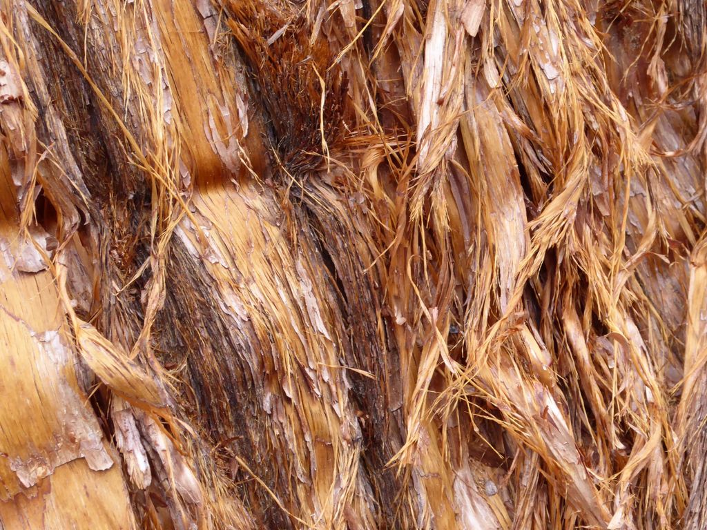
fur to me, which I thought was pretty funny.
At this point, I distinctly remember thinking, "Boy, those guys who said going up this Cavalry Trail was some nasty bushwhacking are way off." There were some shrubs and old logs, but primarily it was
tricky rocks and
old fallen trees that were the problem.
I was pretty convinced I was seeing old remnants of human footprints, so my confidence was pretty high as I continued to go down. Things got really
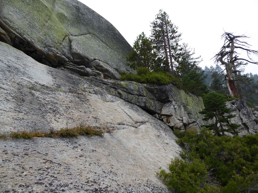
steep at times, but there was always a "safe path" to follow. The bushwhacking picked up quite a bit, but it was still not risky territory. That is until I got down to about 7600 feet or so.
At this elevation, there isn't much choice but to creep back toward the
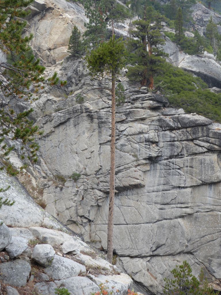
sharp chasm of the Grey Peak Fork. And right around that tall, skinny tree, the land basically presents you with three options. The first is to try to stay right along the chasm. This way would require hopping from tiny slabs of rock protruding from the chasm walls (the best comparison I have is the video game Tomb Raider). The second option is to head further east and try to "Spider-Man" it along a
granite face, where if you fall, you've broken at least a bone or two. The third option is to anchor some rope to a tree and scale down the middle of the
granite wall.
I chose to go with the third option, and I was lucky that I had enough rope to get me down. Now, maybe I missed something and there is some really easy (hidden) route down. But I spent a good amount of time exploring options and that's the best I could come up with. That wall doesn't look that steep, but I promise you that you're not walking up or down it without hanging on to something (unless you really are Spider-Man).
I didn't have any real worries about using claiming the rope after I had descended because I could see the terrain flatten out just below me. But even so, when I finally got to the
"semi-flat" area, I took a moment to pause and thank my lucky stars that I had made it down from that
cliff in one piece.
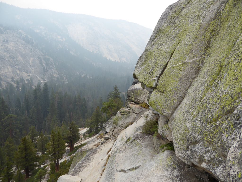
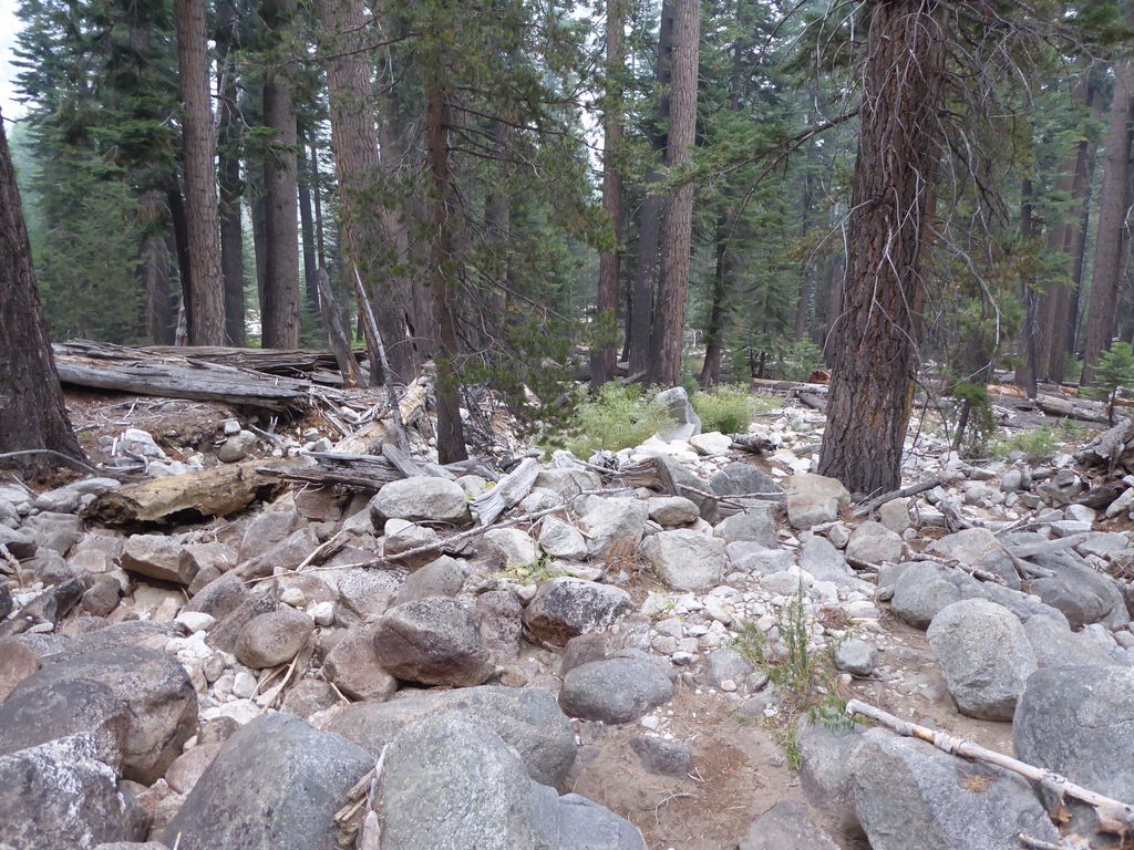
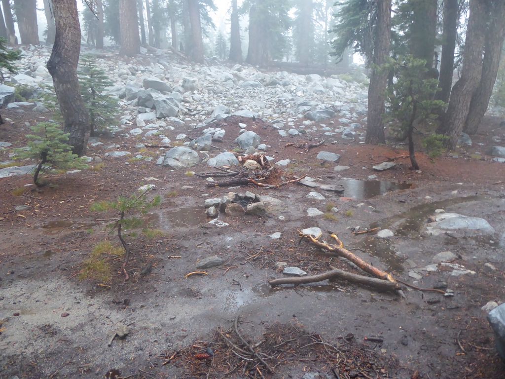
The area between that cliff and the Merced River looked like a battleground. A place where a war had just been fought between
the trees. Every six feet I was stepping up and over a three-foot diameter log. I also came across some fresh bear tracks, so I spent the next few minutes shouting warnings to any hidden bears.
I was so incredibly relieved to see the
(very low)
Merced River. Not only did I feel safe, but I could wash off the dirt and scratches and bark that had just accumulated on my body after some nasty, nasty bushwacking (yes, I was completely wrong to doubt the reports I had read). I took a long break to fill up on water, eat a snack, and savor the feeling of being done with that wild descent. It began to rain as I was doing so, but it wasn't anything close to a downpour. Actually felt very pleasant.
Crossing the Merced River was obviously a piece of cake due to the ridiculously low level it was at. I had read that this could be a challenge during spring and summer, but if you're doing the trip in the late summer or early fall, I'd imagine you won't have a problem. On the other side of the river, I only had to walk a few hundred yards before I stumbled upon the welcome sight of
the trail.
I hadn't seen a person in three days, but within five minutes of getting on that worn path, that changed. I ran into these two German guys who were incredibly friendly. Told me that they had made it all the way from Yosemite Valley, explored the area south of Washburn Lake, and were headed out to Tuolumne Meadows. I told them where I had just come from and they seemed completely shocked and intrigued by what I described. A great first conversation. Made me happy.
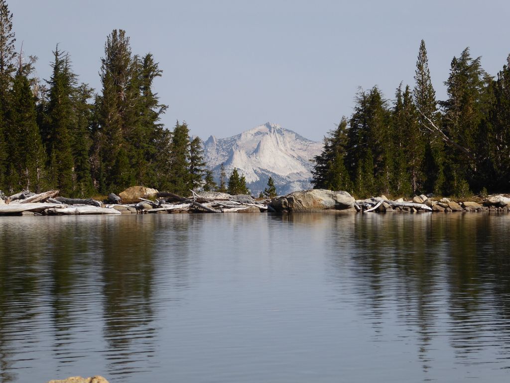
The
trail to Washburn Lake was downright pleasant. Very gradual, nicely sculpted. When I finally got to
Washburn Lake the forest fire smoke had really set in during the day, and the

views were not so
splendid .
Despite the clouds and the rain, the temperature was still pretty high, so I took a dip in the lake to cool off. Washburn Lake was really beautiful, but not exactly an ideal swimming lake. While the shore was somewhat sandy, the depth doesn't drop off quickly at all. And since it's a pretty sludgy, slimy bottom, when I did get deep enough to submerge, I was quickly surrounded by a cloud of stirred-up debris. Still, it felt good to get wet.
I ate lunch, took a quick catnap, and then got going again. I tripped a bit while walking, as my attention was pretty well fixed on the impressive
granite spires to my left. On this section of trail from Washburn Lake to the Merced Peak Fork, the
trees are just magnificent. Huge
sugar pines and fantastic
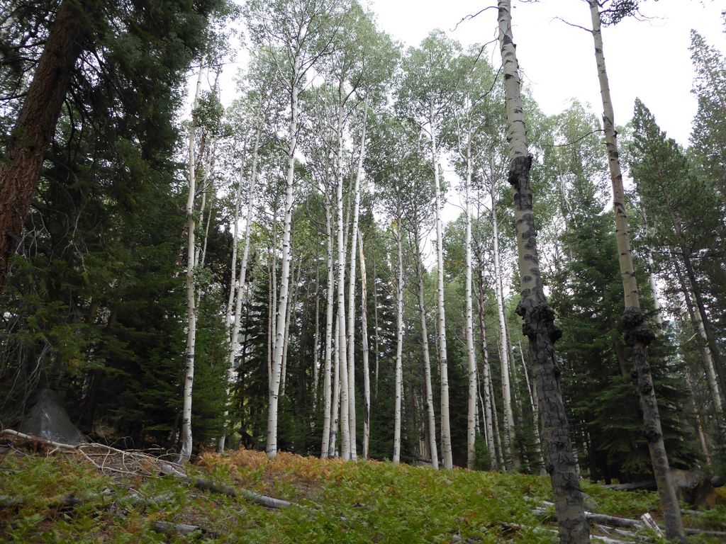
aspen groves seem like they pop up around every bend.
When the trail crosses the Merced River, it starts to climb
gradually at first, but then rapidly thereafter. When I reached the point at around 8200 ft. where the switchbacks begin, I started to see some lightning and hear some intense thunder. It was about five seconds away, so that meant it was still about 1700 meters away (sorry for the mixing of units, but as a physics guy, I'm used to measuring the speed of sound at 340 m/s). While going up the
switchbacks , I saw a number of caves that seemed like they'd be good shelter if the
storm started to draw closer. But luckily, the time between the lightning and thunder continued to grow. I only got rained on a bit.
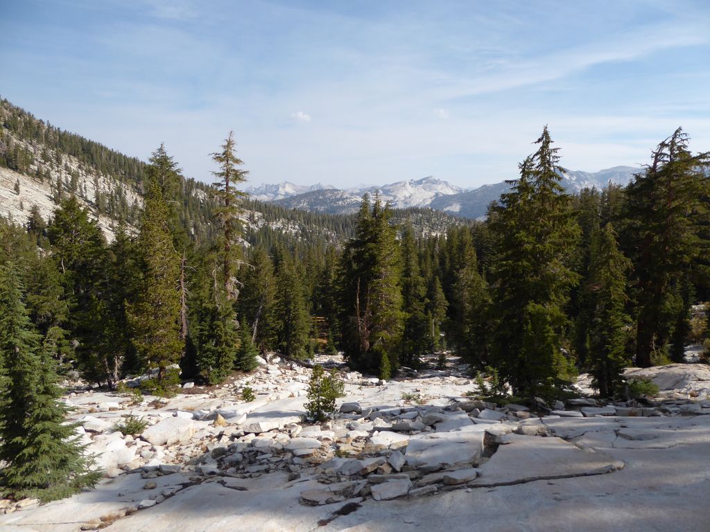
When the trail stops climbing, things get a bit less dramatic. The valley along the Triple Peak Fork is a very broad, U-shaped valley consisting of a
large meadow around the central stream. I am guessing I would have found it much more satisfying if there were water in the stream, but it was about as dry as a river delta on Mars most of the way.
I let out a sigh of relief when I got to the
trail junction. My feet were starting to feel the long day of walking. To be honest, if there were water flowing in the Triple Peak Fork, I would have probably just hung my boots up right there and then. But it looked like I wouldn't see any H20 until I got back to the Merced Peak Fork (the trail wraps around to the adjacent valley of the Merced Peak Fork since going straight up it would be insanely steep).
The climbing after the junction wasn't that bad. The trail does some switchbacks, but nothing super steep. I thought the part between the junction and the Merced Peak was cool. The
wall of rocks at 9600 feet stood out in my mind for some reason. There was also some nice
red heather just after getting over that wall.
When I finally arrived at the Merced Peak Fork, I was completely delighted to see flowing water. I headed north along the stream since I wanted to get below 9600 ft. and light a fire. There were quite a few good
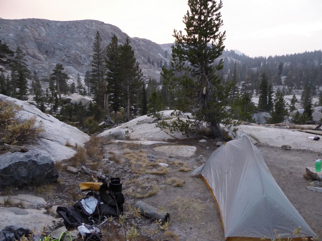
spots to camp in this area. While setting up my tent, I enjoyed a
dream-like sky around the setting sun.
It turned out to be a pretty good campsite. Easy access to water, flat ground, protection from the wind...the only thing lacking was available wood, which turned out to take a long time to collect. After I had a nice fire going, I ate a wonderful dinner of beef jerky, rice, tortillas, and protein bars. I even wrapped the beef jerky in the tortillas and it felt like I was eating tacos. Julia Childs would have been proud.
The next morning was just about as pleasant as one could imagine. There were still some clouds in the sky (and some smoke), but the color of blue was the overwhelming feature. My plan for the day was to check out Edna Lake for a bit and then join back up with the trail to make my way over Red Peak Pass.
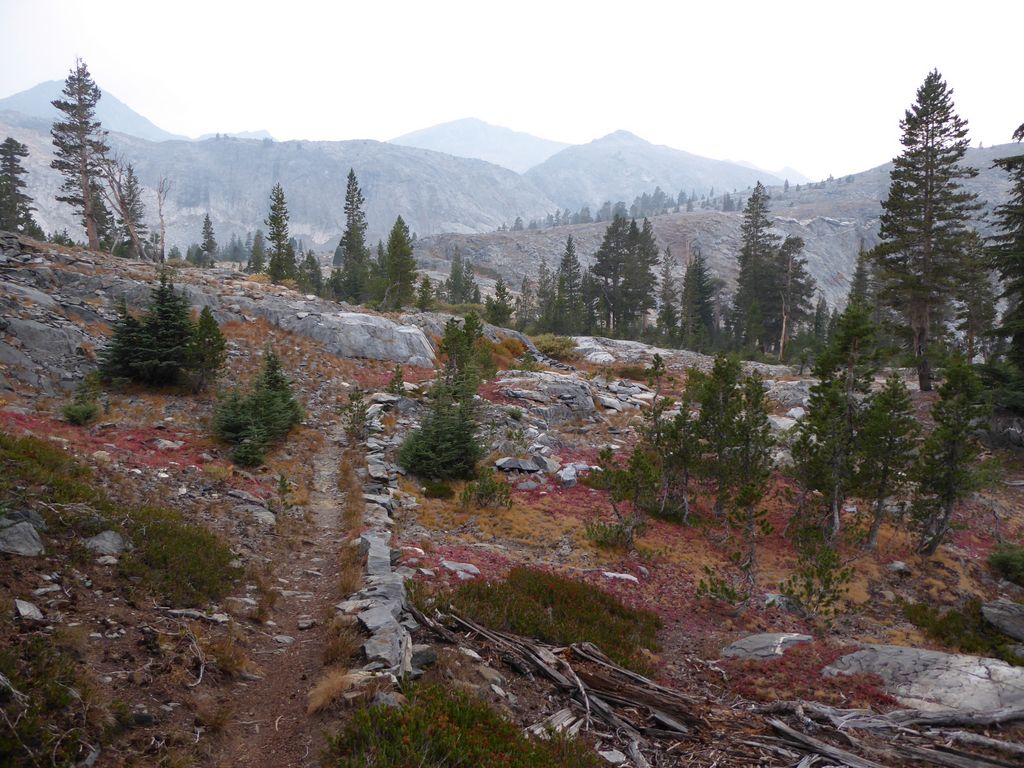
The first part of the trip up to Edna Lake was easy going: cross-country over granite and dirt and
red heather. It's also pretty obvious as to which way is the easiest.
From the topo map, I knew there would be a decently steep climb up to Edna. But when I finally got to the base of that slope, it actually looked a lot
steeper than I had pictured. This is actually a more
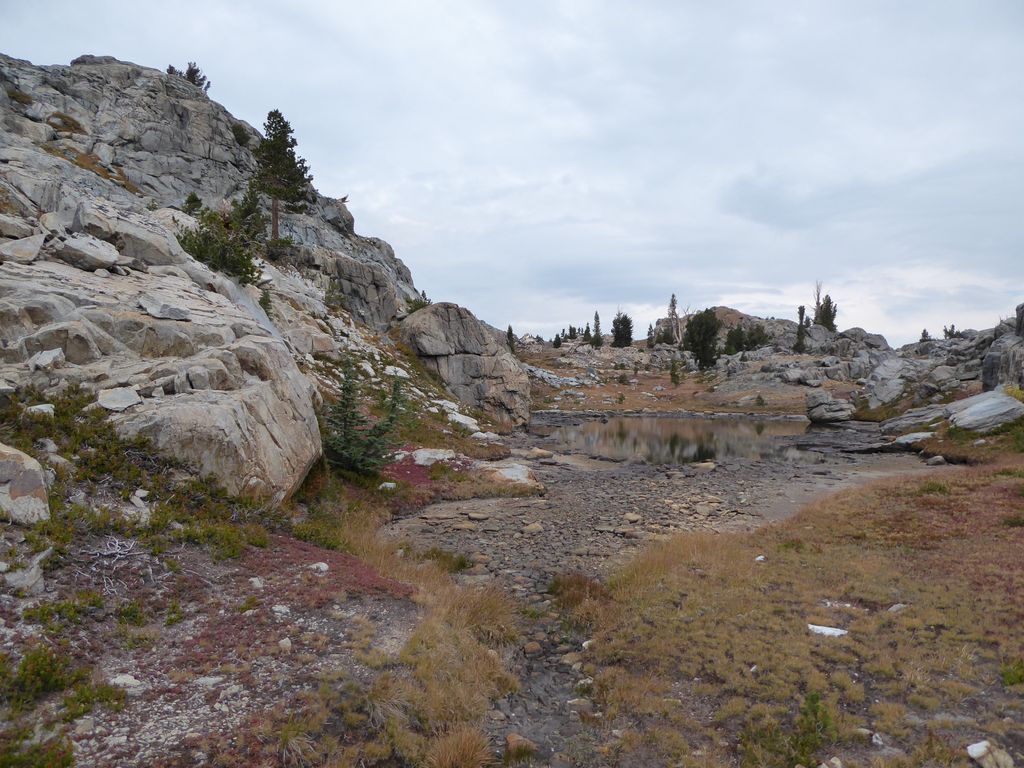
representative shot. I took a break at the small
lake to size things up.
The way up didn't look too dangerous, but it did look intense enough to make me take my precious time climbing up. At first it was a bunch of large boulders on flat ground, but as I ascended it became a collection of loose rocks of all sizes. I moved very slowly, testing every rock no matter how stable it looked. Half way up, I took a stop to appreciate the view back towards
where I came from. I'm not sure what "class" I would categorize this particular slope as, but it's probably somewhere between class 2 and class 3. The good news is that there aren't any patches of scree where you could easily lose your footing. Everything is solid if you take your time to choose the best route.
Edna Lake was incredible. A
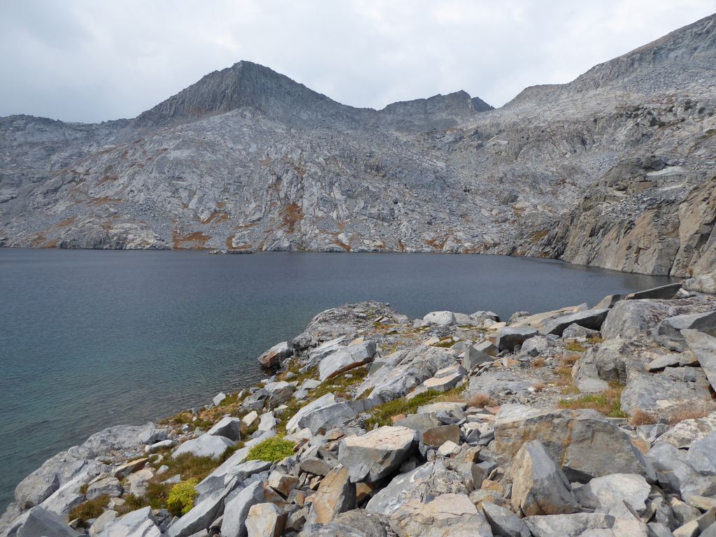
huge body of
deep blue water surrounded by an impressive bowl of rock. I really wanted to take my time and enjoy a rest along the shore, but the sky was starting to get pretty dark and I had a good feeling rain was on its way. I wanted to get down that steep slope before it hit, so I quickly got going back down.
Even with the impending storm looming to the south, I still took my time going down the steep field of boulders. I would rather be very wet and uncomfortable than have scraped up knees or worse. After getting back to the small lake below Edna, I circled around the northeastern shore and embarked on my climb up to the northwest. The path of least resistance looked fairly obvious on the map, but it turned out it wasn't so simple.
I started cutting straight north along some
easy slopes, but then when I tried to go west I hit some tiny little gullies that forced me to backtrack south. There are some very nice
flat sections on the way back to the trail going to Red Peak Pass. I also went past a cool
little pond.
This is a view directly back along the path I took showing what the terrain looks like.
I gained about 200 feet or so before I began descending to the northwest to a series of
little pools, and eventually I picked up the trail again. Getting back down to the trail was not tough at all; it's pretty easy to see the terrain well ahead of you here.
At almost the same exact time I joined up with the trail, it began to rain. My trip up to Red Peak Pass was cold and wet. On the way up I came across a really nice Asian guy who had just started out his trip. During our conversation he asked me if there was any water ahead of him. I was like, "Yup, there are plenty of little pools just ahead of you". But after we finished talking and I passed a number of similar pools I was beggining to wonder what he was envisioning as a "water source". Hope he brought some form of treatment.
At the top of
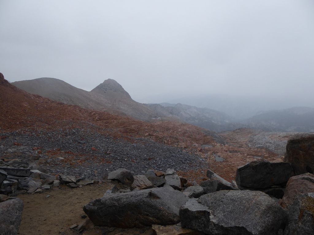
Red Peak Pass the rain gradually turned into sleet and snow. I took a very short break to drink some water, but the conditions were so bad that I just wanted to get down.
Getting back down to Lower Ottoway Lake was hairy. The switchbacks weren't so bad because of all the dirt, but once I reached the slowly sloping granite past Upper Ottoway Lake, the rocks were very slippery. Almost ate it a few times.
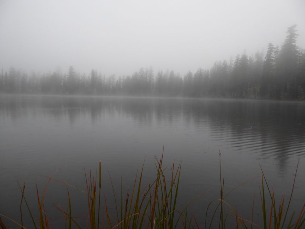
It was about 13:00 when I reached the shore of
Lower Ottoway Lake and it was still raining hard. I found a large pine tree that offered some shelter and fired up my stove to heat up a bit. I didn't bring rain pants because the forecast had looked so good before I left, so now my whole lower section was soaked. The stove worked slowly but surely, although it wasn't fun constantly having to worry about it burning my crotch.
With my lunch finished, I waited a bit longer in the hopes that the rain would subside. But it just kept coming. So I got going. I saw a ton of people making their way up to Lower Ottoway Lake. At Merced Pass I saw one group that was about 14 people deep.
With the rain clearing all the smoke out of the air, the view back to
Mount Starr King was pretty phenomenal. The unfortunate thing was that the remainder of my hike would be through portions of trail that had very little to offer in terms of views.
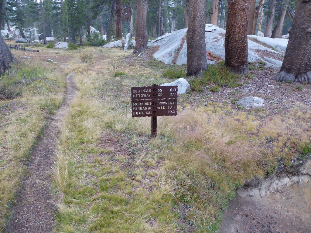
I had a decision to make about where I was going to spend the night. I decided that I'd give Givens Lake a shot since it meant I would only see a few miles of trail that I'd already covered. So when I got to the junction between Morraine Meadows and Buck Camp, I headed toward Buck Camp.
The trail between the junction and the (trail-less) turn-off to Givens Lake was pleasant. I worked up a small sweat climbing the few hundred feet up, but it was nothing like the ascents I had done earlier in the day. When I got close enough to Givens Lake, I was surprised to see that my GPS topo map (Garmin 2008) said there was an established trail that cut off to the west to bring you there. My paper map showed no such trail. Unfortunately, the paper map was right.
It was just a little under a mile of walking to get from the trail to the lake. When I first started this short trip, I was delighted by how easy the
terrain is. Open forest and flat stretches of dirt. But about a half a mile into it, my sentiment changed. I saw some very large bear tracks in the dirt and they looked fresh.
Now, in the past this wouldn't have freaked me out too much. I've come face to face with a lot of very shy black bears before and none of them had moved even a foot in my direction after seeing me. The problem this time was that I had just watched the movie Backcountry, and I had a deep, newfound apprehension for (killer) black bears. I spent the remainder of the way to the lake shouting very loudly in all directions to try and shoo away and bears in the area.
The sight of
Givens Lake was a very welcome one. It was pretty much what I was expecting, with a
grassy, marshy shore that would make getting water a bit more painful than I was used to on this trip. I took awhile to choose my campsite. There was an existing firepit with some flat ground surrounding it, but I wasn't going to contradict the advice I've been given about putting my tent far away from my cooksite. About 150 feet north of the firepit, there was another flat patch of ground that I ended up using. It was also a tad higher than the surrounding floor, which was a good thing in light of the fact that it looked like more rain was coming shortly.
After getting my tent all set up, I headed to the lake to fill up my water bottles. The
lake looked so incredibly
beautiful with the reflection of the setting sun peering through the clouds.
I really wanted a fire. It had been a cold, wet day, and I would knew the night would be pretty miserable if I didn't get one. I started off with a lot of optimism after seeing that there were plenty of piles of pine needles and twigs underneath large pine trees that looked dry. But my optimism was unwarranted. The tinder was deceivingly damp. I had pieces of paper in my pocket that I tried burning, but those were damp as well.
After nearly ten minutes of trying to light pine needles and wet paper I ran over to my bag to look for anything I could burn. While digging through I came upon an item that I bring along on every trip but had never used: waterproof matches. I broke them out and saw I had a total of 12. The first few ignited a bit of the kindling but no sustained burn. I decided to go all in just light one after one and place them in the firepit. Thank goodness it finally worked.
Of course, all the surrounding wood was soaked, so my fire wasn't anything spectacular. The best burning thing I could find were the low-lying branches on live lodgepoles surrounding the firepit. Always a trusty backup the lodgepoles are.
While drinking some tea after my dinner, the rain come back slowly. I started putting things away hastily and got everything in order quickly. The real problem was that I only had my little Swiss Army LED, so finding my tent 150 feet away was not a trivial task. I was lucky I still had a glow from the fire to orient myself. The tent eventually presented itself in my search and I was off to bed in a night of unrelenting rain.
All night it rained. And I mean all night. Occasionally I would wake up when it got really intense. It eventually subsided around 530 in the morning or so, at which time I got up to answer nature's call. It was pretty funny, though, because as soon as I finished it came back like a monster. I laid in my tent for about an hour and a half just waiting for it to stop. Sure, I could have just packed everything up while it was still coming down, but I thought I'd give it at least an hour or so since I wasn't in any real rush to get out.
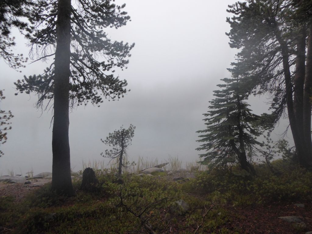
When it did stop temporarily, I got out of the tent and walked over to my cook site. I was glad I didn't set up my tent in the flat patch of ground next to the fire pit since it was now a
mini-swimming pool. There was still plenty of precipitation in the air and the
lake looked like something out of a John Carpenter movie.
I hastily packed up my things, futilely trying to dry them out before putting them in my pack. I had wanted to take a look to the southwest of Givens Lake since it looks like there is a nice drop off there, but the fog was killing the
visibility. So instead I skirted around the east side of the lake until I could break off on my way southeast. I didn't backtrack to the trail exactly, but I pretty much followed a parallel line with the way I had come.
The forest here was pretty
open, so I would say getting to and from Givens Lake isn't too much of a challenge if you're thinking about it. Finding the trail wasn't as easy as I had anticipated, though. Again, my Garmin Topo Map 2008 maps were off by a few hundred feet. I had to zig-zag a bit while I followed the general direction of the trail in order to pick it up. Once I did I felt another huge sense of relief knowing that all I had to do was follow it to get back to my car.
The rest of the hike back to my car was rather uneventful. My upper body was pretty dry, but my lower body was nicely soaked. I'd find out later that my hiking socks carried such a stench that ridding my feet of that same stench would take several hard-core scrubbings. It drizzled some of the way, and occasionally the blanket of fog would lift enough to provide a very pleasing
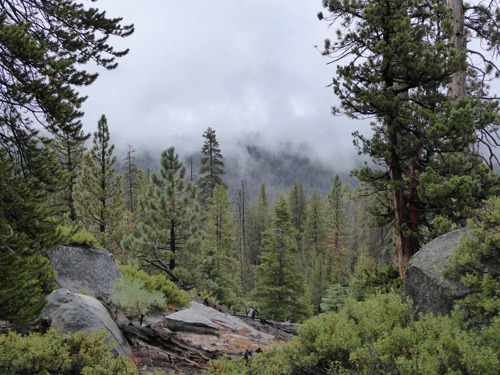
scene. Also, the backdrop of gray sky presented the most amazing contrast with the almost
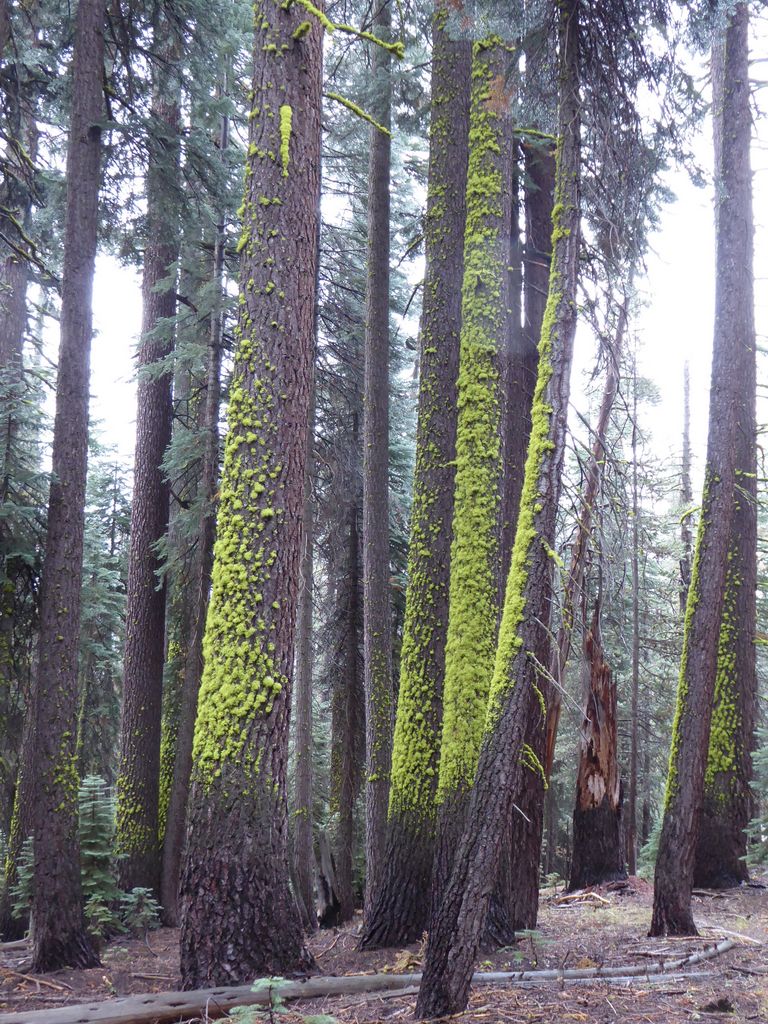
fluorescent green moss coating the pine trees. I had to stop and stare for a few minutes to convince myself it wasn't somehow being powered with electric current or something.
The trail down to Gravelly Ford is very pleasant. Just a nice steady downward slope. It flattens out when you reach the aptly named
Swamp Lake. This is followed by the also aptly named
Gravelly Ford. I can assure you it has plenty of gravel.
For some reason I had completely underestimated the amount of elevation gain to get up to Chiquito Pass. It's not that much; like 500 feet or so. But after doing that slog, I realized why they call it a "pass" (even if it's really more of a drop-off in one direction).
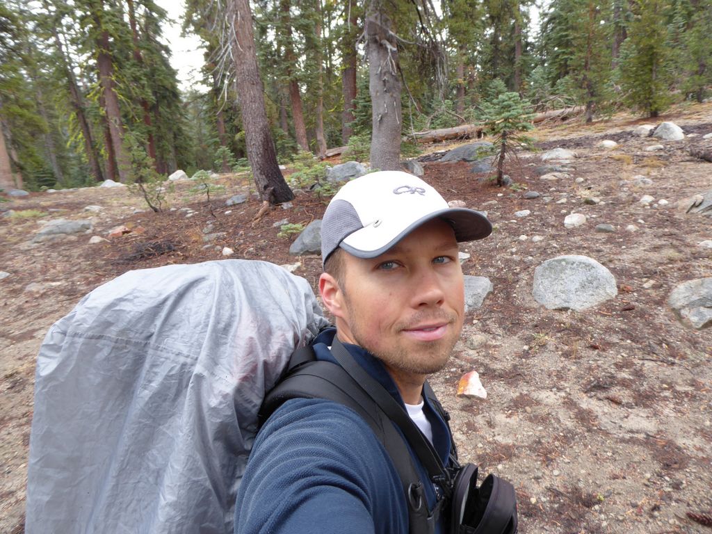
It felt really, really good to get back to the trailhead that day. All in all it was about 8 miles of hiking that took a little over 3 hours. I rarely take
selfies, but at this point I was just feeling so damn good that I wanted to capture the smile and look of relief on my face so I could remember it later. It felt incredible to cross Obelisk Lake off my list. I hope to make it back some day.