


TRIP DETAILS
TRAIL MAP
OVERVIEW
I've grown fond of doing a winter backpacking trip during the new year, and Death Valley is an ideal place to do it. The average daily temperature is perfect for hiking in shorts and short sleeves, the springs are full with water, and there aren't too many people out on the trails. Of course, just because I say that the springs are full of water doesn't mean water's easy to come by. On the 35 miles that I covered, I only came across one spring that supplied water for about a half a mile.
So water will be a little bit of a challenge on this route. There's one spring in Cottonwood Canyon that's about 5 miles from the mouth and supposedly there's another at the junction of Dead Horse and Marble Canyon. I couldn't tell you about the reliability of the last one since I steered off-course and wound up going down a slot canyon before I could reach it, as I'll explain later. But if you carry four liters in and fill up at the springs, you should be just fine.
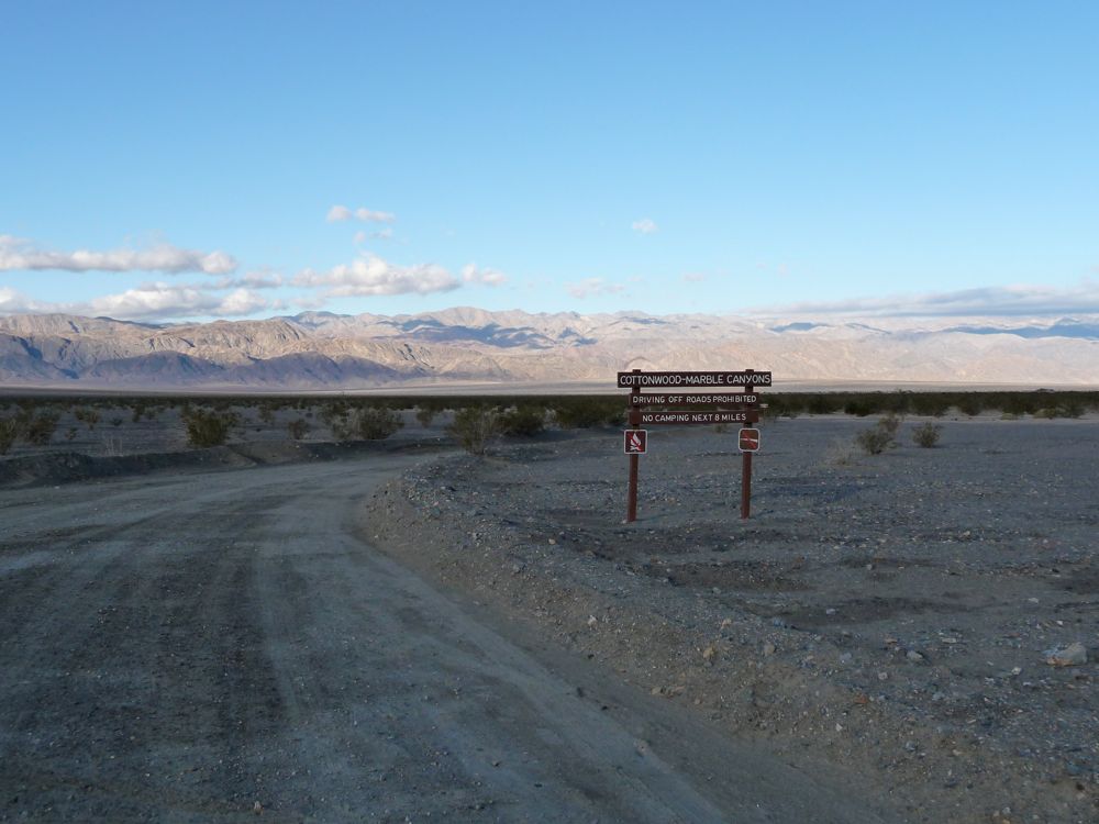
The trip that I'll describe starts at the Stovepipe Wells parking lot. This adds an extra four miles each way to the total distance, so if you're not into the extra mileage, you can drive and park at the mouth of the canyon. I probably would have done the same if the ranger I got my permit from hadn't told me I'd never be able to make it without four wheel drive. While I was walking the four miles I saw plenty of people driving along merrily in sedans. The road is sandy, but it's not too bad.
Also, I made the mistake of not paying close attention to my map after I crossed the pass at 4600 feet that should have brought me down into Dead Horse Canyon. There are several well established trails along this stretch that will take you into slot canyons where people have set up equipment for rappelling. If you don't navigate properly, you'll wind up in one of them like I did.
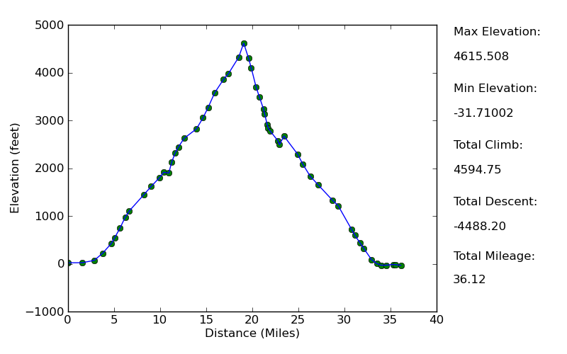
Elevation Profile
TRIP LOG
My trip began with a flight from Chicago to Las Vegas where my car was waiting, followed by a night spent at the Stovepipe Wells campground. I was hoping I'd be able to get a room at the hotel there, but they were all booked. So I ended up paying five or ten bucks to sleep in my tent on a bed of gravel at the Stovepipe Wells campground, which did an excellent job of reminding me how much I dislike car camping. Rumbling generators, dogs barking, kids crying: really brings out the feeling of being outdoors.
I did manage to get a few hours of shuteye, and when I woke up the next morning I made haste in downing some breakfast and getting all packed up for my trip. I left my car in the parking lot next to the convenience store and started hiking towards the airport. Like I was saying before, the first four miles weren't really necessary since I could've made it to the mouth of the canyon in my car.
This gives you an idea of what the road looks like. I didn't follow it the entire way, so I can't say for certain that the entire stretch is this nice, but I did see a Toyota Corolla handling it without a problem.
Breaking off from the road after a half a mile or so, I started heading in a 300 degree b-line toward the entrance to the canyon. It saved me a good deal of time and also brought me through some very cool terrain of
flat sand and
washes. The ground rises at an incredibly slow rate, and it was hard for me to tell that I was climbing in elevation. I had to trust my altimeter. After about 45 minutes, I could finally make out the
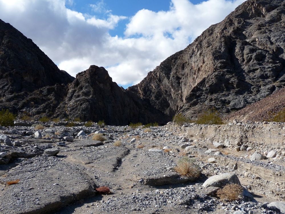
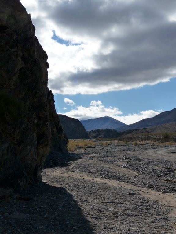
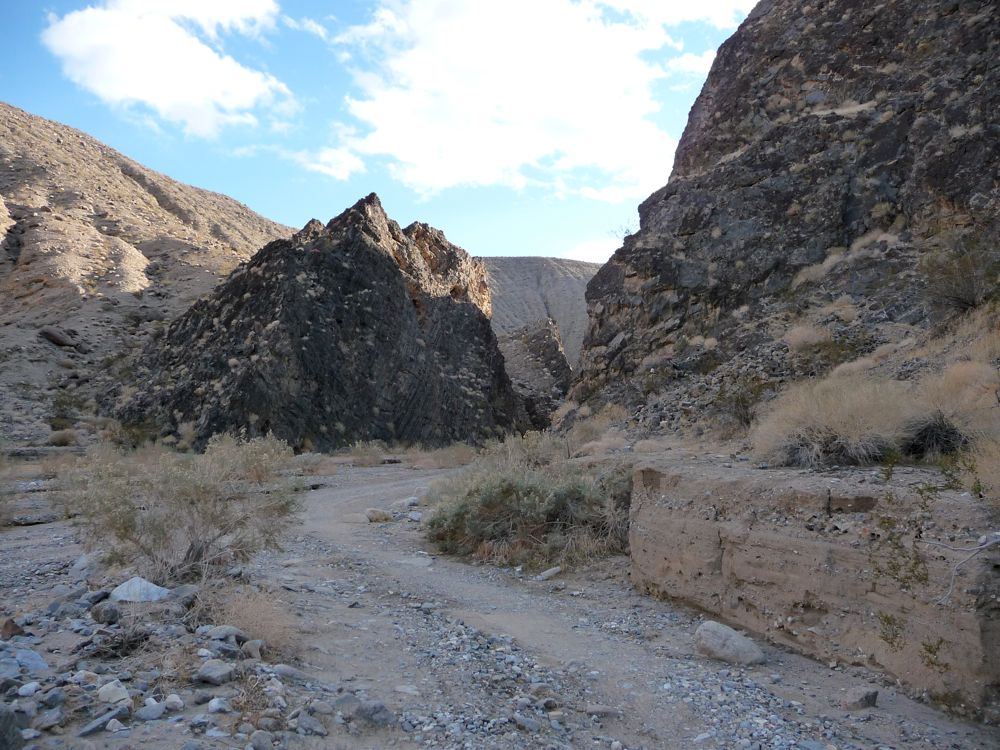
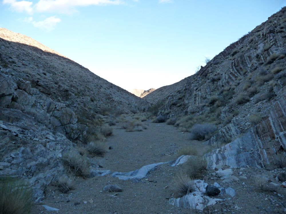
entrance to the canyon. Not far beyond that is the area where people park their cars, and then the road turns sharply to the south.
Within a few hundred yards after, the canyon walls steadily creep closer and closer together, and the road heads towards what appears to be a dead end. From the
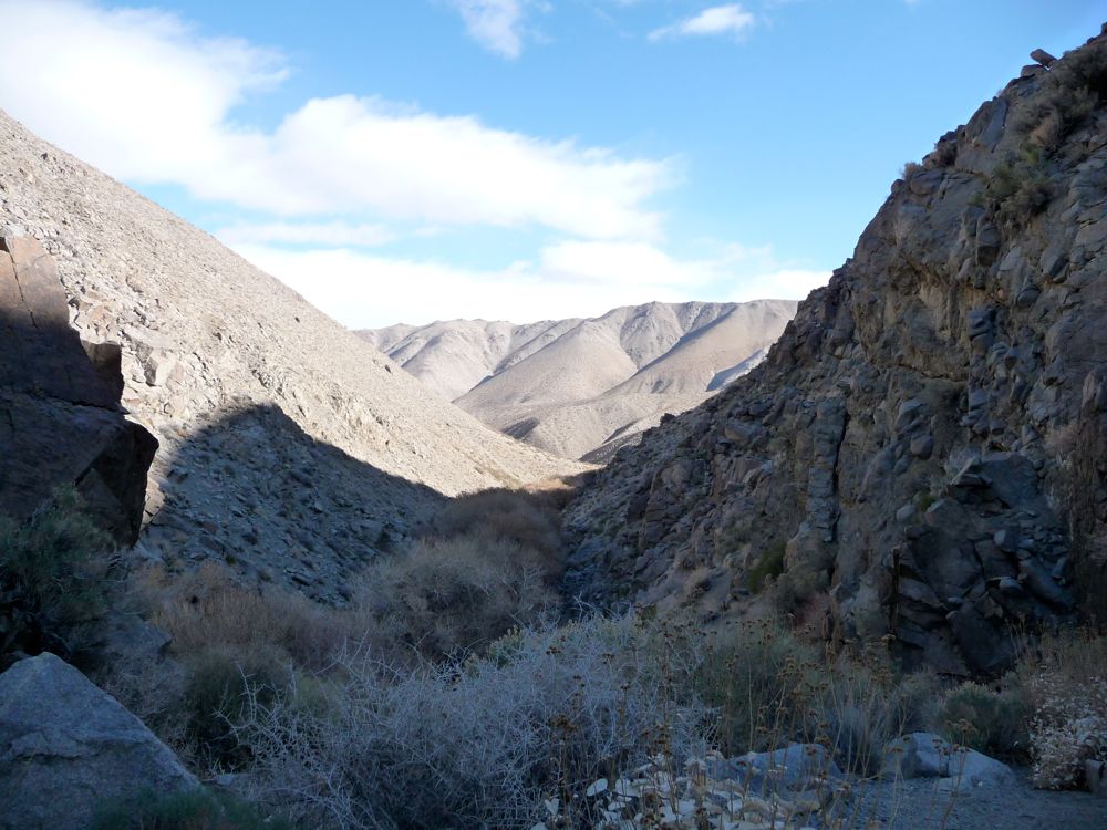
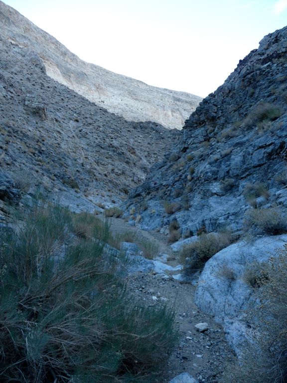
picture I took of the "dead end", I can see now where the road winds. But I swear, when I was hiking through there I was convinced I had taken a wrong turn or something. Sure enough, though, when I got closer to that wall the road
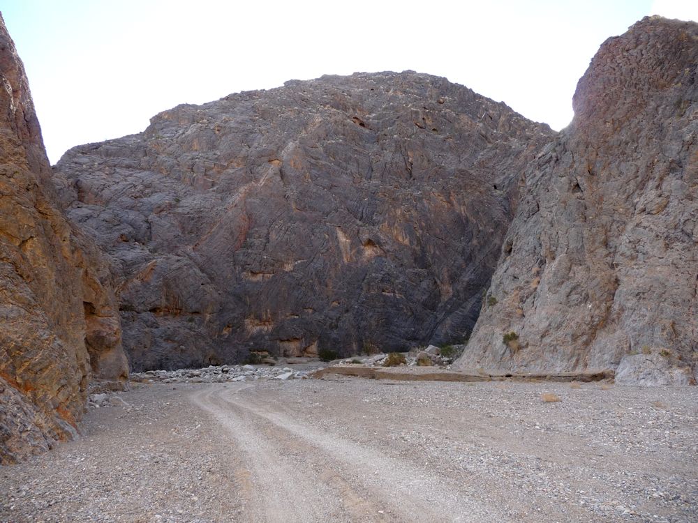
bent back to the east around steep, rounded walls. This was one of my favorite sections of the trip. Nice cool breezes and shade from the sun made the zig-zagging quite enjoyable.
After rounding the last corner I was in another
wide open section, at which point I stopped and had lunch in a spot of
shade. It was one of the worst lunches I can remember on a backpacking trip, the reason being that I was trying to quit drinking coffee at the time because of really bad heartburn (that I knew was caused almost entirely by the coffee), and I spent the entire time internally debating whether or not to have a cup. I knew if I didn't have some caffeine in me I wouldn't be able to do the hike, or at least I wouldn't enjoy it in any sense. So after deliberating, I downed a cup and pressed on. I should mention that I quit shortly after the trip and have no plans to start drinking it again in my life.
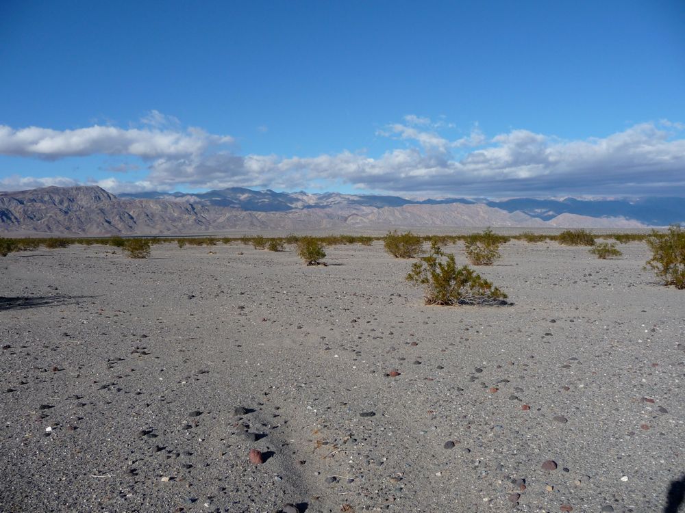
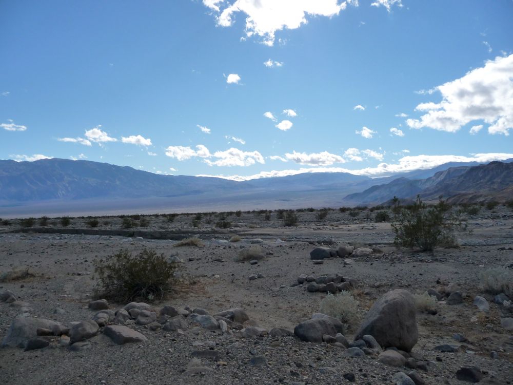
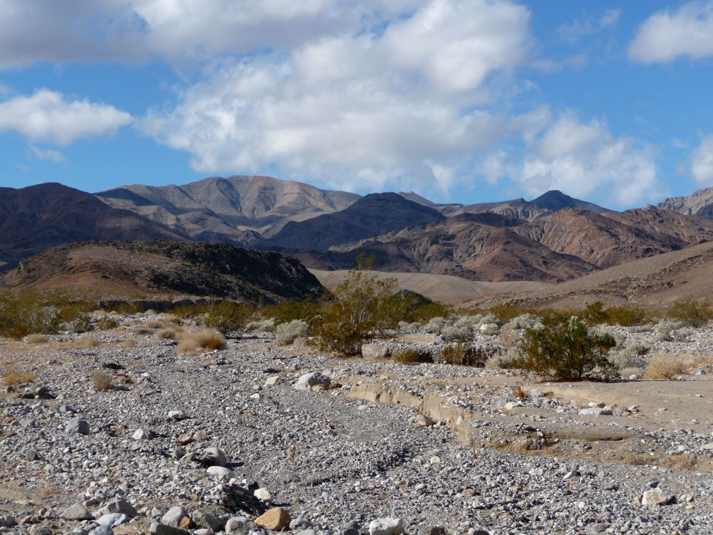
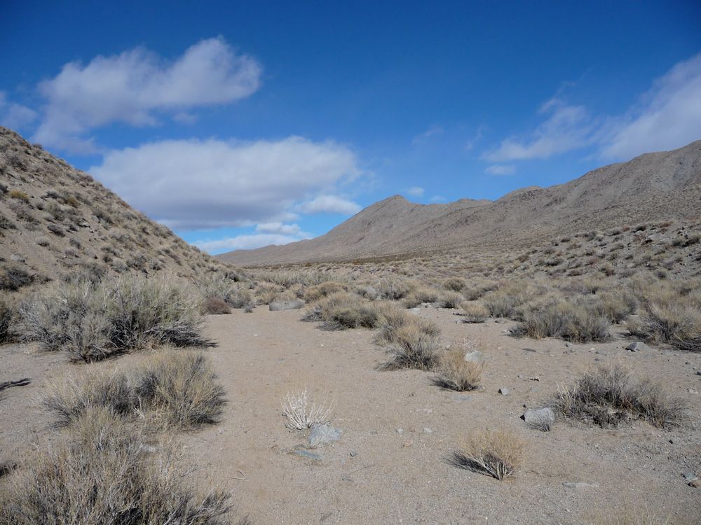
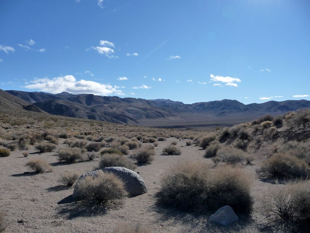
When I started moving, the
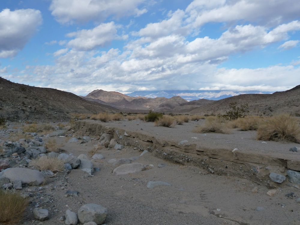
desert ahead of me seemed to stretch on forever. But within an hour or so, I finally entered a new,
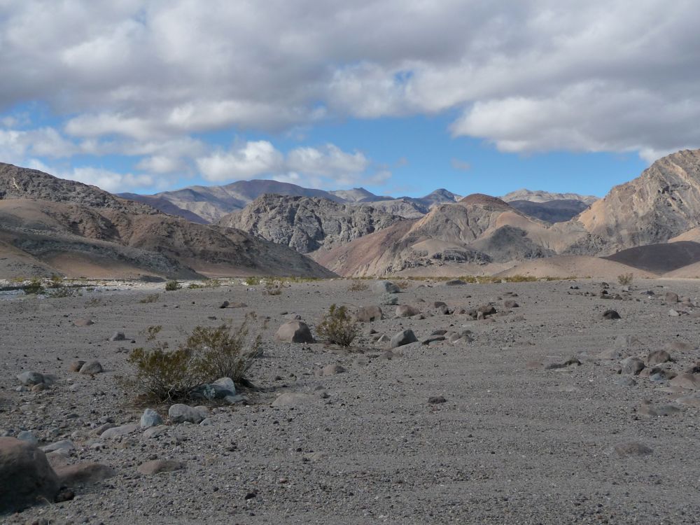
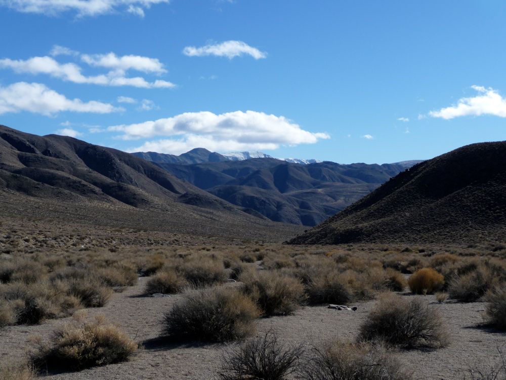
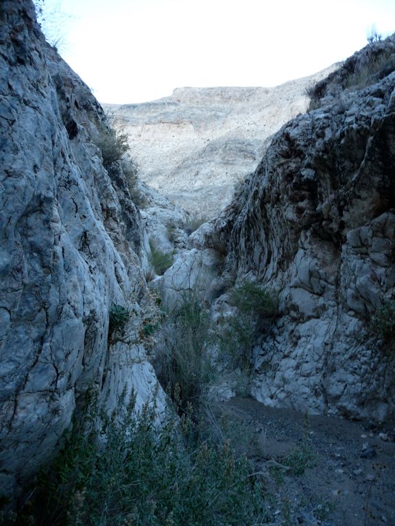
wide canyon that put that feeling to rest. After another few miles, the canyon grew more
narrow and took on that meandering behavior I had seen earlier in the day. There are a couple of really cool
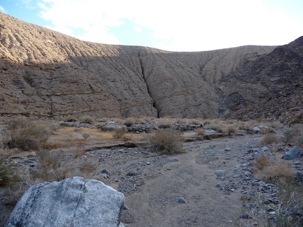
chasms and one
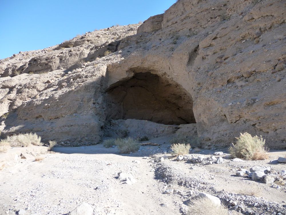
cave chipped into the walls.
I was climbing in elevation almost the entire time, but the grade is so minute that it's really hard to notice it. Somewhere around 2700 feet the curving canyon straightens out and opens up into a wider one. As the sun was sinking low, I was passed by a few jeeps and dune-buggies that made me a little jealous. Not that I wasn't enjoying the act of walking; just that it looked like a hell of a lot of fun to drive in this area. The one concern that did bother me a little bit was the lack of water. I was sure that there would be some flow at this point, but along the dried up bottoms of the wash that runs parallel to the road there wasn't a drop! The pessimist inside me began to worry that I wasn't going to find anything at all, and that I'd have to turn back.
About a mile north of Cottonwood Springs, though, I crossed a couple of patches of ice. And even though it was pretty dark, I could still see water running below, which inspired me. I guess I was just shocked that after weeks and weeks of heavy rain (there had been storms strong enough to close down roads in the area week ago) there was so little water here.
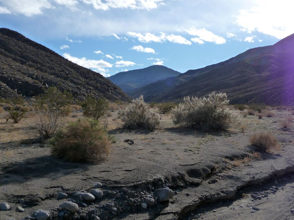
When I finally got to Cottonwood Springs, I found a tiny patch of flat dirt next to the west face of the wall, right at the end of the road. I could tell that tons of people had camped there in the past, and now it was my turn. While I was setting up my tent, one of the Jeeps I had seen driving an hour back pulled up and an older guy and his son and their dog got out. They told me they were gonna camp out here, too. But what they meant was that they'd be sleeping in the back of the Jeep. I have to be honest, I was a little jealous of the warmth they'd have. It was getting near the 20s by the end of the night. They had brought firewood, so they made a fire and we all ate together and shot the breeze for the next few hours. They were really cool people. The son had served in the Navy for awhile, and it was interesting to hear his take on things. It started to rain pretty heavily at some point, which prompted me to say goodnight to them and get in my tent for bed.
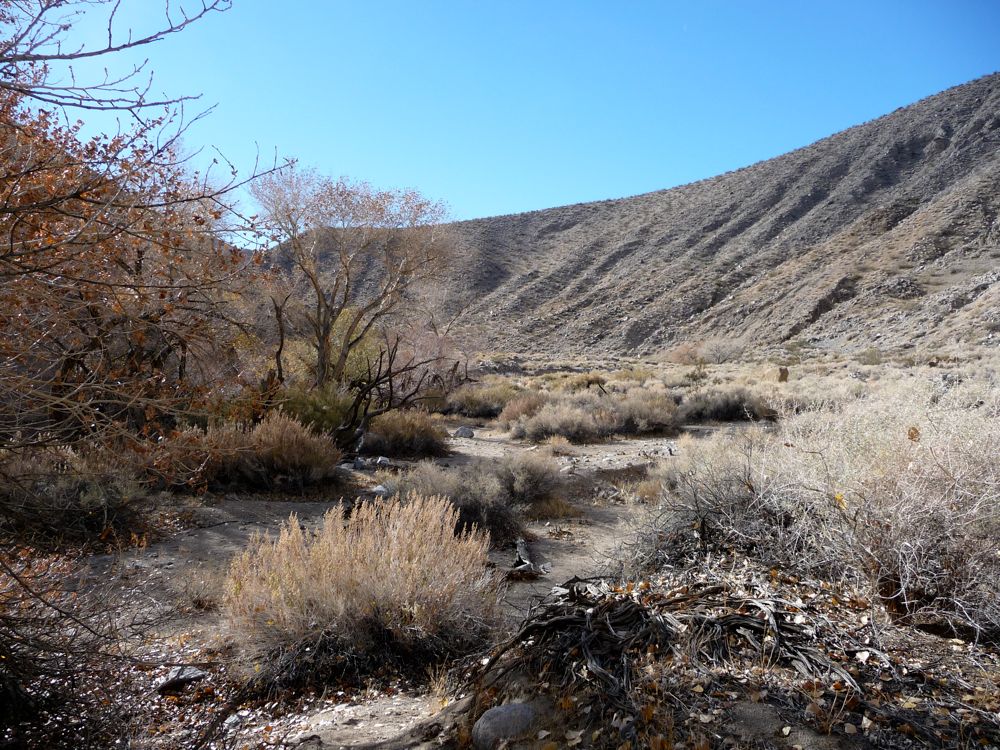
The following morning I awoke with an air of excitement for the day ahead, unaware that it would be one of the most intense backpacking experiences I've ever been through. It started off regularly enough: a bowl full of oatmeal and dried fruit followed by some light-paced hiking through gorgeous,
lush stretches of the canyon. For about a mile or two after the end of the road, the trail follows a trickling stream that allows some amount of vegetation and provides good places to fill up. There are some very cool

rock formations along this segment as well.
As you can see from the topo map above (or at least the areas that aren't filled in by grey squares for some reason), the canyon maintains a
wide and flat behavior for awhile. But after turning west, it starts to
narrow quite dramatically. The bottom of the canyon is choked by thick strings of vegetation, but the trail skirts along the edge, keeping you about 50 feet higher for some time. Eventually, it crosses from the northern edge to the southern one, and at this point you have to make your way through the maze of cottonwoods and brambles. Nothing too bad, though. The trail is pretty well maintained. When it climbs back up on the southern side, the footing becomes a bit precarious. Luckily, I was in no rush and didn't have any close calls.
After escaping the darkness of the narrow canyon, I veered to the right on the northwest track that leads toward Dead Horse Canyon. This part of the trail is really fun. The land breaks open into
another wide expanse of desert and the trail climbs ever so gradually to the north. Along the way, there are
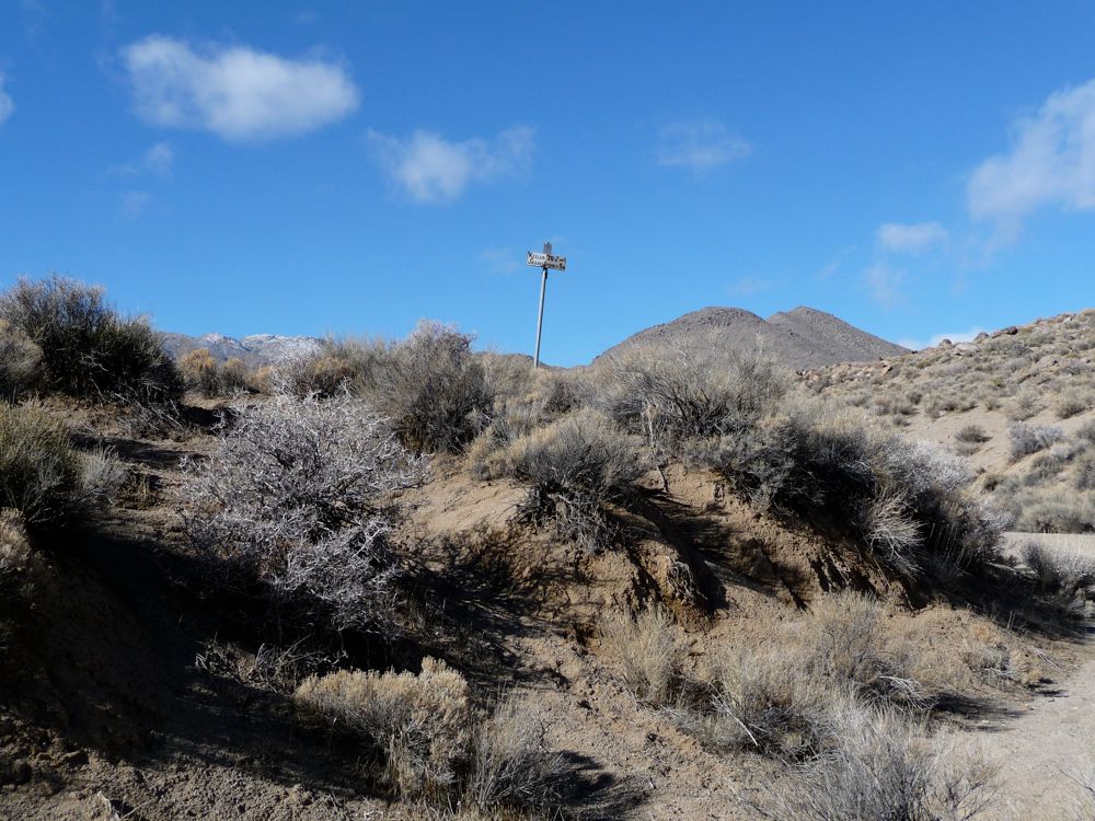
road signs left over from the days of the
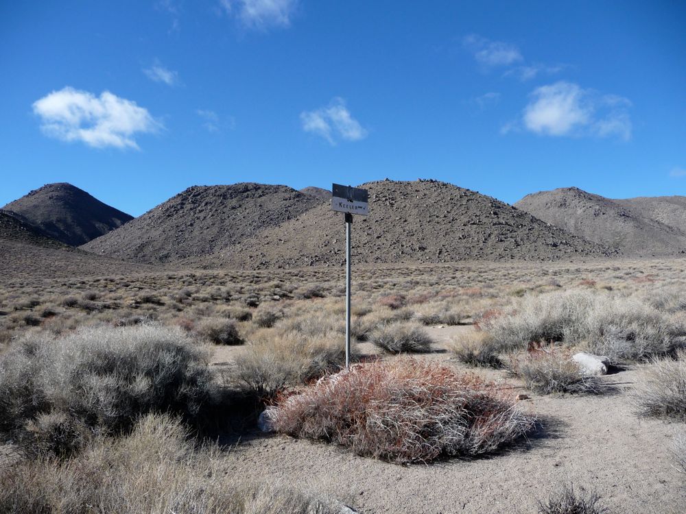
Gold Rush. Looking
back to the
south became more and more enjoyable as the hike wore on.
When I finally reached the 3-way junction that breaks off to Dead Horse Pass, it was fairly obvious where I had to go. I didn't pay much attention to the trail because of this. Instead, I took what looked like the easiest ascent to the top. And while this wasn't a big deal, my lack of attention to navigation would bite me in the ass soon enough.
After crossing the pass, I sank down into the canyon on the other side in a great mood. I had a whole liter of water left, the temperature was perfect, and the trail was excellent. I was a little worried about whether or not there would be water in Dead Horse Canyon, but for the most part I was just basking in the sweet aroma of the desert vegetation and keeping my eyes peeled for wildlife. When I finally looked at my GPS I saw that I was slightly off the trail, but that didn't really worry me since the maps I have on there (the Topo US 2008 1:100,000) tend to misplace the trail by a few hundred meters in certain cases. I was on a well used trail, but as I pressed on, I realized my course wasn't correct. Instead of heading 330 NW, I was heading in a northeast direction.
I sat down to take a break at this point and study the map. I realized that I'd broken off the trail that leads to Dead Horse Canyon, and to get back to it, I'd have to backtrack and climb about 800 feet in elevation. There was no map on the trail that corresponded to the one I was on, but I could see that the canyon I was entering would lead out to the same canyon I had came up the day before. So I had to make a decision: backtrack and go to Dead Horse where I wasn't certain there was water or head down this canyon and go back to the campsite I had used the night before. After a little deliberation I chose the latter, partly because I'm lazy, but partly because the
trail I was on was really, really cool.
It continued to be really cool for awhile. After narrowing down a little further, it
twisted around a few bends and then it
narrowed a touch more. Within a few hundred yards, it was basically a short
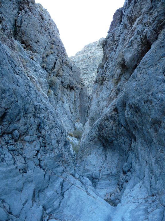
slot canyon layered with this gorgeous white marble that really put me at ease for some reason. I'd run my hands over it, taking in the
smoothness and the cool colors.
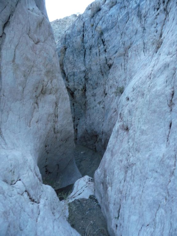
But then things started getting a little hairy, literally. It started off with a series of small ledges, maybe about 5 or 6 feet high. They weren't too challenging, but it was tough finding handholds. And after one dropoff I met with one of the nastiest
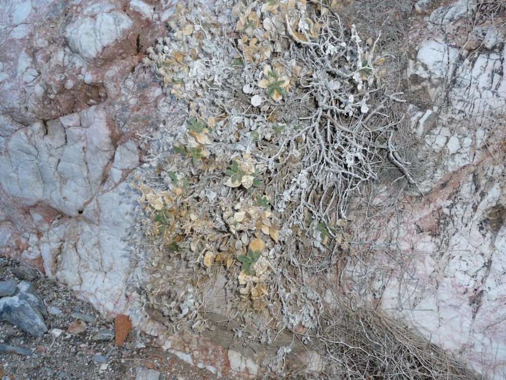
plants I've ever met. I didn't grab on to it, just brushed my hand by the leaves accidentally, and was greeted with an intense burn throughout my hand. When I looked at my hand up close, I could see these tiny little hairs stuck all over my skin. I tried removing them by brushing them off, but that just made it hurt worse. So I ended up picking the spines out one by one later on in the night. If you can avoid this sucker, I'd recommend it. For the time being I just had to ignore the pain.
The 5 foot ledges started turning into 8-10 foot dropoffs, so I took out my rope for some assistance. I'd lower my backpack down and then follow with a 2-3 foot jump to get me down. I was getting a little nervous thinking about whether or not I could make my way up these same ledges, but the human tracks dotting the floor kept me confident that things wouldn't get that much worse. I was quickly proved wrong when I came upon a 15 foot dropoff that had no good handholds whatsoever. The walls of the canyon were close enough together after the ledge where I could chimney down, though. So I lowered my pack and chimneyed down, making it to the bottom safely. Now I was starting to get a little flustered, to be honest. I'm pretty sure I could have chimneyed back up, but it wouldn't be easy.
As I was contemplating this, I was hit by a huge, goddamned slap in the face. The narrow canyon opened up into a small circle that had a tiny little exit on the other end of where I was standing. When I walked up and looked over, I could tell it was at least 30 feet to the bottom. The climbing rope I carry with me is only 50 feet long, so if it was much bigger than that I wouldn't be able to double the rope up and retreive it when I got to the bottom. To test it out, I doubled the rope up and let it slip down. It was about 15 feet off the ground. I remember shouting a long list of obscenities as I stared at the floor below and then slipping into a feeling of devastation by the possibility that I was trapped.
When I finally started paying attention to my surroundings, I noticed a bunch of shit lying on the ground. There were a few shirts and jackets tied together, and at one end there was a tapered rope that hooked up to an anchor set in the rock. "Hallelujah!", I thought. This at least gave me some hope that I wouldn't have to backtrack all the way up the ledges I had just come down. The knots were tied well, and after leaning back with all my weight on the last of the shirts over the flat section of the little circle I was in, I was pretty confident that it would hold my weight. So I tied my rope in a loop, passing it through the last knot in the chain. When I lowered the whole conglomeration of clothes and ropes to the bottom, I could see that it almost made it (I really wish I had more pictures of this, but I was sweating too hard to think about shooting them. See the epilogue for a link to some great shots of this area. It also discusses a bypass that you can take to avoid it).
The question I kept asking myself was: how do I know that this is the last huge drop? I mean, there could very well be a drop twice as long as this right after, and then I'd really be up shit creek...or down shit canyon, depending on how you think about it. I took a good four or five minutes studying my map and the GPS to see where I was and what laid ahead of me. The 150 foot contours on both weren't good enough to show these sorts of drops, but I could tell that east of where I was standing the terrain started to smooth out. There was only about 150 feet of descent left to get back to Cottonwood Canyon and it was highly unlikely that nature could fit in another drop bigger than this one in between me and where I wanted to be. So I decided I'd go for it. Worse case scenario I'd have to look to the sides of the canyon walls futher down and try to circumvent a big drop. Well, I guess the absolute worst would be me waiting in between these rock walls until the rangers came looking for me two days later. But I was pretty certain that wasn't going to happen.
I took the rope off, lowered my backpack down as far as the doubled rope would take it, and then let go of one end so the backpack dropped down. I was really praying my glasses were ok. It made a very loud thump when it hit the ground, but no cracking noises. After that, I looped the rope through the last knot in the shirts so that it effectively made one long strand. I said a little prayer and then got on the edge of the shelf. I stuck my legs over the ledge, trying to feel what was under it, but there was nothing. So I had to support all my weight with my arms. The walls of the canyon were too far apart to do any quasi-chimneying. Hand over hand, I lowered myself down, getting burned pretty well by the rope. When I reached the end, I dropped four or five feet and I was on the ground, holding one end of the rope so that it came down with me. Success.
My heart was pounding hard, but I didn't want to let my adrenaline die down if I had to make another one of these drops, so I quickly pressed on ahead. But not before I snapped a shot of the
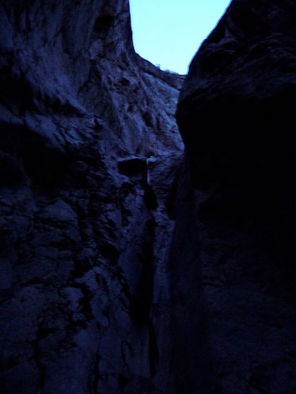
ledge hanging above me. It's a pretty crappy shot with no real sense of scale, but it still musters up a sense of urgency when I look at it. To be fair, this would obviously be a walk in the park for any decent climber. What made it so instense for me was that I wasn't expecting it in the slightest and I had no equipment other than a 50' length of rope. I've tried searching through the forums on canyoneering to find out what this side canyon and drop are called, but had no success. If you know the name, please email me.
I was thoroughly relieved to find no more large drops ahead of me. As the map predicted, there was a nice smooth decline over the next several hundred yards to the main section of Cottonwood Canyon. A few 2 or 3 foot drops, but nothing close to what I had just been through. The feeling of relief I had when I got back to the road along Cottonwood Canyon was overwhelming. As I turned south to get back to the springs I realized that I was extremely thirsty, so I downed the rest of my water. There was hardly any daylight left, so I donned my headlamp and kept a fast pace-almost jogging-to the area where I had camped the night before.
After filling up with water I collected some firewood, made a quaint little fire, and ate my dinner while I played the last few hours over and over again in my head. Did I do something really stupid by going down that canyon without being properly prepared? I'm fairly certain the answer was yes. Luck was on my side, but the next time there was a good chance it wouldn't be. So I vowed to myself that if I ever came up against a scenario like that, I'd just bite the bullet and backtrack. Would it be fun? No. But at least I wouldn't be risking my life or some broken bones.
The last day of the trip was relatively unremarkable compared to the day before. It was a 15 mile walk back to my car, and I tried to pace it so that I would get there just around dark. I wanted to enjoy the desert for as long as I could. When I reached the canyon mouth, I considered hitching back to Stovepipe Wells. But I had run into some strange characters along the way; strange enough to make me question whether I'd end up as a piece of furniture in some guy's cabin. The last four miles weren't exactly fun, but it was quite beautiful to watch the sun play with the clouds over the desert landscape.
The whole way back I was preparing myself to open my trunk, swap my dirty clothes with some clean ones, and set up my tent at the same campground I had stayed at before. But when I finally got there and smelled the scent of meat cooking and saw steam rising from the tops of the hotel, I immediately changed my mind. It was definitely sub-zero temperature outside, and I really wanted to get a good night's rest. I managed to get a room in the hotel at Stovepipe Wells. It was almost certainly one of the most meager arrangements I've ever spent more than 100 bucks on (no tv or internet), but the central heating and bed were worth every cent.
Epilogue
Nearly a year after completing this trip, I received an email from two hiker/climbers from the bay area named Dan Truong and Renaud. They told me they had happened upon the same slot canyon I had wandered down and notified me that there was a way to bypass the 30 foot drop. They have some excellent photos of their trip here. The huge ledge is shown in this shot. Thanks to you guys for pointing this out!