


TRIP DETAILS
TRAIL MAP
OVERVIEW
Adair Lake may not seem like a destination in itself. I try to be honest with all of my trip reports, so I'll admit it was not my intended final destination for this trip. My intention was to make it to Obelisk Lake. The problem was that the descent from the ridge above Adair Lake down to the water took me almost the whole day when I thought it would only take me a few hours, and this pretty much ruined my gameplan.
Why did it take so long? Well, I took a very dumb route to get down (although I spent a long time studying maps to determine the most gradual way), and I wasn't even sure that I'd be able to use the same route to get back up. Since I hadn't allocated any spare days for the trip, that meant I would have to use an extra day to make it to Obelisk Lake, and that would have resulted in my girlfriend calling the rangers to go search for me when I didn't call her in time.
The good news is that you can easily avoid the terrible route I took on the second day and instead use the one I traveled on the third day (or an even better one that was suggested to me by others) so that you don't have the same nightmarish experience. Adair Lake has some of the most superb fishing I've seen in all of the Sierras. I'm talking "three casts-three fish" type of spot. So it's definitely a destination in itself.
The one thing that I must absolutely mention at the outset is that the road leading up to Chiquita Pass is a gnarly one. I rented a Nissan Altima for my trip, and it got to the point that I wasn't worried about cosmetic damage to the car; I was actually worried about puncturing the gas tank or breaking an axle on the jagged rocks that make up the road. Luckily, I made it to the trailhead and back without any serious problems. But I don't know how repeatable that kind of luck would be. Better to take a vehicle that's built for off-roading.
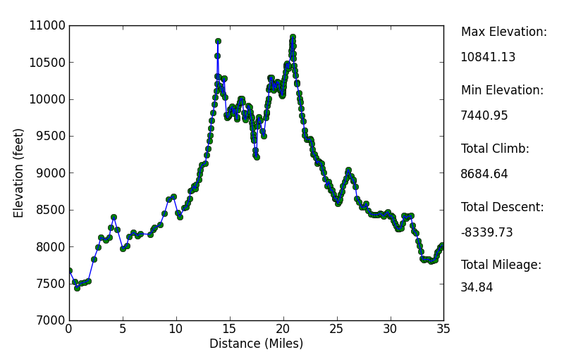
Elevation Profile
TRIP LOG
I got a fairly early start for this trip. Not quite as early as some of the other trips I've done. My thinking was that the first day would actually be pretty short, so it didn't matter much when I reached the trailhead. Turns out that I was way off in my estimation. I would end up making it to my first night's destination just as the sun disappeared below the horizon.
It only took about 2.5 hours of smooth driving to reach the junction of route 49 and route 41 in Oakhurst. The next 1.5 hours or so was not so smooth. Once the road starts climbing, the pavement quickly evaporates and gives way to dirts and large, unfriendly rocks.
The sounds coming from underneath the driver seat had me cringing at every turn. At one point I got out of the car to pee and smelled a strong aroma of gasoline; something that would keep me up worrying at night while I was out in the backcountry. Had I caused a small leak in the tank that would drain the fuel supply by the time I got back? It turned out the answer was no. But I did put enough chips in the paint near the bottom of the car to make me worry about what they would say when I returned the car to Enterpise.
I reached the small dirt lot at around 10:00 am. There are no bathrooms or running water, which I had known in advance. But there are some bear boxes to store your stuff. For the first time in my life, though, everything I left in the bear box (some gum, fruit, and soap) had been stolen—or simply thrown away—while I was gone.
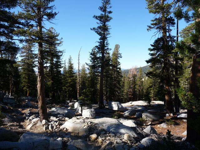
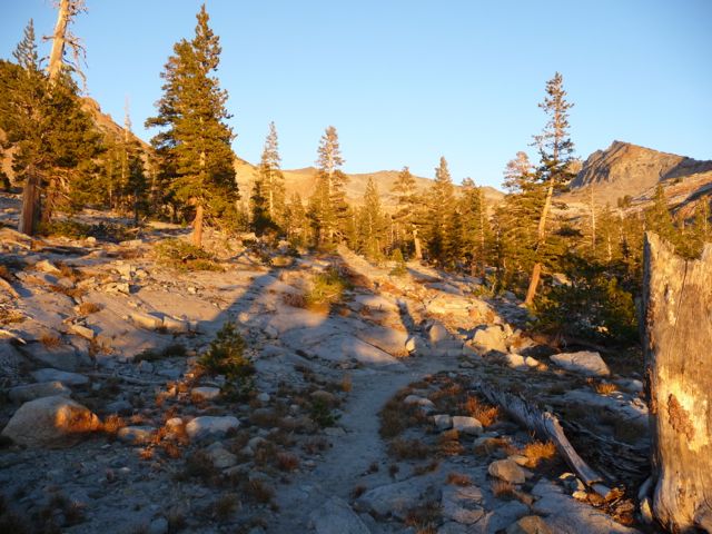
The trail starts off with some very
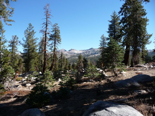
clear views of the peaks to the north. The trails are well labeled, but I still managed to get slightly lost. I had intended to just follow the trail north to Chiquita Pass, but somehow I managed skirting along the south edge of
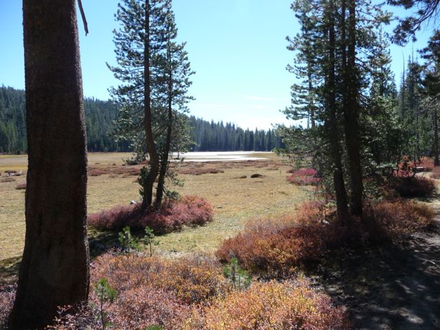
Chiquita Lake. It should really be renamed "Chiquita Pond" or "Chiquita Marsh", in my opinion. Not much water there at all.
I turned around after about a half a mile and backtracked to the "junction" where I had split from the trail to Chiquita Pass. When I reached
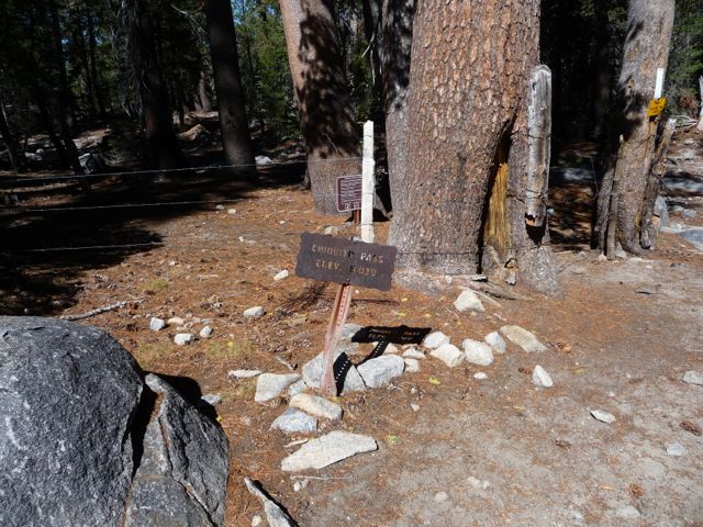
Chiquita Pass, I was probably the most disappointed I've ever been by a pass. I honestly don't know why they would choose to call it a pass since, when you are standing on top of it, there is almost no elevation gradient in any direction. But anyways...moving on.
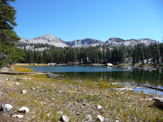
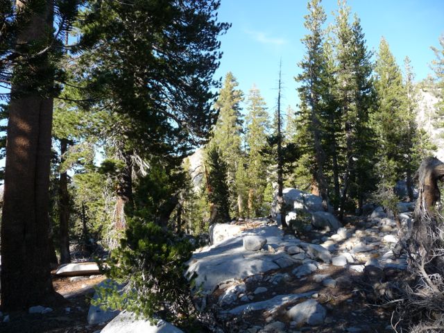
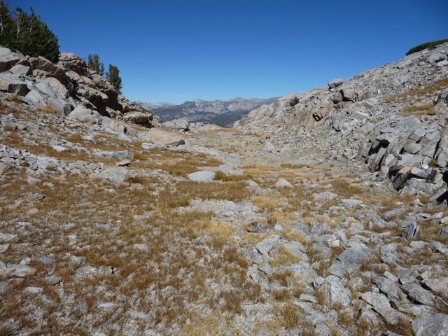
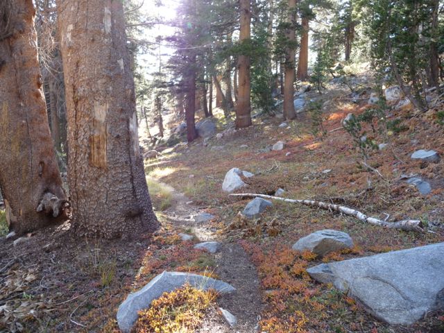
The trail between Chiquita Pass and the next junction was not very eventful, but it was very peaceful. Not a person in sight. Since it was only about 11:15 when I got to the junction, I decided I'd head east and check out Chain Lakes. It took me about 40 minutes to climb the gradually ascending trail and get to the
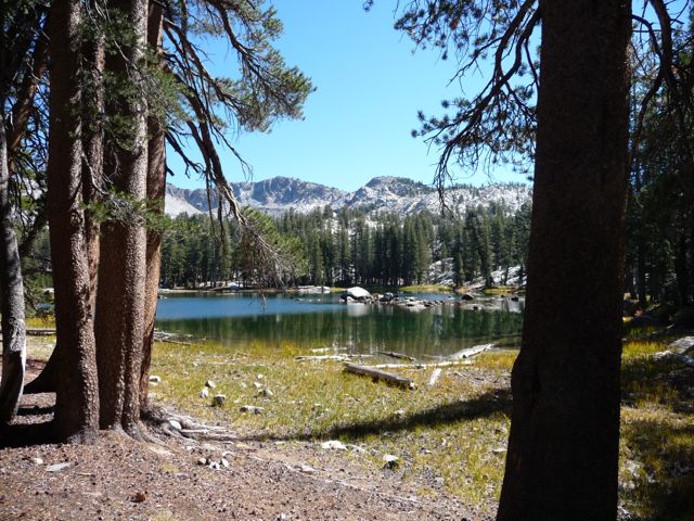
shore on the west end of the lake, but it was well worth the sidetrack.
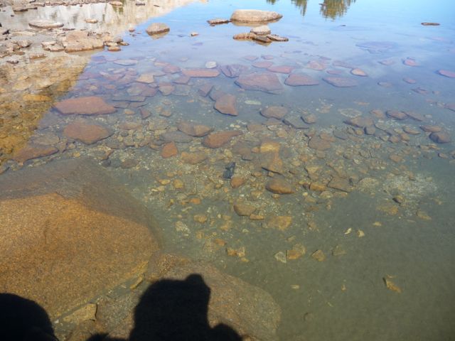
The drought had left the lake at a
very shallow level, so much so that I could have probably crossed it without getting my belly button wet. I sat down on a log in the shade to eat my lunch, and as I ate, I was absolutely amazed at how many fish I saw in the crystal clear water. I was tempted to take out my rod and reel, but I didn't have much time to spare or the desire to carry wet, smelly fish with me for the rest of the day. So as soon as I was done, I headed back.
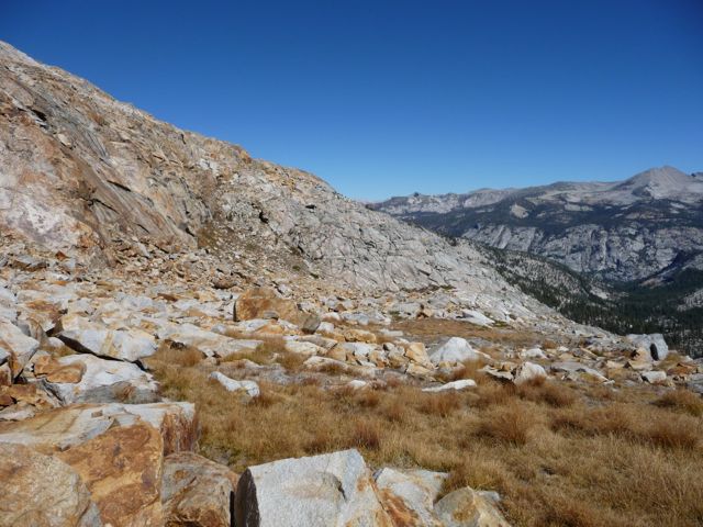
I always feel like a bit of an ungrateful vermin when I say anything negative about anything at all in the Sierra Nevada National Forest or the surrounding national parks. But if I'm being truly honest, I can say that the next few miles of trail were rather unremarkable. There were a few clearings that gave
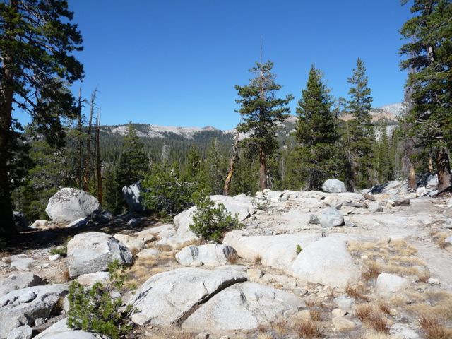
open views to the north and a few
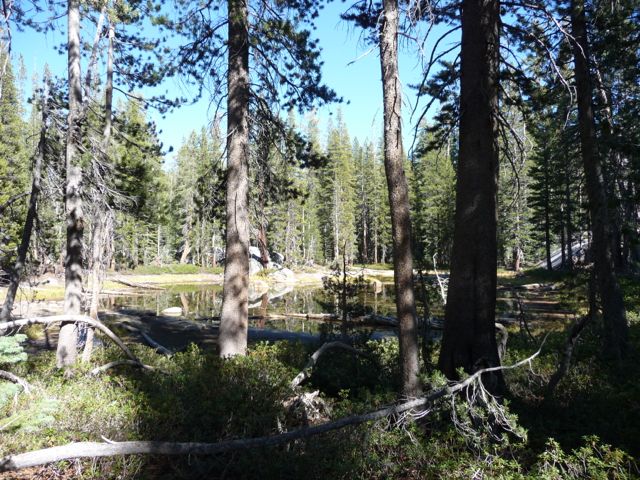
ponds that made me want to reach for my camera. But other than that, there wasn't much to excite the eye. Part of the problem was that the streams were
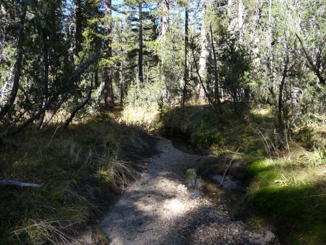
bone dry. So that usual sense of excitement I get when I see beautiful mountain water rushing next to me was not triggered at all. In fact, there wasn't a single decent place to fill up on water until I hit the trail leading up to Lower Ottoway Lake.
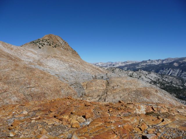
As the sun got lower in the horizon, the few
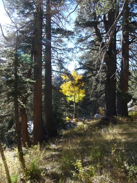
aspens scattered about the trail began to glow: a sight that always makes me feel enormously content. It was somewhere around 4 o'clock when I finally reached Merced Pass. Now here is another pass that does not really do justice to the word "pass", in my opinion. Looking to the
south was like looking into a wall and looking to the
west was similarly unimpressive. The one good view was to the north, where I caught a glimpse of
Mt. Starr King. I had explored the area around it a few years back, and it brought back some fond memories.
On the descent from Merced Pass, I was thinking it would be nice to sit down for a second on the shore of Lower Merced Pass lake. So when I reached the three way junction just before it, I started walking west for a short while and climbed over a series of rocks. According to my GPS, I should have been looking down on water. But all I saw were rocks and trees. Not wanting to waste time and energy, I decided to start my trek up to Lower Ottoway Lake instead. I would find out later, on my way back, that the lake is actually several hundred yards further northwest, and that my GPS was lying to me.
Getting up to Lower Ottoway Lake proved to be quite a task. I had already been walking for over five hours, and the high elevation was starting to catch up to me. Very short on water, I was thrilled to find that Illiloutte Creek was still flowing. I filled up my water bottles there and paused for a little snack.
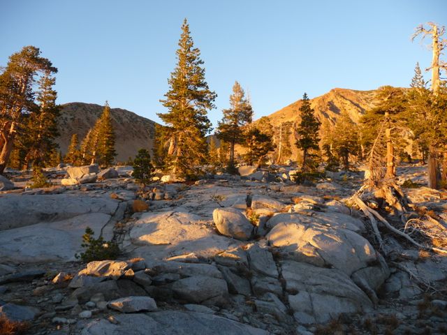
The daylight was starting to fade, and once I had gotten to about 9300 feet, I started to get the sense that the alpenglow on the
rocks ahead of me would not disappoint. It kept getting
better and
better with every step, and by the time I was level with the lake, it was absolutely
magnificent.
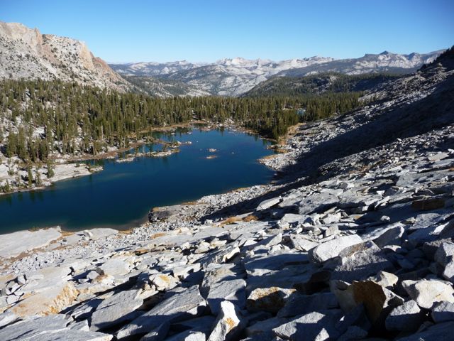
I won't inundate you with every single picture I took when I got to the
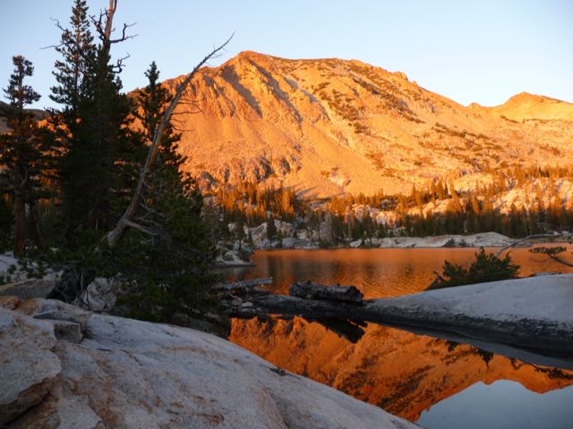
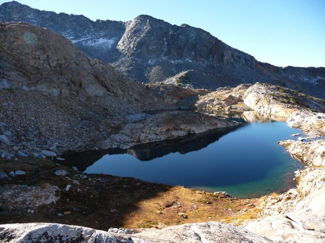
shore of Lower Ottoway Lake, but let me just say that it immediately became one of my favorite
alpine lakes in the Sierras. There are fantastic places to take pictures of the mountains reflecting off perfectly still pools of water, tons of great spots to set up camp, and so many fish that it would actually be a challenge not to catch one.
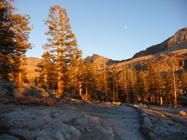
My stomach was growling and the little voice of reason inside my head was telling me I should set up my tent before it got too dark, but I could not stop taking pictures. What's funny is that after owning my camera for several years, I finally learned that night that it was capable of taking long exposures. So I continued for about a half an hour trying to capture a good picture of the
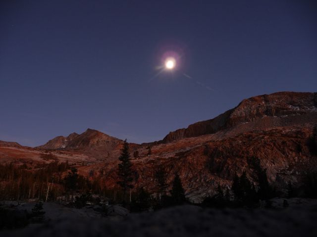
moon rising above the ridge to the south. It wasn't professional quality, and the moon completely saturated, but I was content nevertheless.
It only took me a few minutes to set up camp and start cooking. And then I got to enjoy one of my absolute favorite things about hiking in the early fall in the Sierras: I ate dinner that night in complete piece and quiet. No mosquitos or other human voices around. It was perfect.
I'd like to start out this day's description by saying: do not follow it. The route that I took was a very, very bad one. I would only recommend it to my enemies.
But I'll get to that in a bit.
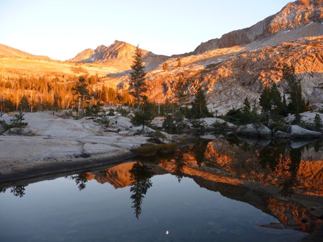
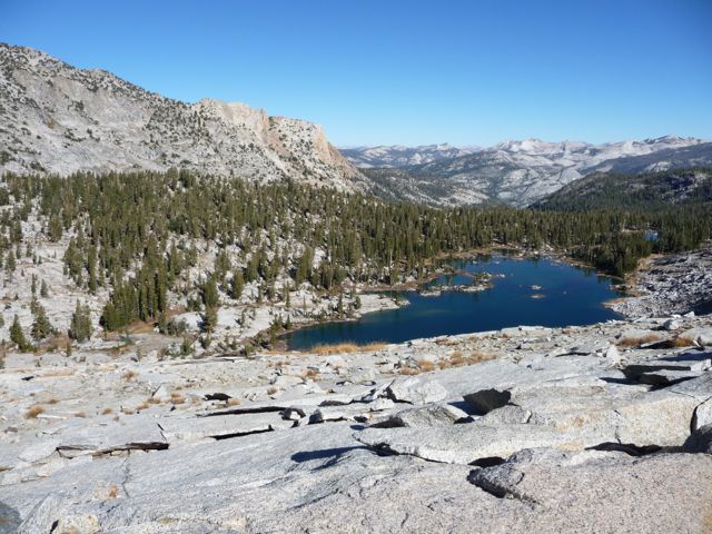
The day started out beautifully. I was thrilled with every inch of the trail from Lower Ottoway Lake to Red Peak Pass.
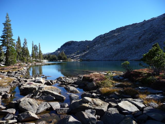
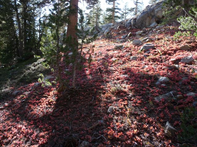
Upper Ottoway Lake was a gorgeous site to see. So were the dozens of small streams that I crossed and the patches of
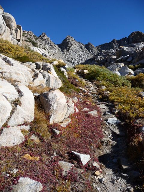
red heather along the way.
Past Upper Ottoway Lake, the trail puts you on a nice straight path up for awhile, and then leaves you at the bottom of a pretty intense set of switchbacks. On the way up the switchbacks, there are increasingly
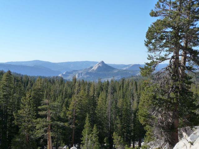
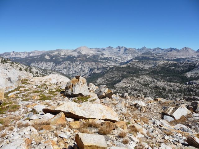
good views to the south. When I finally get to the pass itself, I was thinking, "Yup, this is what a pass is supposed to look like." Incredible lines of sight to both the
south and
north; just worlds better than the two pseudo-passes I had seen the day before.
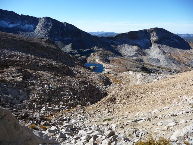
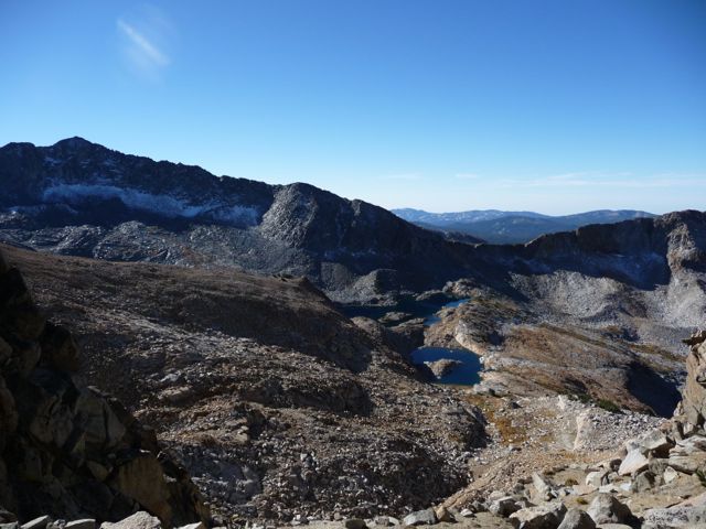
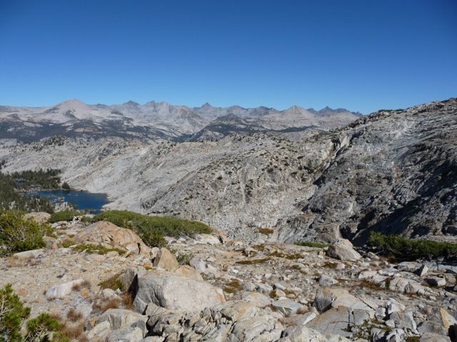
The thing I had been anticipating the most on this trip was the brownish-red notch just to the right of center in
this picture. While planning my trip, I had been reading about the best ways to get down into the valley that contains Adair Lake, and I came across this post on High Sierra Topix that describes a potential route from Red Peak Pass. One of the members on there named Old Ranger posted a report about a trip he took there, and he detailed a route that involved passing around the north side of that brown notch (he calls it a "red cone"). It looked like a good way to go on the topo map, so that's what I had been aiming for.
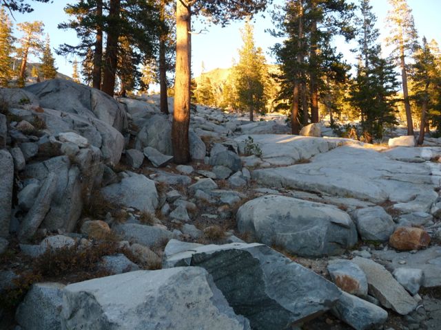
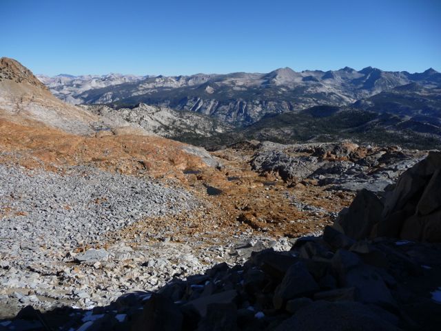
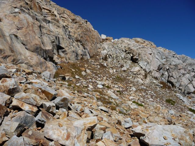
Getting to the notch proved to be more difficult than I had anticpated. I had read that on the way down from Red Peak Pass, it should rather obvious where to break away from the trail to start moving northward. Once I had descended a
few hundred feet, though, it wasn't entirely clear what the best course of action was. In the previous picture, you can see a large patch of red rock interrupted by a chunk of grayish rock. I decided I'd stay pretty high and meander along the gray patch, so what I ended up doing was breaking off of the trail around 10,400 feet. As you can see, the
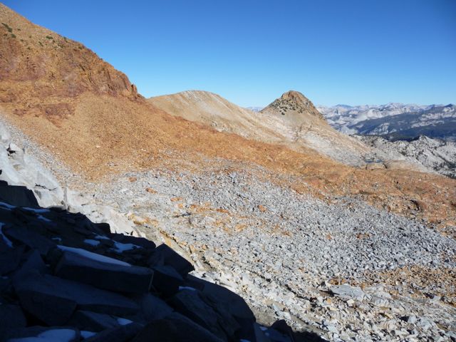
terrain is flat, making it easy to travel in almost any direction. But as I approached the notch, what I found was that once you reach the edge of the very bright red rock in
this picture, there is a steep drop off that doesn't lend itself well to an easy stroll downward.
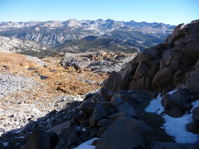
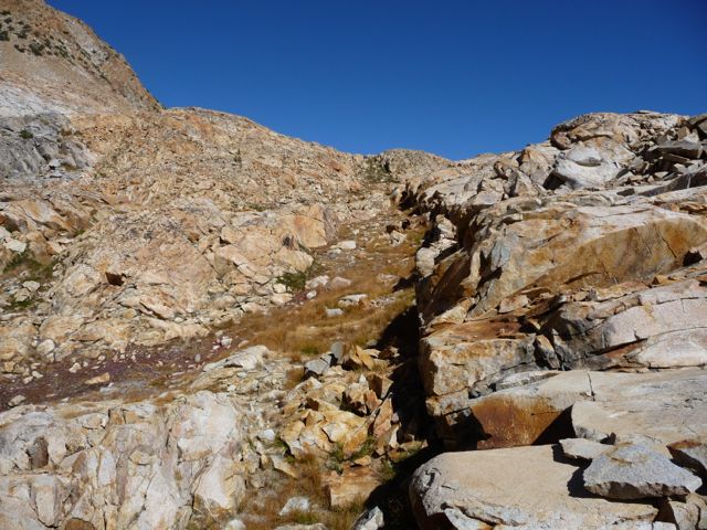
If you look at the waypoints on the terrain map option above, you'll see that I ended up moving east and making my way to the Red Peak Fork and then cutting west. There is actually a little micro-canyon that follows the Red Peak Fork and is very easily navigable (it should be even with higher water). It's also interesting to note that the topo map option above disagrees with the terrain option by a few hundred feet. I can tell the terrain option is the more accurate because I did not cross those three pools of water. Come on, what's up Google Maps?
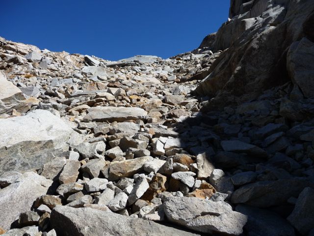
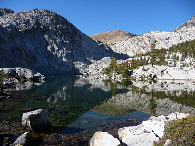
I was absolutely delighted to find an extremely easy
staircase that heads north when I made it to end of the Red Peak Fork (at the edge of the easternmost pool). I followed this staircase, and when I got to the top, I was greeted by a perfectly tranquil
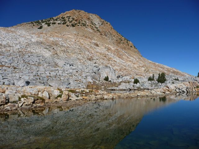
tarn. As you can see in that picture, I was getting very close to the reddish-brown notch. I started to worry a bit about how steep it would be on the other side of the ridge just before it, but there was very little reason to worry. The least difficult path is not hard to find. If you just keep as far
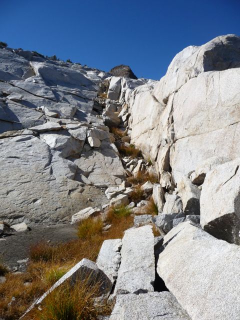
left as possible, you only have to deal with a bunch of
fragmented rock interspersed with patches of grass.
After about a half a mile of slow walking along this stretch, I found myself at another
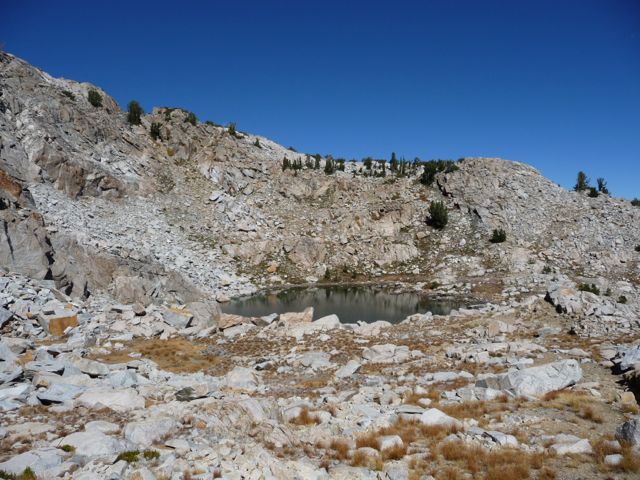
substantial tarn. I stopped here for a few minutes to get water and study the map. From what I could see, the best way to proceed would be to head straight up the face at the center of the previous picture, and it turned out I was right. It was very easy going. But when I got to the top, that's where I made a big mistake.
Now, I've posted the waypoints from this trip in different colors to make this as clear as possible. Up to this point in the story, the green and orange waypoints overlap. And to put it in the simplest terms, after they split off from each other, I recommend following the orange ones; not the green ones. Following the green waypoints will likely give rise to a huuuuuuuuge amount of frustration.
While it may look like following the green waypoint route is the smartest way to go because of the shallower gradient, it is anything but. I literally spent four hours trying to cover a mile by going this way. It was easy to cover the first section of this trail — the one that goes west. It brings you down a few hundred feet along a
long corridor of loose boulders. Once you come out, you'll be at the top of a pretty impressive waterfall that serves as drainage for the Grey Peak Fork. The problem is that you can't follow this drainage because it's basically a super-steep chute that would be very dangerous to descend.
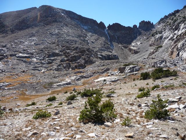
The view from this point gave me some indication that I had probably made a mistake. I could see that if I had headed north after the ridge I had just crossed, I would have probably had a fairly easy descent down to the eastern shore of the lake 9705 (the lake just east of Adair). But I couldn't be completely certain.
Without requiring a ton of backtracking, the only real option was to proceed west and climb up a few hundred more feet to return to a northern course that would drop me down to the elevation of Adair Lake. While on my way up, I saw an astoundingly beautiful
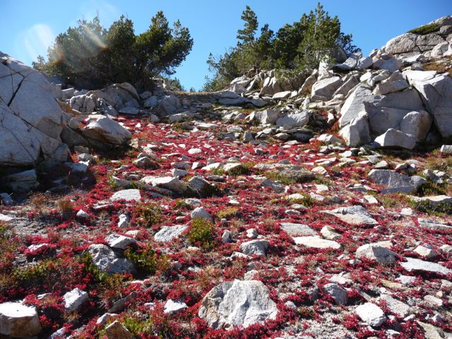
patch or red heather that brightened my mood for a bit. Once I had finished climbing, I moved a bit toward the west and saw the large
basin below Grey Peak. I was happy to see that there was some
flat ground that would bring me further north. But my mood would quickly turn sour.
What I would find is that descending 800 feet to Adair Lake from this point was a bitterly hellish endeavor. The real problem is that the contour maps just don't have enough detail to show the countless shelfs that lay before me. I would descend 100 feet, come to a sharp drop-off of twenty feet, and realize I had to backtrack up 75 more feet. The process seemed like it went on forever. I was so frustrated that I didn't take a single picture for about two hours.
The worst part was that, at one point, I had to shimmy my way down a little chute of polished granite, and it wasn't clear if I'd be able to get back up it if I wanted to. So my confidence in getting back up they way I had come was definitely shaken.
I had started my descent at 12 o'clock, and by the time I got to the flat area south of Adair Lake, it was 4 o'clock. My original plan was to make it down to about 9000 feet and camp along the Grey Peak Fork, but I was just too exhausted to do it. It didn't help that I had eaten almost nothing over the last four hours. So I ended up eating a large snack, and during that time I decided I'd set up camp, take a bath, light a fire, and then make a decision after my mind had settled a bit.
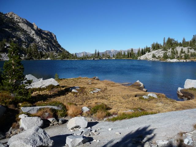
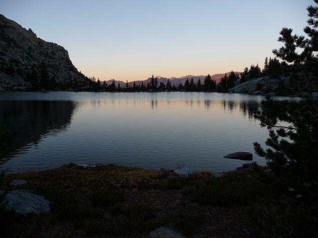
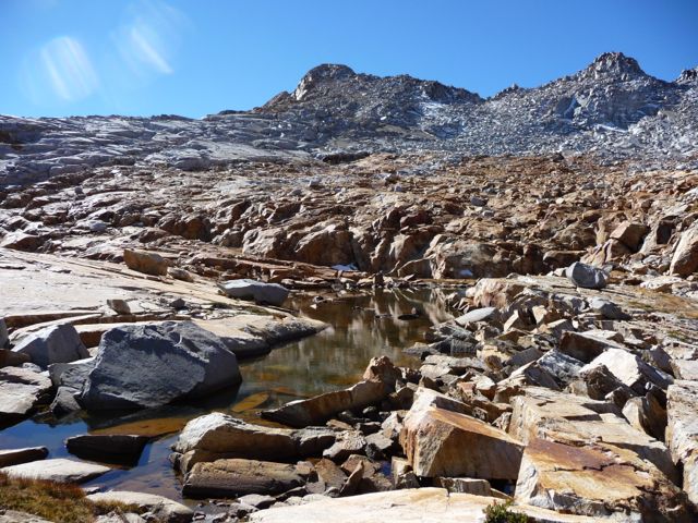
Adair Lake was truly beautiful. It wasn't the best place in the world to camp, as there aren't a heck of a lot of flat patches of ground that aren't covered by sharp rocks. But I did manage to find a small rectangle of grass to put my tent on. I quickly jumped in the ice cold water and washed off, and boy did it feel good. When I got out, the sun was starting to set behind the ridge to the west. So every ten minutes I'd get up and move a hundred feet to the east to stay out of the shadow.
While sitting there, I had seen a good number of fish splashing about. I set up my rod and started casting with a red rooster tail, but I didn't get any hits for about ten minutes. After changing to a little green spinner, I had
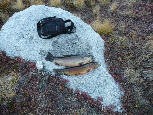
two fish within five casts.
I lit my fire, ate my fish and some rice, and then pondered my options for the next day while I stared at the
gorgeous waters of Obelisk Lake. The problem with my situation was that I really only had a day and a half to get up to Obelisk Lake and back to where I was, and I wasn't sure that would be enough time, especially if I rolled an ankle or something like that. Plus, I still wasn't fully confident on whether or not I'd be able to use the same route (or if I even wanted to) to get back up to the ridge I had just come from.
I didn't really reach a decision that night, so my sleep wasn't that great. I tossed and turned while I contemplated the possibilities that lay ahead.
It wasn't an easy decision to make, but while I ate breakfast that morning, I chose not to attempt the journey to Obelisk Lake. Based on my pace so far, I just couldn't be certain that I'd be able to make it all the way there and back to the trailhead before my girlfriend would call the National Park Service. I've turned back on trips before, but this one was really hard since I'd already attempted to get to Obelisk twice before (although it was in early spring).
As I ate breakfast, I studied the map and looked for the best way to get myself out of the valley I was in. I really, really did not want to try and retrace my steps, especially since I didn't know if I'd be able to make it up that chute I had come down. From where I was sitting, I couldn't really see the ridge immediately to the west. But I did have
this picture. When I looked at it on my camera and zoomed in, it looked like there was a pretty easy way to get back up if I could just cross over to the eastern edge of Lake 9705. On the topo map, it looked tougher than the way I had come down. But in the picture, it looked like it would pretty much be a piece of cake.
So after breakfast, I packed up all my belongings and started walking up the +300 foot hill to the east of Adair Lake. There is a fairly open forested area between the two lakes, and it wasn't immediately obvious how I should try to circumnavigate Lake 9705. Going around the southern shore looked like it would be very precarious since the water comes right up to a rather
steep rock face. Going around the northern edge looked doable, but the lazy side of me was pretty interested in a third option, which was to try and cross it in the middle. Cutting through the lake were a series of rocks that looked like they might form a suitable
landbridge.
Drawing nearer to the rocks, my spirit lifted when I realized that I'd easily be able to cross without getting my feet wet. I doubt that the bridge is crossable earlier in the season, but with the low water level it was a piece of cake.
Within minutes of beginning the ascent, I was overcome with relief. The
slope was extremely manageable. At no point did I encounter any spots where I was forced to backtrack, nor did I encounter any sections where I felt I might severely injure myself with a fall. In fact, after just a few hundred feet of climbing, the terrain becomes
almost flat. Higher up, there are a few spots where it gets a little tougher to find the best way, but it seemed like there was always a nice
staircase to follow if I just moved laterally a bit.
Overall, I'd say that the route I took up was a piece of cake. It took me only an hour to move between the same two points it had taken me four hours to move between yesterday, and this time I was going uphill! However, if you look at the later posts on the High Sierra Topix site, you'll see that it may be even better to crest the ridge I've been describing by heading northeast from Lake 9705. I believe that's what I'll try the next time I make an attempt on Obelisk Lake.
There isn't much new to tell about getting back from the ridge above Lake 9705 to Red Peak Pass. I did want to start moving quickly so I could at least get back to Lower Ottoway Lake, though. When I stopped for some water at one of the tarns, I found it pretty amusing to see a
staircase to Red Peak Pass. I did want to start moving quickly so I could at least get back to Lower Ottoway Lake, though. When I stopped for some water at one of the
tarns , I found it pretty amusing to see a
vintage pair of sunglasses laying below the water. Who knows how long those things have been sitting there.
Getting back up to Red Peak Pass was a lot more difficult than I thought it would be. I just couldn't find the trail. So I ended up just heading in the general direction of the pass, climbing over boulder after boulder until I was at about 10,500 feet. And at that point I could finally see where the trail was.
Once I found the trail again, it was smooth sailing. Shortly after going over the pass, I ran into the first person I'd seen in two days, which was a nice treat. On the way past
Lower Ottoway Lake, I was treated to a nice display of
colors as the rays of sunlight spliced through the
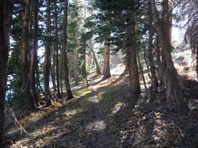
trees. It was about 4:30 when I stopped for a break on some rocks next to the lake. I decided I'd try to make it to Lower Merced Pass Lake and camp there so that I wouldn't have as long of a walk the following day.
I ended up getting to Lower Merced Pass around 6:00. I didn't find a trail that brought me there. I had to cut through the forest and some dry grass to get to the southeastern part of it. There was a very large campsite with some incredibly flat ground. I decided not to make a fire since it wasn't that cold and I had brought plenty of layers to keep me warm.
Lower Merced Pass Lake is probably not a destination in itself. I don't think there are any fish in it. The bottom is very muddy, so it's not the best place to fill up water bottles either. But it's still gorgeous in its own right.
There isn't much to tell about this last day. I woke up super early and got going while it was still dark. It was about 10 miles or so back to the trailhead, and most of it was downhill.
When I got to the trailhead, I was beyond relieved to find that the gas tank had not, in fact, been punctured. The car probably took an even worse beating on the way down the mountain, but luckily, the friendly employees at Enterprise didn't notice any of the paint damage on the bottom of the vehicle. If you're still reading this and you're planning on doing this trip, trust me, bring a 4WD vehicle.